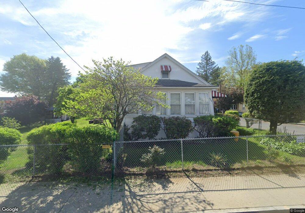
339 Cold Spring Ave West Springfield, MA 01089
Estimated Value: $304,999 - $405,000
4
Beds
1
Bath
1,448
Sq Ft
$237/Sq Ft
Est. Value
About This Home
This home is located at 339 Cold Spring Ave, West Springfield, MA 01089 and is currently estimated at $343,250, approximately $237 per square foot. 339 Cold Spring Ave is a home located in Hampden County with nearby schools including West Springfield High School, Veritas Preparatory Charter School, and Hampden Charter School of Science West.
Ownership History
Date
Name
Owned For
Owner Type
Purchase Details
Closed on
Oct 28, 2015
Sold by
Slusars Mary A
Bought by
Slusars Mary A and Slusars Clara D
Current Estimated Value
Purchase Details
Closed on
Mar 14, 2002
Sold by
Lachapelle Richard and Lachapelle Richard
Bought by
Li Guozhu
Home Financials for this Owner
Home Financials are based on the most recent Mortgage that was taken out on this home.
Original Mortgage
$139,040
Interest Rate
7.04%
Mortgage Type
Purchase Money Mortgage
Create a Home Valuation Report for This Property
The Home Valuation Report is an in-depth analysis detailing your home's value as well as a comparison with similar homes in the area
Home Values in the Area
Average Home Value in this Area
Purchase History
| Date | Buyer | Sale Price | Title Company |
|---|---|---|---|
| Slusars Mary A | -- | -- | |
| Slusars Mary A | -- | -- | |
| Li Guozhu | $173,800 | -- |
Source: Public Records
Mortgage History
| Date | Status | Borrower | Loan Amount |
|---|---|---|---|
| Previous Owner | Li Guozhu | $139,040 |
Source: Public Records
Tax History
| Year | Tax Paid | Tax Assessment Tax Assessment Total Assessment is a certain percentage of the fair market value that is determined by local assessors to be the total taxable value of land and additions on the property. | Land | Improvement |
|---|---|---|---|---|
| 2025 | $3,347 | $225,100 | $87,400 | $137,700 |
| 2024 | $3,317 | $224,000 | $87,400 | $136,600 |
| 2023 | $3,071 | $197,600 | $87,400 | $110,200 |
| 2022 | $2,804 | $177,900 | $79,300 | $98,600 |
| 2021 | $2,374 | $140,500 | $64,400 | $76,100 |
| 2020 | $2,382 | $140,200 | $64,400 | $75,800 |
| 2019 | $2,378 | $140,200 | $64,400 | $75,800 |
| 2018 | $2,390 | $140,200 | $64,400 | $75,800 |
| 2017 | $2,390 | $140,200 | $64,400 | $75,800 |
| 2016 | $2,387 | $140,500 | $61,900 | $78,600 |
| 2015 | $2,390 | $140,700 | $60,700 | $80,000 |
| 2014 | $579 | $140,700 | $60,700 | $80,000 |
Source: Public Records
Map
Nearby Homes
- 331 Cold Spring Ave
- 176 Norman St
- 330 Cold Spring Ave
- 340 Cold Spring Ave
- 323 Cold Spring Ave
- 98 Allston Ave
- 355 Cold Spring Ave
- 355 Cold Spring Ave
- 198 Norman St
- 164 Norman St
- 102 Allston Ave
- 365 Cold Spring Ave
- 156 Norman St
- 208 Norman St
- 123 Heywood Ave
- 177 Norman St
- 216 Norman St
- 157 Norman St
- 101 - 105 Heywood Ave
- 379 Cold Spring Ave
Your Personal Tour Guide
Ask me questions while you tour the home.