339 Crown Point Dr Bellvue, CO 80512
Estimated Value: $366,593 - $544,000
2
Beds
1
Bath
936
Sq Ft
$503/Sq Ft
Est. Value
About This Home
This home is located at 339 Crown Point Dr, Bellvue, CO 80512 and is currently estimated at $470,398, approximately $502 per square foot. 339 Crown Point Dr is a home located in Larimer County with nearby schools including Cache La Poudre Elementary School, Cache La Poudre Middle School, and Poudre High School.
Ownership History
Date
Name
Owned For
Owner Type
Purchase Details
Closed on
Jan 4, 2006
Sold by
Lewis Joe and Lewis Sandy
Bought by
Lewis Joe and Lewis Sandy
Current Estimated Value
Purchase Details
Closed on
Feb 9, 2004
Sold by
Pahl John D and Pahl Larue M
Bought by
Lewis Joe and Lewis Sandy
Purchase Details
Closed on
Aug 30, 2001
Sold by
Clara A Miller Family Trust
Bought by
Lewis Joe and Lewis Sandy
Purchase Details
Closed on
Jan 1, 1995
Sold by
Miller Clara A Est Of
Bought by
Miller Clara A Family Trust
Create a Home Valuation Report for This Property
The Home Valuation Report is an in-depth analysis detailing your home's value as well as a comparison with similar homes in the area
Home Values in the Area
Average Home Value in this Area
Purchase History
| Date | Buyer | Sale Price | Title Company |
|---|---|---|---|
| Lewis Joe | -- | None Available | |
| Lewis Joe | -- | -- | |
| Lewis Joe | $70,000 | -- | |
| Lewis Joe | $50,000 | -- | |
| Miller Clara A Family Trust | -- | -- |
Source: Public Records
Tax History Compared to Growth
Tax History
| Year | Tax Paid | Tax Assessment Tax Assessment Total Assessment is a certain percentage of the fair market value that is determined by local assessors to be the total taxable value of land and additions on the property. | Land | Improvement |
|---|---|---|---|---|
| 2025 | $2,027 | $22,780 | $6,700 | $16,080 |
| 2024 | $1,938 | $22,780 | $6,700 | $16,080 |
| 2022 | $1,818 | $17,375 | $6,533 | $10,842 |
| 2021 | $1,840 | $17,875 | $6,721 | $11,154 |
| 2020 | $1,335 | $12,870 | $6,721 | $6,149 |
| 2019 | $1,341 | $12,870 | $6,721 | $6,149 |
| 2018 | $976 | $9,634 | $6,336 | $3,298 |
| 2017 | $949 | $9,396 | $6,336 | $3,060 |
| 2016 | $1,158 | $11,407 | $5,970 | $5,437 |
| 2015 | $1,150 | $11,410 | $5,970 | $5,440 |
| 2014 | -- | $14,040 | $4,060 | $9,980 |
Source: Public Records
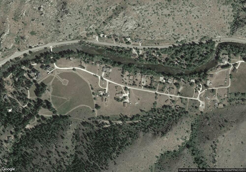
Map
Nearby Homes
- 209 Crown Point Dr
- 32224 Poudre Canyon Rd
- 50 Meadow Ln
- 277 Riverside Dr
- 110 Meadow Ln
- 428 Rustic Rd
- 33032 Poudre Canyon Rd
- 0 County Road 68c
- 37797 W Highway 14
- 37797 Poudre Canyon Rd
- 23348 W County Road 74e
- 24192 W County Road 74e
- 76 Piney Knolls Dr
- 255 Bogie Ave
- 11 Monument Gulch Way
- 17931 W County Road 74e
- 180 Deep Cut Rd
- 231 Snake Lake Dr
- 983 Ramona Dr
- 121 Pine Nut Ln
- 15 Crown Point Dr
- 311 Crown Point Dr
- 399 Crown Point Rd
- 320 Crown Point Dr
- 348 Crown Point Dr
- 314 Crown Point Dr
- 370 Crown Point Dr
- 392 Crown Point Dr
- 59 W Rustic Rd
- 296 Crown Point Dr
- 237 Crown Point Dr
- 55 W Rustic Rd
- 32121 Colorado 14
- 260 Crown Point Dr
- 237 Crown Point
- 57 Rustic Rd
- 32087 Poudre Canyon Rd
- 32121 Poudre Canyon Rd
- 32133 Poudre Canyon Rd
- 250 Crown Point Dr