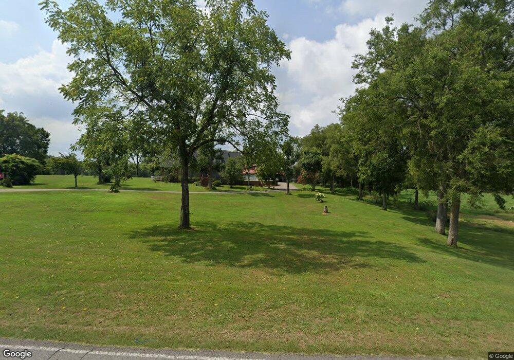
339 Eldad Rd Fayetteville, TN 37334
Estimated Value: $478,000 - $515,869
--
Bed
2
Baths
2,380
Sq Ft
$209/Sq Ft
Est. Value
About This Home
This home is located at 339 Eldad Rd, Fayetteville, TN 37334 and is currently estimated at $496,935, approximately $208 per square foot. 339 Eldad Rd is a home located in Lincoln County with nearby schools including Lincoln Central Academy, Flintville School, and Lincoln County High School.
Ownership History
Date
Name
Owned For
Owner Type
Purchase Details
Closed on
Jun 11, 2021
Sold by
Crabtree Billy Wade and Crabtree Pamela P
Bought by
Crabtree Billy Wade and Crabtree Pamela P
Current Estimated Value
Purchase Details
Closed on
Oct 7, 1992
Bought by
Crabtree Billy Wade and Crabtree Pamela P
Purchase Details
Closed on
Jan 2, 1986
Bought by
Crabtree Billy Wade and Crabtree Pamela P
Purchase Details
Closed on
Jan 1, 1986
Create a Home Valuation Report for This Property
The Home Valuation Report is an in-depth analysis detailing your home's value as well as a comparison with similar homes in the area
Home Values in the Area
Average Home Value in this Area
Purchase History
| Date | Buyer | Sale Price | Title Company |
|---|---|---|---|
| Crabtree Billy Wade | -- | None Available | |
| Crabtree Billy Wade | -- | None Available | |
| Crabtree Billy Wade | -- | None Available | |
| Crabtree Billy Wade | -- | None Available | |
| Crabtree Billy Wade | $23,500 | -- | |
| Crabtree Billy Wade | $23,500 | -- | |
| Crabtree Billy Wade | $25,000 | -- | |
| Crabtree Billy Wade | $25,000 | -- | |
| -- | $6,500 | -- | |
| -- | $6,500 | -- |
Source: Public Records
Tax History Compared to Growth
Tax History
| Year | Tax Paid | Tax Assessment Tax Assessment Total Assessment is a certain percentage of the fair market value that is determined by local assessors to be the total taxable value of land and additions on the property. | Land | Improvement |
|---|---|---|---|---|
| 2024 | $1,913 | $100,675 | $13,275 | $87,400 |
| 2023 | $1,339 | $63,700 | $8,200 | $55,500 |
| 2022 | $1,339 | $63,700 | $8,200 | $55,500 |
| 2021 | $1,363 | $63,700 | $8,200 | $55,500 |
| 2020 | $1,363 | $64,825 | $8,200 | $56,625 |
| 2019 | $1,363 | $64,825 | $8,200 | $56,625 |
| 2018 | $1,363 | $54,975 | $6,250 | $48,725 |
| 2017 | $1,286 | $54,975 | $6,250 | $48,725 |
| 2016 | $1,286 | $54,975 | $6,250 | $48,725 |
| 2015 | -- | $54,975 | $6,250 | $48,725 |
| 2014 | $1,042 | $53,150 | $6,250 | $46,900 |
Source: Public Records
Map
Nearby Homes
- 68 Liberty Rd
- 0 Manor Dr Unit RTC2824927
- 59 Grays Ln
- 208 Jeffrey Dr
- 201 Chadwick Dr
- 1882 Wellsbrook Dr
- 0 Ardmore Hwy Unit RTC2746032
- 116 Riley Cir
- 1833 Hillwood Dr
- 12 Diemer Rd
- 24 Diemer Rd
- 28 Timberlake Dr
- 0 Lees Creek Rd Unit RTC2976033
- 1 Thornton Taylor Pkwy
- 315 Old Lincoln Rd
- 911 Kraft Ave
- 14 Simmons Cir
- 204 Davidson St W
- 206 Davidson St W
- 107 Ken Ct
- 343 Eldad Rd
- 345 Eldad Rd
- 0 Eldad Rd
- 344 Eldad Rd
- 363 Eldad Rd
- 4 Burning Tree Ln
- 11 Burning Tree Ln
- 7 Burning Tree Ln
- 367 Eldad Rd
- 362 Eldad Rd
- 13 Burning Tree Ln
- 19 Burning Tree Ln
- 21 Burning Tree Ln
- 368 Eldad Rd
- 305 Eldad Rd
- 8 Burning Tree Ln
- 2 Burning Tree Ln
- 12 Burning Tree Ln
- 306 Eldad Rd
- 27 Burning Tree Ln