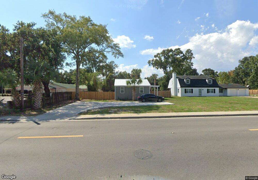
339 Forrest Ave Biloxi, MS 39530
Estimated Value: $99,078 - $157,000
2
Beds
--
Bath
700
Sq Ft
$180/Sq Ft
Est. Value
About This Home
Starting at 2,000, this cute 2 bedroom 2 bathroom cottage is seconds from the Keesler Air Force Base main gate and the beautiful Biloxi Back Bay. The fully furnished space boasts a fenced backyard for privacy, stainless steel appliances, dishwasher, washer/dryer combo, fast WiFi and a smart TV in the living area. Close to the developing Biloxi downtown, neighborhood bars, coffee shops, and restaurants this home in the perfect home away from home for military members or travel nurses on temporary assignment! All utilities included.
Ownership History
Date
Name
Owned For
Owner Type
Purchase Details
Closed on
May 3, 2022
Sold by
Jones Enterprises Of Ms Inc
Bought by
Davis Jason Earl and Davis Tomesha R
Current Estimated Value
Create a Home Valuation Report for This Property
The Home Valuation Report is an in-depth analysis detailing your home's value as well as a comparison with similar homes in the area
Home Values in the Area
Average Home Value in this Area
Purchase History
| Date | Buyer | Sale Price | Title Company |
|---|---|---|---|
| Davis Jason Earl | -- | None Listed On Document | |
| Davis Jason Earl | -- | None Listed On Document |
Source: Public Records
Property History
| Date | Event | Price | List to Sale | Price per Sq Ft |
|---|---|---|---|---|
| 12/31/2025 12/31/25 | For Rent | $2,000 | 0.0% | -- |
| 10/07/2025 10/07/25 | Off Market | $2,000 | -- | -- |
| 07/11/2025 07/11/25 | Price Changed | $2,000 | 0.0% | $3 / Sq Ft |
| 07/11/2025 07/11/25 | For Rent | $2,000 | +11.1% | -- |
| 12/22/2024 12/22/24 | For Rent | $1,800 | -- | -- |
Tax History
| Year | Tax Paid | Tax Assessment Tax Assessment Total Assessment is a certain percentage of the fair market value that is determined by local assessors to be the total taxable value of land and additions on the property. | Land | Improvement |
|---|---|---|---|---|
| 2025 | $614 | $5,494 | $0 | $0 |
| 2024 | $593 | $5,356 | $0 | $0 |
| 2023 | $585 | $5,332 | $0 | $0 |
| 2022 | $585 | $5,332 | $0 | $0 |
| 2021 | $585 | $5,332 | $0 | $0 |
| 2020 | $513 | $4,671 | $0 | $0 |
| 2019 | $513 | $4,671 | $0 | $0 |
| 2018 | $513 | $4,671 | $0 | $0 |
| 2017 | $513 | $4,671 | $0 | $0 |
| 2015 | $541 | $4,926 | $0 | $0 |
| 2014 | -- | $6,375 | $0 | $0 |
| 2013 | -- | $4,926 | $2,174 | $2,753 |
Source: Public Records
Map
Nearby Homes
- 1091 Frank P Corso St
- 1093 Cherokee St
- 1076 Cherokee St
- 1085 Cherokee St
- 1054 Columbus St
- 1050 Frank P Corso St
- 281 Forrest Ave
- 1067 Division St
- 262 Forrest Ave
- 247 Forrest Ave
- 265 Benachi Ave Unit A & B
- 1126 Judge Sekul Ave
- 258 Querens Ave
- 255 Benachi Ave Unit A&B
- 403 Gill Ave
- 440 Donwood Place
- 395 Oaklawn Place
- 000 Graham Ave
- 224 Querens Ave
- 970 Division St
- 343 Forrest Ave
- 1095 Columbus St
- 1095 Columbus St
- 347 Forrest Ave
- 342 Forrest Ave
- 342 Forrest Ave
- 331 Forrest Ave
- 1091 Columbus St
- 332 Forrest Ave
- 1089 Columbus St
- 1094 Frank P Corso St
- 1088 Columbus St
- 357 Forrest Ave
- 325 Forrest Ave
- 1112 Grady St
- 1085 Columbus St
- 359 Forrest Ave
- 1084 Frank P Corso St
- 358 Forrest Ave
- 345 Porter Ave
