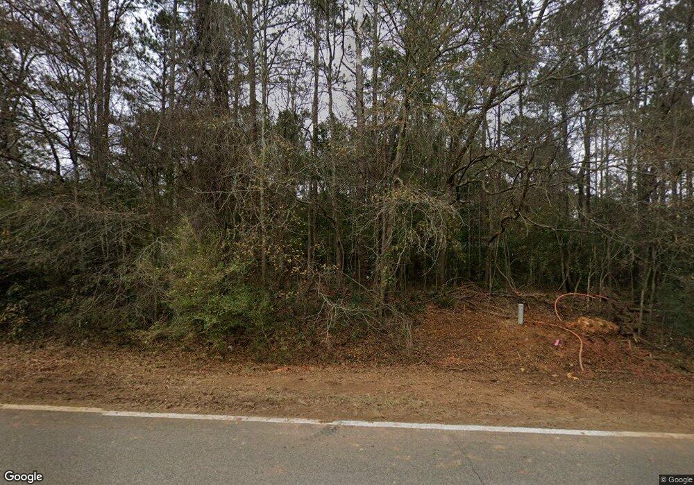
339 Ga Highway 49 S Americus, GA 31719
Estimated Value: $196,000 - $319,863
3
Beds
2
Baths
2,500
Sq Ft
$93/Sq Ft
Est. Value
About This Home
This home is located at 339 Ga Highway 49 S, Americus, GA 31719 and is currently estimated at $232,466, approximately $92 per square foot. 339 Ga Highway 49 S is a home located in Sumter County with nearby schools including Sumter County Primary School, Sumter County Elementary School, and Sumter County Middle School.
Ownership History
Date
Name
Owned For
Owner Type
Purchase Details
Closed on
Aug 17, 1998
Sold by
Elliott William F
Bought by
Graves Norman D and Graves R
Current Estimated Value
Purchase Details
Closed on
Apr 16, 1998
Sold by
Citizens Bank Of Ame
Bought by
Elliott William F
Purchase Details
Closed on
Apr 2, 1998
Sold by
Strickland James
Bought by
Citizens Bank Of Ame
Purchase Details
Closed on
Jul 2, 1996
Sold by
Francis Carl
Bought by
Strickland James
Purchase Details
Closed on
Nov 7, 1994
Sold by
Cartwright Cartwright H and Cartwright Sh
Bought by
Francis Carl
Create a Home Valuation Report for This Property
The Home Valuation Report is an in-depth analysis detailing your home's value as well as a comparison with similar homes in the area
Home Values in the Area
Average Home Value in this Area
Purchase History
| Date | Buyer | Sale Price | Title Company |
|---|---|---|---|
| Graves Norman D | $131,000 | -- | |
| Elliott William F | $47,500 | -- | |
| Citizens Bank Of Ame | -- | -- | |
| Strickland James | $22,000 | -- | |
| Francis Carl | $15,500 | -- |
Source: Public Records
Tax History Compared to Growth
Tax History
| Year | Tax Paid | Tax Assessment Tax Assessment Total Assessment is a certain percentage of the fair market value that is determined by local assessors to be the total taxable value of land and additions on the property. | Land | Improvement |
|---|---|---|---|---|
| 2024 | $3,255 | $78,892 | $12,240 | $66,652 |
| 2023 | $3,179 | $78,892 | $12,240 | $66,652 |
| 2022 | $3,179 | $78,892 | $12,240 | $66,652 |
| 2021 | $3,184 | $78,892 | $12,240 | $66,652 |
| 2020 | $3,265 | $78,892 | $12,240 | $66,652 |
| 2019 | $3,148 | $78,892 | $12,240 | $66,652 |
| 2018 | $3,148 | $78,892 | $12,240 | $66,652 |
| 2017 | $3,148 | $78,892 | $12,240 | $66,652 |
| 2016 | $3,171 | $79,532 | $12,240 | $67,292 |
| 2015 | $3,372 | $87,748 | $13,320 | $74,428 |
| 2014 | $2,889 | $82,996 | $13,320 | $69,676 |
| 2013 | -- | $82,996 | $13,320 | $69,676 |
Source: Public Records
Map
Nearby Homes
- 148 Harper Subdivision
- TBD New Bending Rd
- 104 Westlake Cir
- Lot 38 Wolf Creek Dr
- TBD Wolf Creek Dr
- 207 Wolf Creek Dr
- 205 U S 19
- 000 U S Highway 19
- Lot 73 & 74 Wolf Creek Dr
- 0 Beale St
- 205 Valley Dr
- 0 Highway 30 Unit 25006222
- 406 S Hampton St
- 704 Harrold Ave
- 624 Harrold Ave
- 229 Bell St
- 302 W College St
- 126 Bell St
- 130 W Dodson St
- 1202 S Lee St
- 328 Ga Hwy 49s
- 328 Georgia 49
- 314 Ga Highway 49 S
- 318 Ga Highway 49 S
- 332 Georgia 49
- 1629 Ga Highway 49 S
- 319 Albany Annex
- 334 Albany Annex
- 271 Ga Highway 49 S
- 278 Ga Highway 49 S
- 270 Ga Highway 49 S
- 265 Ga Highway 49 S
- 178 Harper Subdivision
- 105 Harper Subdivision
- 304 Albany Annex
- 259 Ga Highway 49 S
- 115 Harper Subdivision
- 0 Fox Stephens Rd Unit 56953
- 0 Fox Stephens Rd Unit 7438263
- 165 Harper Subdivision
