339 Lansing Island Dr Satellite Beach, FL 32937
Estimated Value: $2,913,000 - $3,165,000
4
Beds
6
Baths
7,102
Sq Ft
$423/Sq Ft
Est. Value
About This Home
This home is located at 339 Lansing Island Dr, Satellite Beach, FL 32937 and is currently estimated at $3,003,542, approximately $422 per square foot. 339 Lansing Island Dr is a home located in Brevard County with nearby schools including Satellite Senior High School, Ocean Breeze Elementary School, and DeLaura Middle School.
Ownership History
Date
Name
Owned For
Owner Type
Purchase Details
Closed on
Dec 31, 2008
Sold by
Scott Timothy and Scott Lisa
Bought by
Scott Timothy Neal and Scott Lisa Marie
Current Estimated Value
Purchase Details
Closed on
Apr 9, 2004
Sold by
Kizirian John and Kizirian Carol Chandler
Bought by
Scott Timothy and Scott Lisa
Purchase Details
Closed on
Sep 26, 2003
Sold by
Kizirian John and Kizirian Carol Chandler
Bought by
Kizirian John and Kizirian Carol Chandler
Purchase Details
Closed on
Mar 6, 2002
Sold by
S Island Dev Corp
Bought by
Kizirian John and Kizirian Carol Chandler
Create a Home Valuation Report for This Property
The Home Valuation Report is an in-depth analysis detailing your home's value as well as a comparison with similar homes in the area
Home Values in the Area
Average Home Value in this Area
Purchase History
| Date | Buyer | Sale Price | Title Company |
|---|---|---|---|
| Scott Timothy Neal | -- | Attorney | |
| Scott Timothy | $575,000 | Republic Title Company | |
| Kizirian John | -- | -- | |
| Kizirian John | $345,000 | -- |
Source: Public Records
Tax History Compared to Growth
Tax History
| Year | Tax Paid | Tax Assessment Tax Assessment Total Assessment is a certain percentage of the fair market value that is determined by local assessors to be the total taxable value of land and additions on the property. | Land | Improvement |
|---|---|---|---|---|
| 2025 | $23,205 | $1,339,710 | -- | -- |
| 2024 | $22,993 | $1,301,960 | -- | -- |
| 2023 | $22,993 | $1,264,040 | $0 | $0 |
| 2022 | $21,739 | $1,227,230 | $0 | $0 |
| 2021 | $22,683 | $1,191,490 | $0 | $0 |
| 2020 | $22,684 | $1,175,040 | $0 | $0 |
| 2019 | $22,655 | $1,148,630 | $0 | $0 |
| 2018 | $22,780 | $1,127,220 | $0 | $0 |
| 2017 | $21,937 | $1,097,740 | $0 | $0 |
| 2016 | $22,112 | $1,075,170 | $337,150 | $738,020 |
| 2015 | $22,539 | $1,067,700 | $294,250 | $773,450 |
| 2014 | $22,630 | $1,059,230 | $294,250 | $764,980 |
Source: Public Records
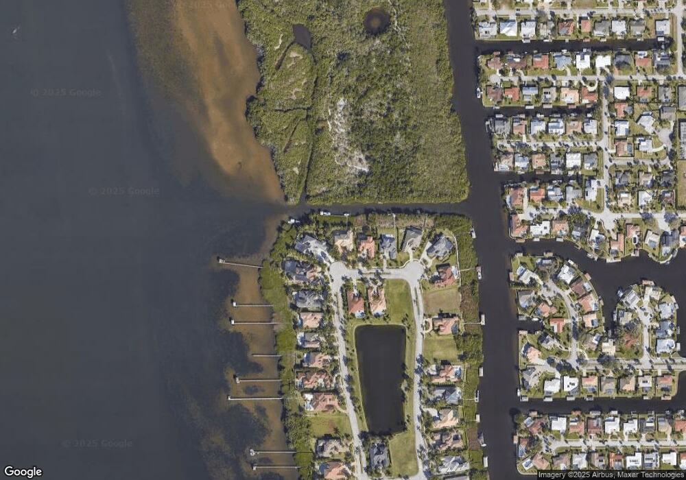
Map
Nearby Homes
- 327 Lansing Island Dr
- 630 Seville Ct
- 695 Jackson Ct
- 100 Matthews St
- 660 S Hedgecock Square
- 595 Park Ave Unit 1
- 702 Mar Brisa Ct Unit U702
- 612 Mar Brisa Ct
- 527 Wilson Ave
- Pearson End Unit Plan at Tortuga Cay
- Pearson Interior Unit Plan at Tortuga Cay
- 53 Emerald Ct
- 1341 S Patrick Dr
- 11 Barbara Ct
- 520 Lee Ave
- 545 Teakwood Ave
- 37 Tortuga Trail
- 35 Tortuga Trail
- 33 Tortuga Trail
- 31 Tortuga Trail
- 341 Lansing Island Dr
- 341 Lansing Island
- 335 Lansing Island Dr
- 342 Lansing Island Dr
- 342 Lansing Island
- 331 Lansing Island Dr
- 338 Lansing Island Dr
- 343 Lansing Island Dr
- 340 Lansing Island Dr
- 340 Lansing Island
- 337 Lansing Island Dr
- 337 Lansing Island
- 325 Lansing Island Dr
- 328 Lansing Island Dr
- 323 Lansing Island
- 323 Lansing Island Dr
- 332 Lansing Island Dr
- 332 Lansing Island
- 324 Lansing Island Dr
- 328 Lansing Island