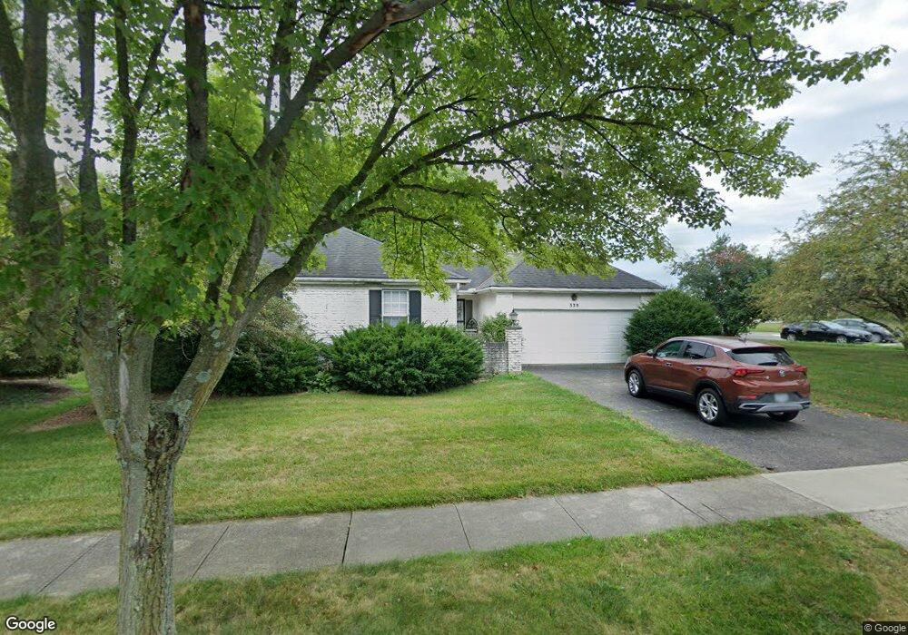
339 Longbranch Dr Dublin, OH 43017
Estimated Value: $437,000 - $497,000
3
Beds
3
Baths
1,638
Sq Ft
$292/Sq Ft
Est. Value
About This Home
This home is located at 339 Longbranch Dr, Dublin, OH 43017 and is currently estimated at $478,959, approximately $292 per square foot. 339 Longbranch Dr is a home located in Franklin County with nearby schools including Indian Run Elementary School, John Sells Middle School, and Dublin Coffman High School.
Ownership History
Date
Name
Owned For
Owner Type
Purchase Details
Closed on
Dec 10, 1998
Sold by
Taft Mariner R and Taft Janice G
Bought by
Nash Lee C
Current Estimated Value
Home Financials for this Owner
Home Financials are based on the most recent Mortgage that was taken out on this home.
Original Mortgage
$150,900
Outstanding Balance
$34,721
Interest Rate
6.93%
Estimated Equity
$444,238
Purchase Details
Closed on
Jan 3, 1994
Bought by
Taft Mariner R and Taft Janice G
Purchase Details
Closed on
Jun 13, 1988
Purchase Details
Closed on
May 1, 1987
Create a Home Valuation Report for This Property
The Home Valuation Report is an in-depth analysis detailing your home's value as well as a comparison with similar homes in the area
Home Values in the Area
Average Home Value in this Area
Purchase History
| Date | Buyer | Sale Price | Title Company |
|---|---|---|---|
| Nash Lee C | $158,900 | Chicago Title | |
| Taft Mariner R | $157,000 | -- | |
| -- | $108,000 | -- | |
| -- | $19,500 | -- |
Source: Public Records
Mortgage History
| Date | Status | Borrower | Loan Amount |
|---|---|---|---|
| Open | Nash Lee C | $150,900 |
Source: Public Records
Tax History Compared to Growth
Tax History
| Year | Tax Paid | Tax Assessment Tax Assessment Total Assessment is a certain percentage of the fair market value that is determined by local assessors to be the total taxable value of land and additions on the property. | Land | Improvement |
|---|---|---|---|---|
| 2024 | $12,549 | $124,530 | $52,220 | $72,310 |
| 2023 | $7,978 | $124,530 | $52,220 | $72,310 |
| 2022 | $6,607 | $94,260 | $36,090 | $58,170 |
| 2021 | $6,709 | $94,260 | $36,090 | $58,170 |
| 2020 | $6,678 | $94,260 | $36,090 | $58,170 |
| 2019 | $6,034 | $75,330 | $28,880 | $46,450 |
| 2018 | $6,041 | $75,330 | $28,880 | $46,450 |
| 2017 | $5,615 | $75,330 | $28,880 | $46,450 |
| 2016 | $5,983 | $75,360 | $28,000 | $47,360 |
| 2015 | $6,022 | $75,360 | $28,000 | $47,360 |
| 2014 | $6,029 | $75,360 | $28,000 | $47,360 |
| 2013 | $2,788 | $68,495 | $25,445 | $43,050 |
Source: Public Records
Map
Nearby Homes
- 342 Saint Andrews Dr Unit 342
- 302 Saint Andrews Dr Unit 302
- 5830 Settlers Place
- 372 Edinburgh Rd
- 416 Edinburgh Rd
- 390 Edinburgh Rd
- 412 Edinburgh Rd
- 6350 Frantz Rd
- 5850 Chatterfield Dr
- 6527 Quarry Ln
- 6052 Dublin Rd
- 143 S Riverview St
- 6383 Dummerston Ct
- 3334 Edgebrook Dr
- 6241 Buck Ridge Rd
- 4569 Wuertz Ct
- 6549 Brock St
- 6187 Water Bank St
- 3263 Scioto Ridge Rd
- 6190 Scioto Highland Rd
- 331 Longbranch Dr
- 323 Longbranch Dr
- 340 Longbranch Dr
- 348 Longbranch Dr
- 365 Avon Ct
- 315 Longbranch Dr
- 335 Avon Ct
- 345 Avon Ct
- 307 Longbranch Dr
- 368 Avon Ct
- 325 Avon Ct
- 360 Avon Ct
- 352 Avon Ct
- 299 Longbranch Dr
- 302 Longbranch Dr
- 344 Avon Ct
- 315 Avon Ct
- 4888 Blazer Pkwy
- 363 Ashworth Ct
- 294 Longbranch Dr