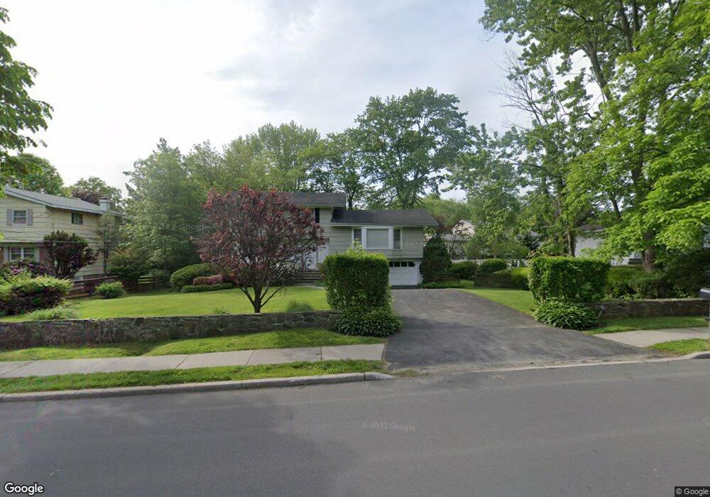
339 Rosedale Ave White Plains, NY 10605
Rosedale NeighborhoodEstimated Value: $829,000 - $928,064
4
Beds
3
Baths
2,076
Sq Ft
$430/Sq Ft
Est. Value
About This Home
This home is located at 339 Rosedale Ave, White Plains, NY 10605 and is currently estimated at $892,016, approximately $429 per square foot. 339 Rosedale Ave is a home located in Westchester County with nearby schools including White Plains Middle School, White Plains Senior High School, and German International School New York.
Ownership History
Date
Name
Owned For
Owner Type
Purchase Details
Closed on
May 9, 2023
Sold by
Cohn Joan S
Bought by
Spina Anthony N and Spina Joanna M
Current Estimated Value
Home Financials for this Owner
Home Financials are based on the most recent Mortgage that was taken out on this home.
Original Mortgage
$400,000
Outstanding Balance
$388,632
Interest Rate
6.27%
Mortgage Type
New Conventional
Estimated Equity
$503,384
Purchase Details
Closed on
Aug 14, 2006
Sold by
Cohn James J and Cohn Joan S
Bought by
Cohn Joan S
Create a Home Valuation Report for This Property
The Home Valuation Report is an in-depth analysis detailing your home's value as well as a comparison with similar homes in the area
Home Values in the Area
Average Home Value in this Area
Purchase History
| Date | Buyer | Sale Price | Title Company |
|---|---|---|---|
| Spina Anthony N | $750,000 | None Listed On Document | |
| Cohn Joan S | -- | None Available |
Source: Public Records
Mortgage History
| Date | Status | Borrower | Loan Amount |
|---|---|---|---|
| Open | Spina Anthony N | $400,000 |
Source: Public Records
Tax History Compared to Growth
Tax History
| Year | Tax Paid | Tax Assessment Tax Assessment Total Assessment is a certain percentage of the fair market value that is determined by local assessors to be the total taxable value of land and additions on the property. | Land | Improvement |
|---|---|---|---|---|
| 2024 | $2,202 | $14,300 | $3,300 | $11,000 |
| 2023 | $2,027 | $14,300 | $3,300 | $11,000 |
| 2022 | $9,778 | $14,300 | $3,300 | $11,000 |
| 2021 | $9,775 | $14,300 | $3,300 | $11,000 |
| 2020 | $9,564 | $14,300 | $3,300 | $11,000 |
| 2019 | $14,770 | $14,300 | $3,300 | $11,000 |
| 2018 | $9,667 | $14,300 | $3,300 | $11,000 |
| 2017 | $0 | $14,300 | $3,300 | $11,000 |
| 2016 | $13,533 | $14,300 | $3,300 | $11,000 |
| 2015 | -- | $14,300 | $3,300 | $11,000 |
| 2014 | -- | $14,300 | $3,300 | $11,000 |
| 2013 | -- | $14,300 | $3,300 | $11,000 |
Source: Public Records
Map
Nearby Homes
- 3 Old Farm Cir
- 43 Westfield Rd
- 8 Westfield Cir
- 455 Rosedale Ave
- 20 Devonshire Dr
- 64 Richbell Rd
- 6 Valley Place
- 33 Sammis Ln
- 655 North St
- 23 Inverness Ct
- 6 Love Ln
- 460 Sterling Rd
- 77 Pleasant Ridge Rd
- 28 Durham Rd
- 17 Avondale Rd
- 39 Club Pointe Dr Unit 11
- 16 Ria Dr
- 40 Polly Park Rd
- 39 Rigene Rd
- 4 Commodore Ave
- 345 Rosedale Ave
- 353 Rosedale Ave
- 333 Rosedale Ave
- 6 Carriage Way
- 8 Carriage Way
- 361 Rosedale Ave
- 4 Carriage Way
- 0 Carriage Way
- 14 Carriage Way
- 19 Carriage Trail
- 33 Carriage Way
- 1 Willowbrook Rd
- 15 Old Farm Cir
- 10 Old Farm Cir Unit 22C
- 2 Carriage Way
- 16 Carriage Way
- 18 Carriage Way
- 11 Carriage Way
- 7 Willowbrook Rd
- 11 Old Farm Cir