Estimated Value: $359,137 - $502,000
--
Bed
1
Bath
1,288
Sq Ft
$325/Sq Ft
Est. Value
About This Home
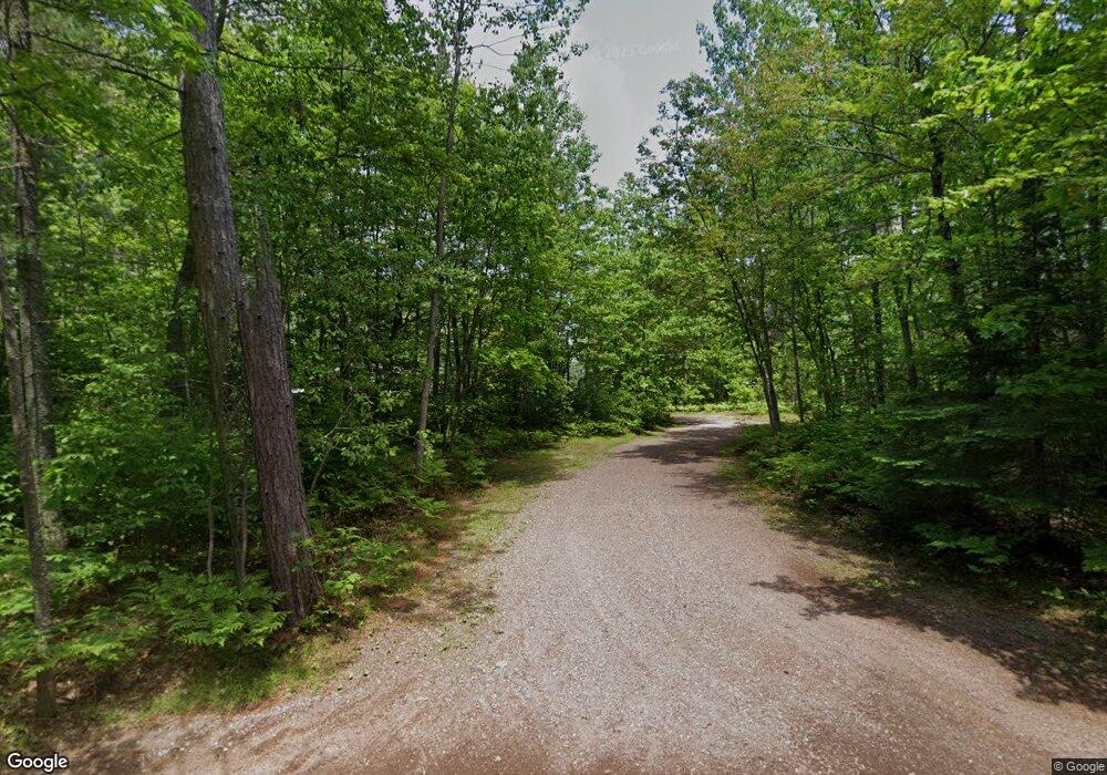
This home is located at 339 S Johnson Lake Dr, Gwinn, MI 49841 and is currently estimated at $419,046, approximately $325 per square foot. 339 S Johnson Lake Dr is a home with nearby schools including K.I. Sawyer Elementary School and Gwinn Middle/High School.
Ownership History
Date
Name
Owned For
Owner Type
Purchase Details
Closed on
Dec 31, 2021
Sold by
Dahlstrom Terry C and Dahlstrom Kristi M
Bought by
Terry C Dahlstrom And Kristi M Dahlstrom Trus and Dahlstrom Kristi M
Current Estimated Value
Purchase Details
Closed on
Jul 15, 2020
Sold by
Carlyon Dennis J and Carlyon Peggy M
Bought by
Dahlstrom Terry C and Dahlstrom Kristi M
Home Financials for this Owner
Home Financials are based on the most recent Mortgage that was taken out on this home.
Original Mortgage
$163,800
Interest Rate
3.1%
Mortgage Type
New Conventional
Purchase Details
Closed on
Feb 18, 2009
Sold by
Carlyon Dennis J and Carlyon Peggy M
Bought by
Carlyon Dennis J and Carlyon Peggy M
Create a Home Valuation Report for This Property
The Home Valuation Report is an in-depth analysis detailing your home's value as well as a comparison with similar homes in the area
Home Values in the Area
Average Home Value in this Area
Purchase History
| Date | Buyer | Sale Price | Title Company |
|---|---|---|---|
| Terry C Dahlstrom And Kristi M Dahlstrom Trus | -- | Quinnell Timothy C | |
| Dahlstrom Terry C | $182,000 | Odea Nordeen Burink And Picken | |
| Carlyon Dennis J | -- | Marquette County Title |
Source: Public Records
Mortgage History
| Date | Status | Borrower | Loan Amount |
|---|---|---|---|
| Previous Owner | Dahlstrom Terry C | $163,800 |
Source: Public Records
Tax History Compared to Growth
Tax History
| Year | Tax Paid | Tax Assessment Tax Assessment Total Assessment is a certain percentage of the fair market value that is determined by local assessors to be the total taxable value of land and additions on the property. | Land | Improvement |
|---|---|---|---|---|
| 2025 | $21 | $174,600 | $0 | $0 |
| 2024 | $21 | $167,800 | $0 | $0 |
| 2023 | $1,958 | $132,100 | $0 | $0 |
| 2022 | $3,863 | $77,900 | $0 | $0 |
| 2021 | $3,745 | $119,600 | $0 | $0 |
| 2020 | $1,807 | $77,900 | $0 | $0 |
| 2019 | $2,732 | $66,300 | $0 | $0 |
| 2018 | $2,665 | $66,900 | $0 | $0 |
| 2017 | $2,522 | $68,150 | $0 | $0 |
| 2016 | $2,508 | $48,550 | $0 | $0 |
| 2015 | -- | $48,550 | $0 | $0 |
| 2014 | -- | $49,300 | $0 | $0 |
| 2012 | -- | $51,850 | $0 | $0 |
Source: Public Records
Map
Nearby Homes
- 353 S Johnson Lake Dr
- 1.38A E Johnson Lake Rd
- Parcel 4 Off Johnson Lake Rd
- Parcel 7 Off Johnson Lake Rd
- Parcel 6 Off Johnson Lake Rd
- Parcel 8 Off Johnson Lake Rd
- 192 Johnson Lake Rd
- Parcel 3 Iron Pin Trail
- Parcel 1 Iron Pin Trail
- on S Bertrand Lake Rd
- SEC34 19 Tbd
- SEC34 19 Tbd Unit SEC34 19
- 115 N M553
- 55 E Riling St Unit Lot 82
- 171 E Sands St
- 148 E Sands St
- 149 N Spruce St
- Parcel 2 S Rice Lake Dr
- Parcel 4 S Rice Lake Dr
- Parcel 5 S Rice Lake Dr
- 341 S Johnson Dr
- 337 S Johnson Dr
- 345 S Johnson Lake Dr
- 335 S Johnson Lake Dr
- 335 S Johnson Lake Dr
- 343 S Johnson Lake Dr
- 333 S Johnson Lake Dr
- 349 S Johnson Dr
- 351 S Johnson Lake Dr
- 3315 S Johnson Dr
- 331 S Johnson Dr
- 329 S Johnson Lake Dr
- 327 S Johnson Lake Dr
- 282 S Francis Mine Dr
- 260 S Johnson Lake Dr
- 325 S Johnson Dr
- 298 S Francis Mine Dr
- 378 S Francis Mine Dr
- 338 S Francis Mine Dr
- 292 S Francis Mine Dr
