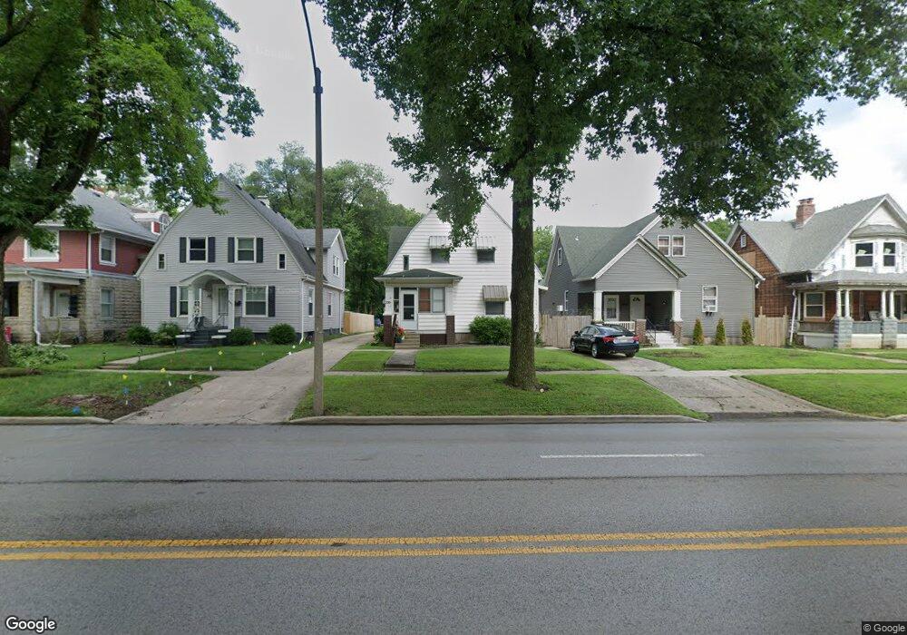
339 S Macarthur Blvd Springfield, IL 62704
Historic West Side NeighborhoodEstimated Value: $108,921 - $161,000
Studio
--
Bath
2,372
Sq Ft
$56/Sq Ft
Est. Value
About This Home
This home is located at 339 S Macarthur Blvd, Springfield, IL 62704 and is currently estimated at $133,980, approximately $56 per square foot. 339 S Macarthur Blvd is a home located in Sangamon County with nearby schools including Dubois Elementary School, U.S. Grant Middle School, and Springfield High School.
Ownership History
Date
Name
Owned For
Owner Type
Purchase Details
Closed on
Apr 15, 2021
Sold by
Hamende Michael L
Bought by
Sponsler Stacey
Current Estimated Value
Home Financials for this Owner
Home Financials are based on the most recent Mortgage that was taken out on this home.
Original Mortgage
$164,000
Interest Rate
3.09%
Mortgage Type
New Conventional
Purchase Details
Closed on
Feb 27, 1998
Create a Home Valuation Report for This Property
The Home Valuation Report is an in-depth analysis detailing your home's value as well as a comparison with similar homes in the area
Home Values in the Area
Average Home Value in this Area
Purchase History
| Date | Buyer | Sale Price | Title Company |
|---|---|---|---|
| Sponsler Stacey | $164,000 | Illinois Real Estate Title | |
| -- | $131,000 | -- |
Source: Public Records
Mortgage History
| Date | Status | Borrower | Loan Amount |
|---|---|---|---|
| Previous Owner | Sponsler Stacey | $164,000 |
Source: Public Records
Tax History
| Year | Tax Paid | Tax Assessment Tax Assessment Total Assessment is a certain percentage of the fair market value that is determined by local assessors to be the total taxable value of land and additions on the property. | Land | Improvement |
|---|---|---|---|---|
| 2024 | $2,484 | $29,573 | $4,889 | $24,684 |
| 2023 | $2,388 | $27,013 | $4,466 | $22,547 |
| 2022 | $2,296 | $25,624 | $4,236 | $21,388 |
| 2021 | $2,220 | $24,664 | $4,077 | $20,587 |
| 2020 | $2,176 | $24,701 | $4,083 | $20,618 |
| 2019 | $2,135 | $24,615 | $4,069 | $20,546 |
| 2018 | $2,070 | $24,495 | $4,049 | $20,446 |
| 2017 | $2,027 | $24,179 | $3,997 | $20,182 |
| 2016 | $1,987 | $23,827 | $3,939 | $19,888 |
| 2015 | $1,968 | $23,542 | $3,892 | $19,650 |
| 2014 | $1,938 | $23,390 | $3,867 | $19,523 |
| 2013 | $1,895 | $23,390 | $3,867 | $19,523 |
Source: Public Records
Map
Nearby Homes
- 215 S Macarthur Blvd
- 342 S Douglas Ave
- 318 S State St
- 112 N Macarthur Blvd
- 615 S English Ave
- 545 S Lincoln Ave
- 709 S Douglas Ave
- 221 N State St
- 236 N English Ave
- 631 W Edwards St
- 700 W Jefferson St
- 121 N Parker Ave
- 235 N Illinois St
- 423 S Adelia St
- 1316 W Lawrence Ave
- 447 W Cook St
- 817 S Park Ave
- 1125 Williams Blvd
- 259 N Columbia Ave
- 1020 S Macarthur Blvd
- 337 S Macarthur Blvd
- 401 S Macarthur Blvd
- 405 S Macarthur Blvd
- 329 S Macarthur Blvd
- 325 S Macarthur Blvd
- 321 S Macarthur Blvd
- 413 S Macarthur Blvd
- 400 S Macarthur Blvd
- 336 S Macarthur Blvd
- 334 S Macarthur Blvd
- 1015 W Governor St
- 404 S Macarthur Blvd
- 319 S Macarthur Blvd
- 1021 W Governor St
- 330 S Macarthur Blvd
- 326 S Macarthur Blvd
- 1025 W Governor St
- 320 S Macarthur Blvd
- 931 W Governor St
- 318 S Macarthur Blvd
Your Personal Tour Guide
Ask me questions while you tour the home.