3391 Bob Bryant Rd Gainesville, GA 30507
Southeast Gainesville NeighborhoodEstimated Value: $278,000 - $394,000
3
Beds
2
Baths
1,344
Sq Ft
$253/Sq Ft
Est. Value
About This Home
This home is located at 3391 Bob Bryant Rd, Gainesville, GA 30507 and is currently estimated at $339,484, approximately $252 per square foot. 3391 Bob Bryant Rd is a home with nearby schools including Sugar Hill Elementary School, South Hall Middle School, and Johnson High School.
Ownership History
Date
Name
Owned For
Owner Type
Purchase Details
Closed on
Jun 15, 2023
Sold by
Buffington Marvin L
Bought by
Buffington Cynthia G
Current Estimated Value
Purchase Details
Closed on
Jan 8, 2004
Sold by
Faith Development Group Llc
Bought by
Buffington Marvin
Purchase Details
Closed on
Jul 12, 1996
Sold by
Hall Vickie W
Bought by
Buffington Marvin L Cynthia G
Purchase Details
Closed on
Mar 5, 1993
Sold by
Daniel Lyn Poole and Robert David Poole
Bought by
Hall Vickie Waldrep
Create a Home Valuation Report for This Property
The Home Valuation Report is an in-depth analysis detailing your home's value as well as a comparison with similar homes in the area
Home Values in the Area
Average Home Value in this Area
Purchase History
| Date | Buyer | Sale Price | Title Company |
|---|---|---|---|
| Buffington Cynthia G | -- | -- | |
| Buffington Marvin | -- | -- | |
| Buffington Marvin L Cynthia G | $95,000 | -- | |
| Hall Vickie Waldrep | -- | -- |
Source: Public Records
Mortgage History
| Date | Status | Borrower | Loan Amount |
|---|---|---|---|
| Closed | Buffington Marvin L Cynthia G | $0 |
Source: Public Records
Tax History Compared to Growth
Tax History
| Year | Tax Paid | Tax Assessment Tax Assessment Total Assessment is a certain percentage of the fair market value that is determined by local assessors to be the total taxable value of land and additions on the property. | Land | Improvement |
|---|---|---|---|---|
| 2025 | $978 | $136,320 | $57,720 | $78,600 |
| 2024 | $1,013 | $120,800 | $50,000 | $70,800 |
| 2023 | $892 | $130,520 | $17,200 | $113,320 |
| 2022 | $765 | $83,000 | $11,200 | $71,800 |
| 2021 | $1,944 | $73,280 | $7,760 | $65,520 |
| 2020 | $1,921 | $70,400 | $7,760 | $62,640 |
| 2019 | $1,826 | $66,280 | $7,760 | $58,520 |
| 2018 | $1,143 | $39,937 | $7,760 | $32,177 |
| 2017 | $1,132 | $39,937 | $7,760 | $32,177 |
| 2016 | $1,106 | $39,937 | $7,760 | $32,177 |
| 2015 | $1,114 | $39,937 | $7,760 | $32,177 |
| 2014 | $1,114 | $39,937 | $7,760 | $32,177 |
Source: Public Records
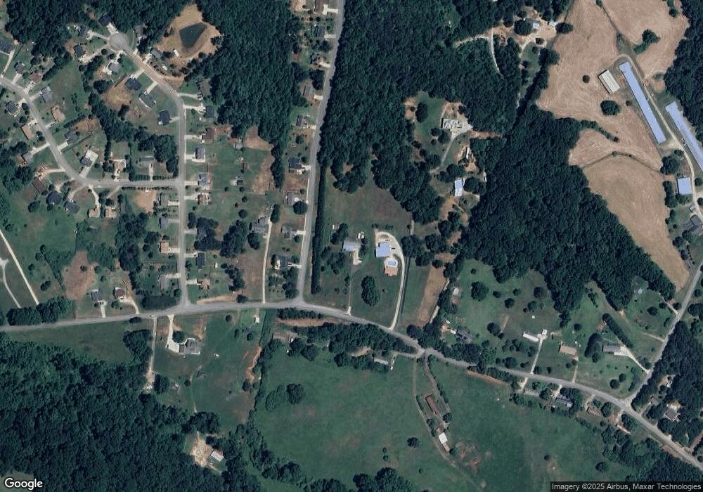
Map
Nearby Homes
- 3358 Pennington Point Dr
- 3531 Pennington Trail Unit 2
- 3300 Athens Hwy
- 3494 Silver Wood Walk
- 3738 Harmony Church Rd
- 3520 Silver Mist Cir
- 2942 Salinger Way
- 2804 Dorsey Peek Rd
- 3986 Pinedale Ln
- 4239 Mangum Mill Rd
- 3425 One Horse Ln
- 2811 Athens Hwy
- 4506 Turning Leaf Dr
- 2967 Maverick Trail
- 2915 Mustang Dr
- 4781 Turning Leaf Dr
- 4073 Twin Springs Rd
- 3484 Baker Rd
- 3188 Baker Rd
- 4390 Campbell Rd
- 3313 Old Oak Ridge
- 3305 Old Oak Ridge
- 3321 Old Oak Ridge
- 3377 Bob Bryant Rd
- 3329 Old Oak Ridge
- 3384 Bob Bryant Rd
- 3310 Pennington Point Dr Unit 1
- 3306 Pennington Point Dr Unit 1
- 3337 Old Oak Ridge
- 3302 Pennington Point Dr Unit 1
- 3427 Bob Bryant Rd
- 3322 Pennington Point Dr Unit 1
- 3316 Pennington Point Dr Unit 1
- 3405 Bob Bryant Rd
- 3345 Old Oak Ridge
- 3326 Pennington Point Dr
- 3330 Pennington Point Dr
- 3426 Bob Bryant Rd
- 3309 Pennington Point Dr Unit 1
- 3313 Pennington Point Dr Unit 1