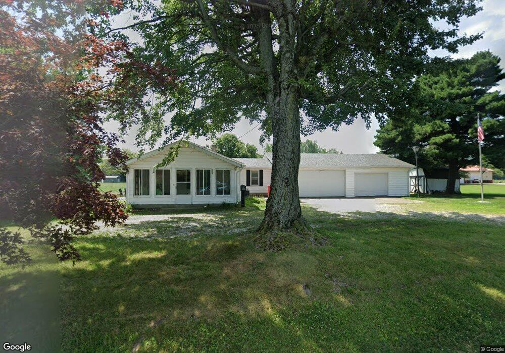
3391 E 300 N Franklin, IN 46131
Estimated Value: $257,257 - $392,000
3
Beds
1
Bath
1,415
Sq Ft
$211/Sq Ft
Est. Value
About This Home
This home is located at 3391 E 300 N, Franklin, IN 46131 and is currently estimated at $298,814, approximately $211 per square foot. 3391 E 300 N is a home located in Johnson County with nearby schools including Needham Elementary School, Franklin Community Middle School, and Custer Baker Intermediate School.
Ownership History
Date
Name
Owned For
Owner Type
Purchase Details
Closed on
Nov 16, 2020
Sold by
Foster Timothy B
Bought by
Foster Savannah Lyn
Current Estimated Value
Home Financials for this Owner
Home Financials are based on the most recent Mortgage that was taken out on this home.
Original Mortgage
$64,400
Outstanding Balance
$57,307
Interest Rate
2.8%
Mortgage Type
New Conventional
Estimated Equity
$226,528
Purchase Details
Closed on
Jun 14, 2006
Sold by
Foster Matilda E and Foster Timothy B
Bought by
Foster Timothy B and Foster Thomas E
Create a Home Valuation Report for This Property
The Home Valuation Report is an in-depth analysis detailing your home's value as well as a comparison with similar homes in the area
Home Values in the Area
Average Home Value in this Area
Purchase History
| Date | Buyer | Sale Price | Title Company |
|---|---|---|---|
| Foster Savannah Lyn | -- | None Available | |
| Foster Timothy B | -- | None Available |
Source: Public Records
Mortgage History
| Date | Status | Borrower | Loan Amount |
|---|---|---|---|
| Open | Foster Savannah Lyn | $64,400 |
Source: Public Records
Tax History
| Year | Tax Paid | Tax Assessment Tax Assessment Total Assessment is a certain percentage of the fair market value that is determined by local assessors to be the total taxable value of land and additions on the property. | Land | Improvement |
|---|---|---|---|---|
| 2025 | $1,578 | $215,900 | $34,500 | $181,400 |
| 2024 | $1,578 | $180,900 | $34,500 | $146,400 |
| 2023 | $1,490 | $174,300 | $34,500 | $139,800 |
| 2022 | $1,712 | $174,300 | $34,500 | $139,800 |
| 2021 | $663 | $94,900 | $29,800 | $65,100 |
| 2020 | $679 | $91,200 | $26,100 | $65,100 |
| 2019 | $1,959 | $91,200 | $26,100 | $65,100 |
| 2018 | $1,556 | $76,800 | $26,100 | $50,700 |
| 2017 | $1,546 | $76,800 | $26,100 | $50,700 |
| 2016 | $1,537 | $76,800 | $26,100 | $50,700 |
| 2014 | $1,536 | $76,800 | $26,100 | $50,700 |
| 2013 | $1,536 | $97,700 | $26,100 | $71,600 |
Source: Public Records
Map
Nearby Homes
- Cortland Plan at Winterfield
- Johnstown Plan at Winterfield
- Henley Plan at Winterfield
- Dayton Plan at Winterfield
- Bellamy Plan at Winterfield
- Harmony Plan at Winterfield
- Chatham Plan at Winterfield
- Stamford Plan at Winterfield
- 1111 Winterfield Blvd
- 1117 Winterfield Blvd
- 1099 Winterfield Blvd
- 2731 Muirfield St
- 1152 Blackstone Ave
- 1190 Blackstone Ave
- 1166 Blackstone Ave
- 2707 Muirfield St
- 2509 Cedarmill Dr
- 2546 Bridlewood Dr
- 2478 Cedarmill Dr
- 2458 Bristol Dr
Your Personal Tour Guide
Ask me questions while you tour the home.