33913 Shamrock Ln Scappoose, OR 97056
Estimated Value: $499,123 - $628,000
3
Beds
2
Baths
1,656
Sq Ft
$338/Sq Ft
Est. Value
About This Home
This home is located at 33913 Shamrock Ln, Scappoose, OR 97056 and is currently estimated at $560,031, approximately $338 per square foot. 33913 Shamrock Ln is a home located in Columbia County with nearby schools including Scappoose High School, South Columbia Family School, and Scappoose Adventist School.
Ownership History
Date
Name
Owned For
Owner Type
Purchase Details
Closed on
Jul 8, 2016
Sold by
Parkhill Mary A
Bought by
Parkhill Mary A and Mary A Parkhill Trust
Current Estimated Value
Purchase Details
Closed on
Jul 6, 2016
Sold by
Larson Leoanard W and Larson Mary S
Bought by
Parkhill Mary A
Purchase Details
Closed on
Feb 5, 2009
Sold by
Konkadson Mary S and Larson Mary S
Bought by
Larson Leonard W and Larson Mary S
Purchase Details
Closed on
Dec 28, 2006
Sold by
Konzadson Kent E
Bought by
Konradson Mary S
Create a Home Valuation Report for This Property
The Home Valuation Report is an in-depth analysis detailing your home's value as well as a comparison with similar homes in the area
Home Values in the Area
Average Home Value in this Area
Purchase History
| Date | Buyer | Sale Price | Title Company |
|---|---|---|---|
| Parkhill Mary A | -- | None Available | |
| Parkhill Mary A | $329,900 | Ticor Title Company Of Or | |
| Larson Leonard W | -- | None Available | |
| Konradson Mary S | -- | None Available |
Source: Public Records
Tax History Compared to Growth
Tax History
| Year | Tax Paid | Tax Assessment Tax Assessment Total Assessment is a certain percentage of the fair market value that is determined by local assessors to be the total taxable value of land and additions on the property. | Land | Improvement |
|---|---|---|---|---|
| 2025 | $4,069 | $307,370 | $132,340 | $175,030 |
| 2024 | $3,958 | $298,420 | $128,490 | $169,930 |
| 2023 | $3,940 | $289,730 | $119,710 | $170,020 |
| 2022 | $3,762 | $281,300 | $116,220 | $165,080 |
| 2021 | $3,654 | $273,110 | $122,730 | $150,380 |
| 2020 | $3,351 | $265,160 | $113,500 | $151,660 |
| 2019 | $3,266 | $257,440 | $109,220 | $148,220 |
| 2018 | $3,177 | $249,950 | $127,880 | $122,070 |
| 2017 | $3,130 | $242,670 | $124,150 | $118,520 |
| 2016 | $3,103 | $235,610 | $120,530 | $115,080 |
| 2015 | $2,626 | $228,750 | $105,590 | $123,160 |
| 2014 | $2,486 | $222,090 | $102,780 | $119,310 |
Source: Public Records
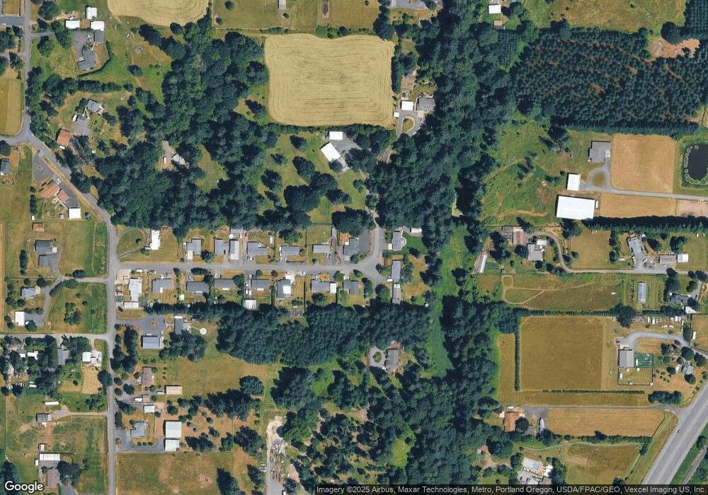
Map
Nearby Homes
- 54886 Fullerton Rd
- 55051 Fullerton Rd
- 33812 Berg Rd
- 34492 Berg Rd Unit 11
- 34418 Berg Rd
- 0 Oester Rd
- 32650 Oester Rd
- 32991 Rodney St
- 0 Parcel 1 Peter St St Unit 174014860
- 0 Peter St Unit 1S 480042051
- 34603 Church Rd
- 0 Wight Dr Unit Lot 3 675106164
- 0 Viewcrest Dr Unit 24577481
- 0 Bennett Rd
- 55496 Pioneer Rd
- 32005 Scappoose Vernonia Hwy
- 57827 S Bachelor Flat Rd
- 0 Reid Rd
- 53194 Columbia River Hwy
- 33062 Bellcrest Rd
- 33893 Shamrock Ln
- 33912 Shamrock Ln
- 55560 Shamrock Way
- 55580 Shamrock Way
- 33892 Shamrock Ln
- 33871 Shamrock Ln
- 55550 Shamrock Way
- 33872 Shamrock Ln
- 55597 Shamrock Way
- 33847 Shamrock Ln
- 33846 Shamrock Ln
- 55540 Shamrock Way
- 33823 Shamrock Ln
- 33822 Shamrock Ln
- 55590 Shamrock Way
- 33801 Shamrock Ln
- 33802 Shamrock Ln
- 34073 Pollard Dr
- 33731 Tarbell Rd
- 33749 Tarbell Rd