33916 State Highway 4 Saint James, MN 56081
Estimated Value: $319,000 - $336,591
4
Beds
2
Baths
440
Sq Ft
$744/Sq Ft
Est. Value
About This Home
This home is located at 33916 State Highway 4, Saint James, MN 56081 and is currently estimated at $327,197, approximately $743 per square foot. 33916 State Highway 4 is a home located in Watonwan County with nearby schools including Armstrong School, Northside Elementary School, and St. James High School.
Ownership History
Date
Name
Owned For
Owner Type
Purchase Details
Closed on
Apr 17, 2025
Sold by
Kranz Connor and Kranz Amy
Bought by
Miller Grant and Keller Debra
Current Estimated Value
Home Financials for this Owner
Home Financials are based on the most recent Mortgage that was taken out on this home.
Original Mortgage
$330,896
Outstanding Balance
$329,422
Interest Rate
6.63%
Mortgage Type
New Conventional
Estimated Equity
-$2,225
Purchase Details
Closed on
Apr 1, 2022
Sold by
Haynes Myron and Haynes Katherine
Bought by
Kranz Connor and Denn Amy
Home Financials for this Owner
Home Financials are based on the most recent Mortgage that was taken out on this home.
Original Mortgage
$149,500
Interest Rate
3.92%
Mortgage Type
New Conventional
Purchase Details
Closed on
Feb 20, 2015
Sold by
Collins Alyce Alyce
Bought by
Torkelson Paul
Home Financials for this Owner
Home Financials are based on the most recent Mortgage that was taken out on this home.
Original Mortgage
$271,100
Interest Rate
3.72%
Create a Home Valuation Report for This Property
The Home Valuation Report is an in-depth analysis detailing your home's value as well as a comparison with similar homes in the area
Home Values in the Area
Average Home Value in this Area
Purchase History
| Date | Buyer | Sale Price | Title Company |
|---|---|---|---|
| Miller Grant | $337,000 | -- | |
| Kranz Connor | $150,000 | -- | |
| Torkelson Paul | $271,100 | -- |
Source: Public Records
Mortgage History
| Date | Status | Borrower | Loan Amount |
|---|---|---|---|
| Open | Miller Grant | $330,896 | |
| Previous Owner | Kranz Connor | $149,500 | |
| Previous Owner | Torkelson Paul | $271,100 |
Source: Public Records
Tax History Compared to Growth
Tax History
| Year | Tax Paid | Tax Assessment Tax Assessment Total Assessment is a certain percentage of the fair market value that is determined by local assessors to be the total taxable value of land and additions on the property. | Land | Improvement |
|---|---|---|---|---|
| 2025 | $2,970 | $256,400 | $78,700 | $177,700 |
| 2024 | $2,826 | $229,400 | $78,700 | $150,700 |
| 2023 | $2,742 | $209,300 | $78,700 | $130,600 |
| 2022 | $1,120 | $166,800 | $78,700 | $88,100 |
| 2021 | $1,090 | $120,700 | $47,700 | $73,000 |
| 2020 | $1,072 | $121,300 | $47,700 | $73,600 |
| 2019 | $1,142 | $121,600 | $47,700 | $73,900 |
| 2018 | $1,094 | $121,600 | $47,700 | $73,900 |
| 2016 | $638 | $117,800 | $47,700 | $70,100 |
| 2014 | -- | $417,800 | $347,900 | $69,900 |
Source: Public Records
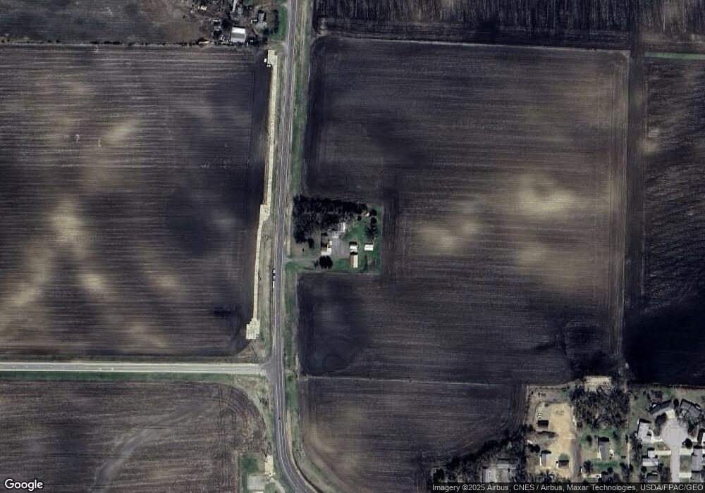
Map
Nearby Homes
- 1013 Westwood Dr
- 1106 4th Street Ct N
- 1010 5th St N
- 1145 8th St N
- 1142 8th St N
- 815 Armstrong Blvd N
- 1140 9th St N
- 718 6th St N
- 521 4th St N
- 1133 10th St N
- 922 10th Ave N
- 920 10th Ave N
- 900 8th Ave N
- 1014 8th Ave N
- 913 Weston Ave
- 0000 Minnesota 4
- 601 Levee Blvd
- 308 11th St N
- 1007 2nd Ave S
- 207 7th Ave S
- 33916 State Highway 4
- 33751 State Highway 4
- 113 11th Ave N
- 115 11th Ave N
- 34143 County Road 55
- 34143 34143 County Rd 55
- 1015 Westwood Dr
- 1011 Westwood Dr
- 1017 Westwood Dr
- 221 11th Ave N
- 1008 Westwood Dr
- 1009 Westwood Dr
- 120 11th Ave N
- 1007 Westwood Dr
- 1106 3rd St N
- 1006 1006 Westwood Dr
- 1006 Westwood Dr
- 1014 County Road 55
- 1005 Westwood Dr
- 1109 4th Street Ct N