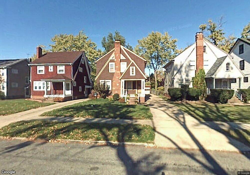
3395 Lownesdale Rd Cleveland, OH 44112
Monticello-Noble NeighborhoodEstimated Value: $134,987 - $144,000
3
Beds
2
Baths
1,391
Sq Ft
$100/Sq Ft
Est. Value
About This Home
This home is located at 3395 Lownesdale Rd, Cleveland, OH 44112 and is currently estimated at $139,497, approximately $100 per square foot. 3395 Lownesdale Rd is a home located in Cuyahoga County with nearby schools including Shaw High School, Apex Academy, and Yeshiva Derech Hatorah.
Ownership History
Date
Name
Owned For
Owner Type
Purchase Details
Closed on
May 31, 1984
Sold by
Rosenberg Edward M
Bought by
Davis Joseph L
Current Estimated Value
Purchase Details
Closed on
May 12, 1978
Sold by
Schuller Charles P
Bought by
Rosenberg Edward M
Purchase Details
Closed on
Apr 1, 1976
Sold by
Kondik Linda J and Kondik Thomas A
Bought by
Schuller Charles P
Purchase Details
Closed on
Jan 1, 1975
Bought by
Kondik Linda J and Kondik Thomas A
Create a Home Valuation Report for This Property
The Home Valuation Report is an in-depth analysis detailing your home's value as well as a comparison with similar homes in the area
Home Values in the Area
Average Home Value in this Area
Purchase History
| Date | Buyer | Sale Price | Title Company |
|---|---|---|---|
| Davis Joseph L | $49,900 | -- | |
| Rosenberg Edward M | $36,100 | -- | |
| Schuller Charles P | $26,500 | -- | |
| Kondik Linda J | -- | -- |
Source: Public Records
Tax History Compared to Growth
Tax History
| Year | Tax Paid | Tax Assessment Tax Assessment Total Assessment is a certain percentage of the fair market value that is determined by local assessors to be the total taxable value of land and additions on the property. | Land | Improvement |
|---|---|---|---|---|
| 2024 | $2,003 | $42,070 | $7,770 | $34,300 |
| 2023 | $1,334 | $24,370 | $3,610 | $20,760 |
| 2022 | $1,364 | $24,360 | $3,605 | $20,755 |
| 2021 | $1,352 | $24,360 | $3,610 | $20,760 |
| 2020 | $1,247 | $21,950 | $3,260 | $18,690 |
| 2019 | $1,306 | $62,700 | $9,300 | $53,400 |
| 2018 | $1,380 | $21,950 | $3,260 | $18,690 |
| 2017 | $1,454 | $24,510 | $4,310 | $20,200 |
| 2016 | $1,463 | $24,510 | $4,310 | $20,200 |
| 2015 | $1,756 | $24,510 | $4,310 | $20,200 |
| 2014 | $1,756 | $29,510 | $5,180 | $24,330 |
Source: Public Records
Map
Nearby Homes
- 1061 Greyton Rd
- 3411 Hartwood Rd
- 3451 Hartwood Rd
- 986 Woodview Rd
- 2257 N Taylor Rd
- 991 Helmsdale Rd
- 1005 Woodview Rd
- 1064 Elbon Rd
- 1068 Elbon Rd
- 2195 N Taylor Rd
- 1073 Hereford Rd
- 939 Helmsdale Rd
- 916 Whitby Rd
- 2188 N Taylor Rd
- 1058 Pembrook Rd
- 1111 Hereford Rd
- 907 Nela View Rd
- 990 Pembrook Rd
- 955 Dresden Rd
- 2145 N Taylor Rd
- 3399 Lownesdale Rd
- 3391 Lownesdale Rd
- 3407 Lownesdale Rd
- 3387 Lownesdale Rd
- 3409 Lownesdale Rd
- 3394 Spangler Rd
- 3398 Spangler Rd
- 3390 Spangler Rd
- 3402 Spangler Rd
- 3386 Spangler Rd
- 3377 Lownesdale Rd
- 3411 Lownesdale Rd
- 3406 Spangler Rd
- 3382 Spangler Rd
- 3394 Lownesdale Rd
- 3390 Lownesdale Rd
- 3398 Lownesdale Rd
- 3386 Lownesdale Rd
- 3386 Lowensdale Ave
- 3402 Lownesdale Rd