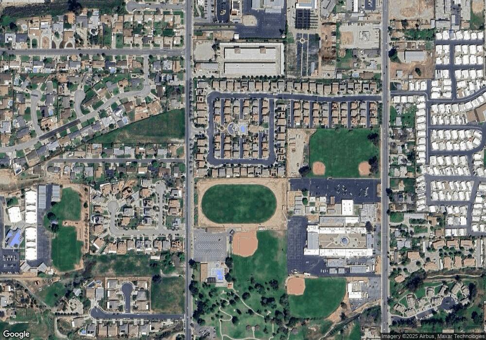
33955 Telstar Rd Unit 69 Yucaipa, CA 92399
Estimated Value: $550,477 - $575,000
3
Beds
4
Baths
2,899
Sq Ft
$193/Sq Ft
Est. Value
About This Home
This home is located at 33955 Telstar Rd Unit 69, Yucaipa, CA 92399 and is currently estimated at $559,119, approximately $192 per square foot. 33955 Telstar Rd Unit 69 is a home located in San Bernardino County with nearby schools including Chapman Heights Elementary, Park View Middle School, and Yucaipa High School.
Ownership History
Date
Name
Owned For
Owner Type
Purchase Details
Closed on
Dec 17, 2009
Sold by
Kb Home Greater Los Angeles Inc
Bought by
Locke Robert E
Current Estimated Value
Home Financials for this Owner
Home Financials are based on the most recent Mortgage that was taken out on this home.
Original Mortgage
$223,860
Outstanding Balance
$145,864
Interest Rate
4.88%
Mortgage Type
FHA
Estimated Equity
$413,255
Purchase Details
Closed on
Dec 15, 2009
Sold by
Kb Home Greater Los Angeles Inc
Bought by
Perry Donald R and Perry Jennifer
Home Financials for this Owner
Home Financials are based on the most recent Mortgage that was taken out on this home.
Original Mortgage
$223,860
Outstanding Balance
$145,864
Interest Rate
4.88%
Mortgage Type
FHA
Estimated Equity
$413,255
Create a Home Valuation Report for This Property
The Home Valuation Report is an in-depth analysis detailing your home's value as well as a comparison with similar homes in the area
Home Values in the Area
Average Home Value in this Area
Purchase History
| Date | Buyer | Sale Price | Title Company |
|---|---|---|---|
| Locke Robert E | $228,000 | First American Title Hsd | |
| Perry Donald R | $238,000 | First American Title Hsd |
Source: Public Records
Mortgage History
| Date | Status | Borrower | Loan Amount |
|---|---|---|---|
| Open | Locke Robert E | $223,860 | |
| Closed | Perry Donald R | $233,679 |
Source: Public Records
Tax History Compared to Growth
Tax History
| Year | Tax Paid | Tax Assessment Tax Assessment Total Assessment is a certain percentage of the fair market value that is determined by local assessors to be the total taxable value of land and additions on the property. | Land | Improvement |
|---|---|---|---|---|
| 2025 | $6,030 | $307,206 | $61,949 | $245,257 |
| 2024 | $6,030 | $301,182 | $60,734 | $240,448 |
| 2023 | $5,924 | $295,276 | $59,543 | $235,733 |
| 2022 | $5,862 | $289,486 | $58,375 | $231,111 |
| 2021 | $5,796 | $283,809 | $57,230 | $226,579 |
| 2020 | $5,721 | $280,899 | $56,643 | $224,256 |
| 2019 | $5,601 | $275,391 | $55,532 | $219,859 |
| 2018 | $5,290 | $269,991 | $54,443 | $215,548 |
| 2017 | $5,218 | $264,697 | $53,375 | $211,322 |
| 2016 | $5,176 | $259,506 | $52,328 | $207,178 |
| 2015 | $5,143 | $255,608 | $51,542 | $204,066 |
| 2014 | $5,080 | $250,601 | $50,532 | $200,069 |
Source: Public Records
Map
Nearby Homes
- 34075 Lily Rd Unit 37
- 34083 Lily Rd Unit 33
- 36551 Avenue E
- 12448 6th St
- 12220 5th St Unit 193
- 12220 5th St Unit 146
- 34015 Pinehurst Dr
- 12278 5th St
- 12422 Stardell Ln
- 12510 8th St
- 34177 Pinehurst Dr
- 33540 Washington Dr
- 34107 Lake Breeze Dr
- 92399 Yucaipa Blvd
- 33825 Cansler Way
- 11811 Cramer Rd
- 12813 7th St Unit 26
- 34184 Fairview Dr
- 12798 6th St
- 34350 Cedar Ave
- 33961 Telstar Rd
- 33947 Telstar Rd Unit 70
- 33969 Telstar Rd Unit 67
- 33969 Telstar Rd
- 33941 Telstar Rd
- 33954 Telstar Rd Unit 104
- 33942 Telstar Rd Unit 102
- 33942 Telstar Rd
- 33962 Telstar Rd Unit 107
- 33975 Telstar Rd Unit 66
- 33931 Telstar Rd Unit 72
- 33934 Telstar Rd Unit 100
- 33952 Telstar Rd
- 33940 Telstar Rd Unit 101
- 33964 Telstar Rd
- 33972 Telstar Rd Unit 110
- 33921 Telstar Rd Unit 73
- 33036 Telstar Rd
- 33987 Telstar Rd
- 33936 Telstar Rd Unit 99
