33975 Telstar Rd Unit 66 Yucaipa, CA 92399
Estimated Value: $531,668 - $552,000
4
Beds
3
Baths
2,379
Sq Ft
$228/Sq Ft
Est. Value
About This Home
This home is located at 33975 Telstar Rd Unit 66, Yucaipa, CA 92399 and is currently estimated at $541,917, approximately $227 per square foot. 33975 Telstar Rd Unit 66 is a home located in San Bernardino County with nearby schools including Chapman Heights Elementary, Park View Middle School, and Yucaipa High School.
Ownership History
Date
Name
Owned For
Owner Type
Purchase Details
Closed on
Nov 6, 2009
Sold by
Kb Home Greater Los Angeles Inc
Bought by
Rodriguez David Michael
Current Estimated Value
Home Financials for this Owner
Home Financials are based on the most recent Mortgage that was taken out on this home.
Original Mortgage
$232,349
Outstanding Balance
$150,390
Interest Rate
4.83%
Mortgage Type
VA
Estimated Equity
$391,527
Create a Home Valuation Report for This Property
The Home Valuation Report is an in-depth analysis detailing your home's value as well as a comparison with similar homes in the area
Home Values in the Area
Average Home Value in this Area
Purchase History
| Date | Buyer | Sale Price | Title Company |
|---|---|---|---|
| Rodriguez David Michael | $225,000 | First American Title Hsd |
Source: Public Records
Mortgage History
| Date | Status | Borrower | Loan Amount |
|---|---|---|---|
| Open | Rodriguez David Michael | $232,349 |
Source: Public Records
Tax History
| Year | Tax Paid | Tax Assessment Tax Assessment Total Assessment is a certain percentage of the fair market value that is determined by local assessors to be the total taxable value of land and additions on the property. | Land | Improvement |
|---|---|---|---|---|
| 2025 | $5,854 | $290,343 | $70,902 | $219,441 |
| 2024 | $5,742 | $284,650 | $69,512 | $215,138 |
| 2023 | $5,637 | $279,069 | $68,149 | $210,920 |
| 2022 | $5,577 | $273,597 | $66,813 | $206,784 |
| 2021 | $5,514 | $268,232 | $65,503 | $202,729 |
| 2020 | $5,535 | $265,481 | $64,831 | $200,650 |
| 2019 | $5,423 | $260,276 | $63,560 | $196,716 |
| 2018 | $5,015 | $255,173 | $62,314 | $192,859 |
| 2017 | $4,947 | $250,169 | $61,092 | $189,077 |
| 2016 | $4,907 | $245,264 | $59,894 | $185,370 |
| 2015 | $4,876 | $241,580 | $58,994 | $182,586 |
| 2014 | $4,817 | $236,847 | $57,838 | $179,009 |
Source: Public Records
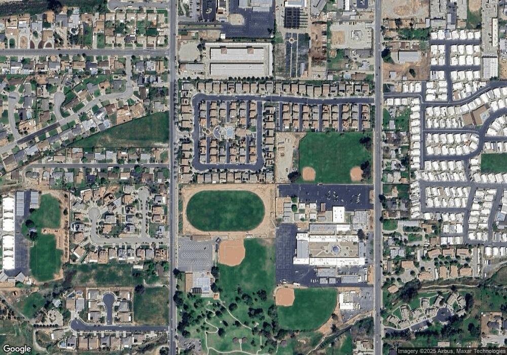
Map
Nearby Homes
- 36551 Avenue E
- 12449 6th St
- 33969 Avenue E
- 12220 5th St Unit 193
- 12220 5th St Unit 195
- 12278 5th St
- 34212 Avenue E
- 12591 7th St
- 33962 Clark Ln
- 33675 Northview Dr
- 92399 Yucaipa Blvd
- 11811 Cramer Rd
- 34350 Cedar Ave
- 33467 Washington Dr
- 12367 4th St Unit 71
- 12367 4th St Unit 66
- 12367 4th St
- 34543 Avenue C
- 33379 Wallace Way
- 33814 Augusta Cir
- 33969 Telstar Rd Unit 67
- 33969 Telstar Rd
- 33987 Telstar Rd
- 33961 Telstar Rd
- 33997 Telstar Rd
- 33972 Telstar Rd Unit 110
- 33955 Telstar Rd Unit 69
- 33962 Telstar Rd Unit 107
- 12268 Tulip Ln Unit 63
- 12268 Tulip Ln
- 33954 Telstar Rd Unit 104
- 12264 Tulip Ln Unit 62
- 12261 Tulip Ln Unit 109
- 33964 Telstar Rd
- 33947 Telstar Rd Unit 70
- 33952 Telstar Rd
- 12260 Tulip Ln
- 12257 Tulip Ln Unit 108
- 33942 Telstar Rd Unit 102
- 33942 Telstar Rd