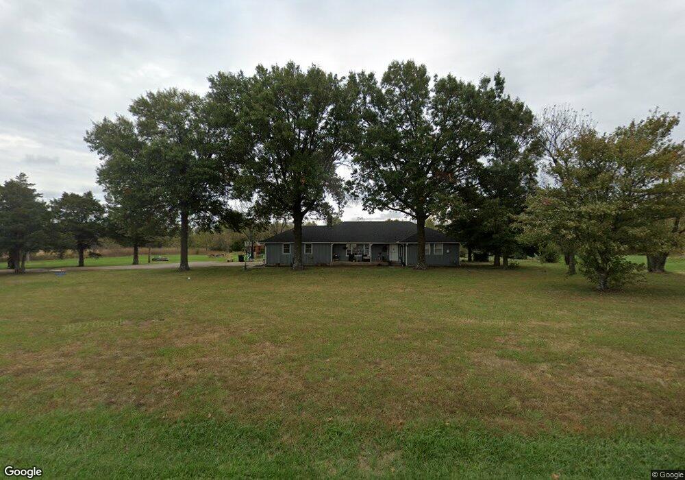
3398 Peter Pan Rd Independence, KS 67301
Estimated Value: $158,000 - $226,000
2
Beds
2
Baths
1,446
Sq Ft
$128/Sq Ft
Est. Value
About This Home
This home is located at 3398 Peter Pan Rd, Independence, KS 67301 and is currently estimated at $185,330, approximately $128 per square foot. 3398 Peter Pan Rd is a home located in Montgomery County with nearby schools including Eisenhower Elementary School, Independence Middle School, and Independence Senior High School.
Ownership History
Date
Name
Owned For
Owner Type
Purchase Details
Closed on
May 11, 2015
Sold by
Daniel A Daniel A
Bought by
Bromley Matthew R and Nutt Cali P
Current Estimated Value
Home Financials for this Owner
Home Financials are based on the most recent Mortgage that was taken out on this home.
Original Mortgage
$74,700
Outstanding Balance
$57,380
Interest Rate
3.68%
Mortgage Type
New Conventional
Estimated Equity
$127,950
Purchase Details
Closed on
Jul 28, 2009
Sold by
Snyder Kevin L
Bought by
Wilkinson Daniel A
Home Financials for this Owner
Home Financials are based on the most recent Mortgage that was taken out on this home.
Original Mortgage
$89,250
Interest Rate
5.44%
Mortgage Type
Purchase Money Mortgage
Create a Home Valuation Report for This Property
The Home Valuation Report is an in-depth analysis detailing your home's value as well as a comparison with similar homes in the area
Home Values in the Area
Average Home Value in this Area
Purchase History
| Date | Buyer | Sale Price | Title Company |
|---|---|---|---|
| Bromley Matthew R | -- | Security 1St Title | |
| Wilkinson Daniel A | -- | -- |
Source: Public Records
Mortgage History
| Date | Status | Borrower | Loan Amount |
|---|---|---|---|
| Open | Bromley Matthew R | $74,700 | |
| Closed | Wilkinson Daniel A | $89,250 |
Source: Public Records
Tax History Compared to Growth
Tax History
| Year | Tax Paid | Tax Assessment Tax Assessment Total Assessment is a certain percentage of the fair market value that is determined by local assessors to be the total taxable value of land and additions on the property. | Land | Improvement |
|---|---|---|---|---|
| 2025 | $19 | $16,062 | $2,160 | $13,902 |
| 2024 | $19 | $15,153 | $2,160 | $12,993 |
| 2023 | $1,760 | $14,295 | $2,160 | $12,135 |
| 2022 | $1,760 | $12,650 | $2,102 | $10,548 |
| 2021 | $4,649 | $11,937 | $3,074 | $8,863 |
| 2020 | $4,649 | $11,937 | $2,880 | $9,057 |
| 2019 | $1,867 | $12,657 | $1,503 | $11,154 |
| 2018 | $1,879 | $12,846 | $2,496 | $10,350 |
| 2017 | $1,366 | $9,649 | $2,496 | $7,153 |
| 2016 | $1,357 | $9,546 | $2,496 | $7,050 |
| 2015 | -- | $10,211 | $1,829 | $8,382 |
| 2014 | -- | $10,121 | $1,829 | $8,292 |
Source: Public Records
Map
Nearby Homes
- 0000 5000 Rd
- 3112 Crown Dr
- 2924 Crown Dr
- 401 Taylor Rd
- 2540 Shady Ln
- 2200 Russell Rd
- 3921 Cr 4825 N A
- 2201 N 10th St
- 3720 County Road 4475 N A
- 1009 W Oak St
- 1020 N 19th Place
- 937 Circle Dr
- 00000 N 13th St
- 3130 N 13th St
- 619 W Oak St
- 1601 N Pennsylvania Ave
- 1328 N 8th St
- 3323 Highway 160
- 3323 Hwy 160
- 0000 N 8th