33B River Rd Unit B Allenstown, NH 03275
Estimated Value: $464,000 - $550,560
3
Beds
3
Baths
1,400
Sq Ft
$364/Sq Ft
Est. Value
About This Home
This home is located at 33B River Rd Unit B, Allenstown, NH 03275 and is currently estimated at $509,390, approximately $363 per square foot. 33B River Rd Unit B is a home located in Merrimack County with nearby schools including Allenstown Elementary School, Armand R. Dupont School, and Tender Years Child Care & Learning Center.
Ownership History
Date
Name
Owned For
Owner Type
Purchase Details
Closed on
Jun 5, 2020
Sold by
Bowen Brittany L and Picard Jonathan E
Bought by
Picard Brittany L and Picard Jonathan E
Current Estimated Value
Home Financials for this Owner
Home Financials are based on the most recent Mortgage that was taken out on this home.
Original Mortgage
$232,630
Outstanding Balance
$161,148
Interest Rate
3.2%
Mortgage Type
New Conventional
Estimated Equity
$348,242
Purchase Details
Closed on
Jul 21, 2017
Sold by
Paul Jonathan
Bought by
Bowen Brittany L
Home Financials for this Owner
Home Financials are based on the most recent Mortgage that was taken out on this home.
Original Mortgage
$236,680
Interest Rate
3.89%
Mortgage Type
New Conventional
Purchase Details
Closed on
Apr 5, 2017
Sold by
Bourque Roger and Bourque Fhlmc
Bought by
Paul Jonathan
Create a Home Valuation Report for This Property
The Home Valuation Report is an in-depth analysis detailing your home's value as well as a comparison with similar homes in the area
Home Values in the Area
Average Home Value in this Area
Purchase History
| Date | Buyer | Sale Price | Title Company |
|---|---|---|---|
| Picard Brittany L | -- | None Available | |
| Bowen Brittany L | $244,000 | -- | |
| Paul Jonathan | $182,000 | -- |
Source: Public Records
Mortgage History
| Date | Status | Borrower | Loan Amount |
|---|---|---|---|
| Open | Picard Brittany L | $232,630 | |
| Previous Owner | Bowen Brittany L | $236,680 |
Source: Public Records
Tax History Compared to Growth
Tax History
| Year | Tax Paid | Tax Assessment Tax Assessment Total Assessment is a certain percentage of the fair market value that is determined by local assessors to be the total taxable value of land and additions on the property. | Land | Improvement |
|---|---|---|---|---|
| 2024 | $10,326 | $406,200 | $134,700 | $271,500 |
| 2023 | $8,611 | $406,200 | $134,700 | $271,500 |
| 2022 | $7,921 | $406,200 | $134,700 | $271,500 |
| 2021 | $7,491 | $237,800 | $89,800 | $148,000 |
| 2020 | $6,968 | $237,800 | $89,800 | $148,000 |
| 2019 | $7,396 | $237,800 | $89,800 | $148,000 |
| 2018 | $7,088 | $235,100 | $89,800 | $145,300 |
| 2017 | $7,549 | $235,100 | $89,800 | $145,300 |
| 2016 | $6,738 | $199,000 | $64,600 | $134,400 |
| 2015 | $6,533 | $199,000 | $64,600 | $134,400 |
| 2014 | $6,722 | $199,000 | $64,600 | $134,400 |
| 2013 | -- | $199,000 | $64,600 | $134,400 |
Source: Public Records
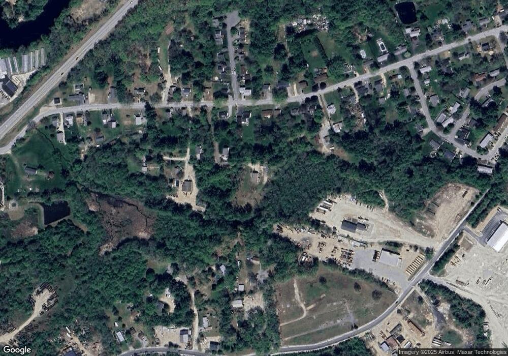
Map
Nearby Homes
- 19 Sullivan Dr
- 10 Lane Dr
- 2 Cheryl Dr
- 1 1/2 Bartlett St
- 422 Dawn Dr Unit 23
- 427 Dawn Dr Unit 15
- 15 Sullivan Dr
- 111 Glass St
- 12-14 Church St Unit 12,14
- 100 Main St Unit M10
- 100 Main St Unit 204
- 15 Main St
- 307 Dearborn Rd
- 4 Rodger Rd
- 7 Ferry St
- 233 Pembroke St
- 9 Pine Acres Rd
- 259 Pembroke St
- 1821 Hooksett Rd
- 10 Northview Terrace