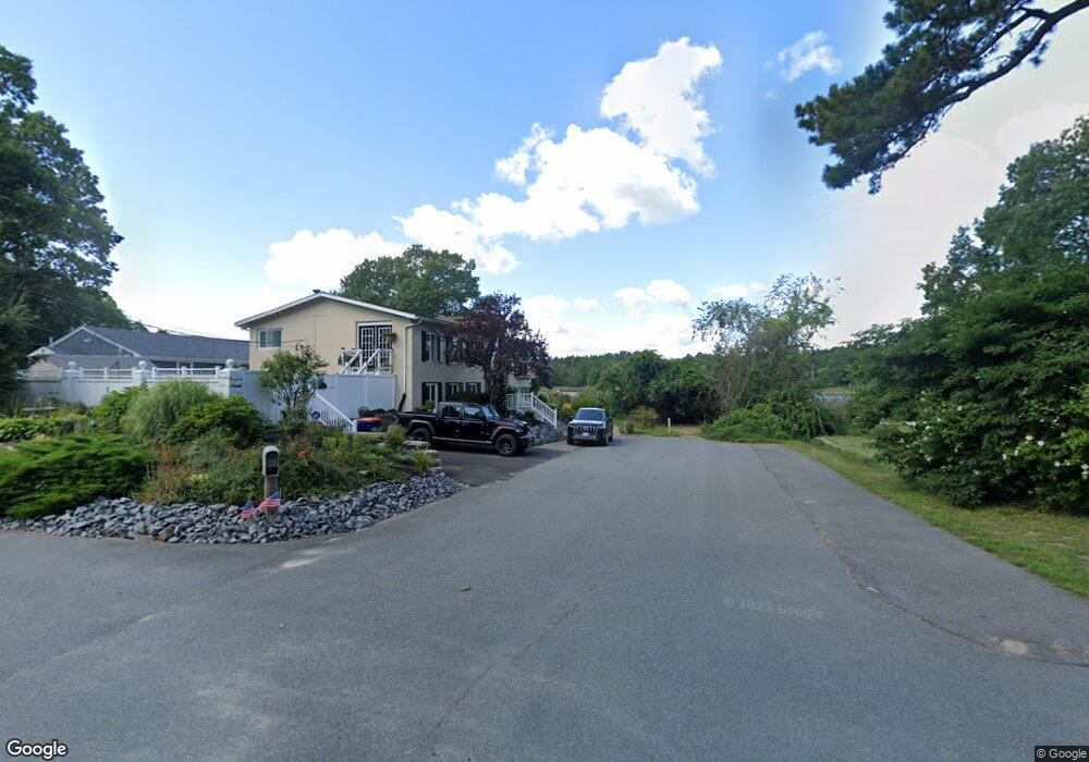
34 13th Ave Wareham, MA 02571
Weweantic NeighborhoodEstimated Value: $362,000 - $426,000
3
Beds
2
Baths
972
Sq Ft
$413/Sq Ft
Est. Value
About This Home
This home is located at 34 13th Ave, Wareham, MA 02571 and is currently estimated at $401,918, approximately $413 per square foot. 34 13th Ave is a home with nearby schools including Tabor Academy.
Ownership History
Date
Name
Owned For
Owner Type
Purchase Details
Closed on
Jul 25, 2025
Sold by
Figueroa Carlos R and Figueroa Melissa T
Bought by
Taveira Kelly
Current Estimated Value
Home Financials for this Owner
Home Financials are based on the most recent Mortgage that was taken out on this home.
Original Mortgage
$400,125
Outstanding Balance
$399,104
Interest Rate
6.84%
Mortgage Type
New Conventional
Estimated Equity
$2,814
Purchase Details
Closed on
Jul 17, 2023
Sold by
34 Thirteenth St Rt and Cabral
Bought by
Figueroa Carlos R and Figueroa Melissa T
Home Financials for this Owner
Home Financials are based on the most recent Mortgage that was taken out on this home.
Original Mortgage
$352,000
Interest Rate
6.79%
Mortgage Type
Purchase Money Mortgage
Purchase Details
Closed on
Nov 3, 2016
Sold by
Cabral Rudolph J and Cabral Linda B
Bought by
34 13Th Street Rt and Cabral
Purchase Details
Closed on
May 24, 1996
Sold by
Sylvester Frank J and Sylvester Betty J
Bought by
Cabral Rudolph J and Cabral Linda B
Home Financials for this Owner
Home Financials are based on the most recent Mortgage that was taken out on this home.
Original Mortgage
$28,000
Interest Rate
8.01%
Mortgage Type
Purchase Money Mortgage
Create a Home Valuation Report for This Property
The Home Valuation Report is an in-depth analysis detailing your home's value as well as a comparison with similar homes in the area
Home Values in the Area
Average Home Value in this Area
Purchase History
| Date | Buyer | Sale Price | Title Company |
|---|---|---|---|
| Taveira Kelly | $412,500 | -- | |
| Taveira Kelly | $412,500 | -- | |
| Figueroa Carlos R | $440,000 | None Available | |
| Figueroa Carlos R | $440,000 | None Available | |
| Figueroa Carlos R | $440,000 | None Available | |
| 34 13Th Street Rt | -- | -- | |
| 34 13Th Street Rt | -- | -- | |
| 34 13Th Street Rt | -- | -- | |
| Cabral Rudolph J | $35,000 | -- | |
| Cabral Rudolph J | $35,000 | -- |
Source: Public Records
Mortgage History
| Date | Status | Borrower | Loan Amount |
|---|---|---|---|
| Open | Taveira Kelly | $400,125 | |
| Closed | Taveira Kelly | $400,125 | |
| Previous Owner | Figueroa Carlos R | $352,000 | |
| Previous Owner | Cabral Rudolph J | $28,000 | |
| Previous Owner | Cabral Rudolph J | $28,000 |
Source: Public Records
Tax History
| Year | Tax Paid | Tax Assessment Tax Assessment Total Assessment is a certain percentage of the fair market value that is determined by local assessors to be the total taxable value of land and additions on the property. | Land | Improvement |
|---|---|---|---|---|
| 2025 | $3,649 | $332,300 | $100,300 | $232,000 |
| 2024 | $3,328 | $284,900 | $77,100 | $207,800 |
| 2023 | $3,139 | $255,200 | $70,100 | $185,100 |
| 2022 | $2,980 | $218,800 | $70,100 | $148,700 |
| 2021 | $2,968 | $212,000 | $70,100 | $141,900 |
| 2020 | $2,750 | $200,600 | $70,100 | $130,500 |
| 2019 | $2,487 | $183,400 | $53,900 | $129,500 |
| 2018 | $2,349 | $167,300 | $53,900 | $113,400 |
| 2017 | $1,991 | $142,400 | $53,900 | $88,500 |
| 2016 | $1,889 | $134,100 | $57,600 | $76,500 |
| 2015 | $1,600 | $116,800 | $57,600 | $59,200 |
| 2014 | $973 | $73,200 | $42,900 | $30,300 |
Source: Public Records
Map
Nearby Homes
- 15 14th Ave
- 9 Woodville Way
- 233 Marion Rd
- 14 Briarwood Dr
- 6 Bourne Terrace
- 12 Taft St
- 10 Longmeadow Dr
- 4 Roosevelt St
- 58 Shady Ln
- 19 Station St
- 0 Cromesett Rd (Off) Unit 73385395
- 17 Station St
- 6 Wildwood Ave
- 21 Bayview St
- 7 Maud Palmer Dr
- 20 Grant St
- 15 Broadmarsh Ave
- 43 Shore Ave
- 10 Barnes St
- 6 Allen Ave
Your Personal Tour Guide
Ask me questions while you tour the home.