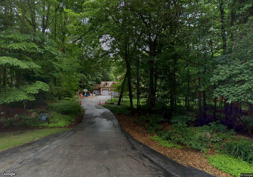
34 8th Ave Fruitport, MI 49415
Estimated Value: $522,000 - $604,000
3
Beds
3
Baths
2,280
Sq Ft
$247/Sq Ft
Est. Value
About This Home
This home is located at 34 8th Ave, Fruitport, MI 49415 and is currently estimated at $563,938, approximately $247 per square foot. 34 8th Ave is a home located in Muskegon County with nearby schools including Fruitport High School and Walden Green Montessori.
Ownership History
Date
Name
Owned For
Owner Type
Purchase Details
Closed on
Aug 30, 2019
Sold by
Rutkowski Ronald and Rutkowski Mary
Bought by
Sommerfeld Mark and Sommerfeld Jorie
Current Estimated Value
Home Financials for this Owner
Home Financials are based on the most recent Mortgage that was taken out on this home.
Original Mortgage
$408,500
Outstanding Balance
$358,545
Interest Rate
3.7%
Mortgage Type
New Conventional
Estimated Equity
$205,393
Purchase Details
Closed on
Jan 24, 2011
Sold by
Rutkowski Ronald and Rutkowski Mary
Bought by
Rutkowski Ronald and Rutkowski Mary
Home Financials for this Owner
Home Financials are based on the most recent Mortgage that was taken out on this home.
Original Mortgage
$135,000
Interest Rate
4.82%
Mortgage Type
New Conventional
Create a Home Valuation Report for This Property
The Home Valuation Report is an in-depth analysis detailing your home's value as well as a comparison with similar homes in the area
Home Values in the Area
Average Home Value in this Area
Purchase History
| Date | Buyer | Sale Price | Title Company |
|---|---|---|---|
| Sommerfeld Mark | $430,000 | Chicago Title Of Mi Inc | |
| Rutkowski Ronald | -- | Independent Title Svcs Inc |
Source: Public Records
Mortgage History
| Date | Status | Borrower | Loan Amount |
|---|---|---|---|
| Open | Sommerfeld Mark | $408,500 | |
| Previous Owner | Rutkowski Ronald | $135,000 |
Source: Public Records
Tax History
| Year | Tax Paid | Tax Assessment Tax Assessment Total Assessment is a certain percentage of the fair market value that is determined by local assessors to be the total taxable value of land and additions on the property. | Land | Improvement |
|---|---|---|---|---|
| 2025 | $6,740 | $242,200 | $0 | $0 |
| 2024 | $5,193 | $221,800 | $0 | $0 |
| 2023 | $4,959 | $200,600 | $0 | $0 |
| 2022 | $5,963 | $166,200 | $0 | $0 |
| 2021 | $5,792 | $156,400 | $0 | $0 |
| 2020 | $5,786 | $147,900 | $0 | $0 |
| 2019 | $3,680 | $124,400 | $0 | $0 |
| 2018 | $3,454 | $116,000 | $0 | $0 |
| 2017 | $3,383 | $112,200 | $0 | $0 |
| 2016 | $2,271 | $103,300 | $0 | $0 |
| 2015 | -- | $101,300 | $0 | $0 |
| 2014 | -- | $102,400 | $0 | $0 |
| 2013 | -- | $95,200 | $0 | $0 |
Source: Public Records
Map
Nearby Homes
- 414 Park St
- 148 Lake St
- 275 S 8th Ave
- 6691 E Point Dr
- 0 Apple Dr
- 0 S Brooks Rd Unit 1-A 25024373
- 0 S Brooks Rd Unit lot 2-B 25024342
- 18901 148th Ave
- 18895 148th Ave
- 18886 Greenwood Ct
- V/L Hickory St
- VL Farr Rd
- 4070 E Fruiport Rd
- 2331 Judson Rd
- 2539 Otter Place
- 2311 Judson Rd
- 6326 Sturgeon Run
- 3770 Farr Rd
- 6308 Sturgeon Run
- 6323 Sturgeon Run
Your Personal Tour Guide
Ask me questions while you tour the home.