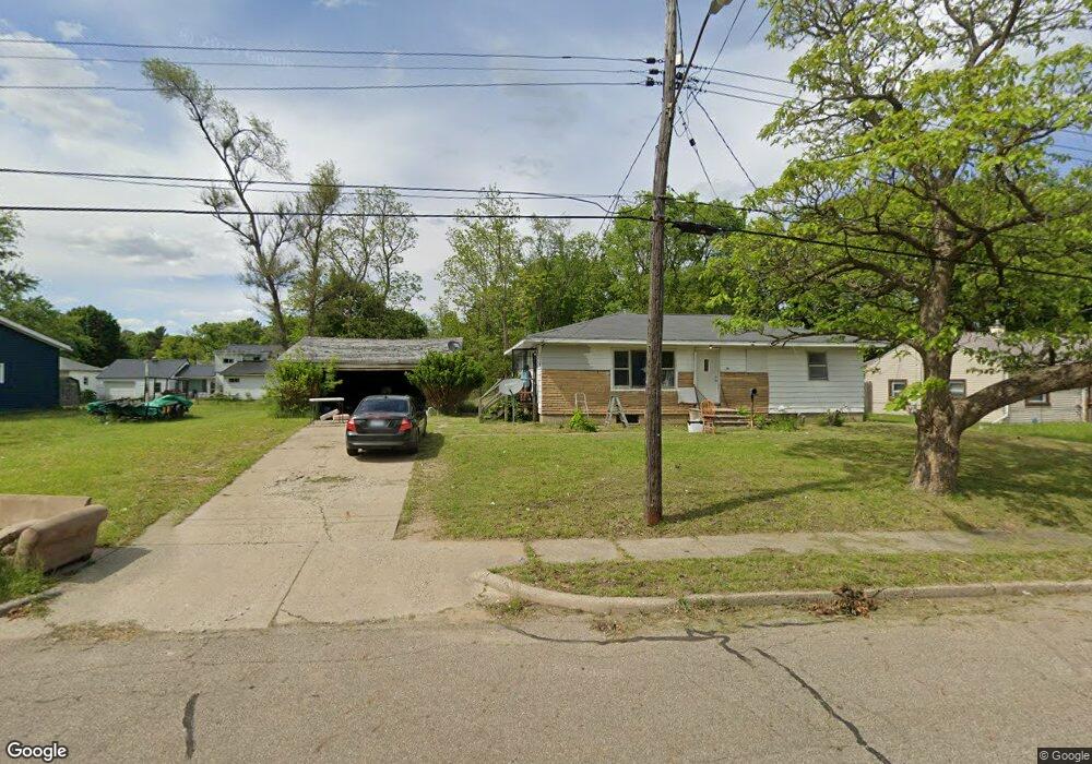
34 Baldwin Ave W Battle Creek, MI 49037
North Central NeighborhoodEstimated Value: $79,000 - $132,713
3
Beds
1
Bath
1,092
Sq Ft
$103/Sq Ft
Est. Value
About This Home
This home is located at 34 Baldwin Ave W, Battle Creek, MI 49037 and is currently estimated at $112,678, approximately $103 per square foot. 34 Baldwin Ave W is a home located in Calhoun County with nearby schools including Dudley School, Northwestern Middle School, and Battle Creek Central High School.
Ownership History
Date
Name
Owned For
Owner Type
Purchase Details
Closed on
Mar 4, 2022
Sold by
Christine Croom
Bought by
Johnson Holmes Kameil
Current Estimated Value
Purchase Details
Closed on
Mar 17, 2009
Sold by
Trott & Trott Pc
Bought by
Croom Christine
Purchase Details
Closed on
May 30, 2008
Sold by
Williams Pearlie M and Abn Amro Mortgage Group Inc
Bought by
Federal Home Loan Mortgage Corporation
Purchase Details
Closed on
Jul 17, 2003
Sold by
Simms Pearlie Mae and Simms Silas
Bought by
Williams Pearlie Mae
Purchase Details
Closed on
Jan 29, 1998
Bought by
Simms
Create a Home Valuation Report for This Property
The Home Valuation Report is an in-depth analysis detailing your home's value as well as a comparison with similar homes in the area
Home Values in the Area
Average Home Value in this Area
Purchase History
| Date | Buyer | Sale Price | Title Company |
|---|---|---|---|
| Johnson Holmes Kameil | -- | None Listed On Document | |
| Croom Christine | $7,500 | Warranty Title Llc | |
| Federal Home Loan Mortgage Corporation | $29,947 | None Available | |
| Williams Pearlie Mae | -- | -- | |
| Simms | -- | -- |
Source: Public Records
Tax History Compared to Growth
Tax History
| Year | Tax Paid | Tax Assessment Tax Assessment Total Assessment is a certain percentage of the fair market value that is determined by local assessors to be the total taxable value of land and additions on the property. | Land | Improvement |
|---|---|---|---|---|
| 2025 | -- | $38,500 | $0 | $0 |
| 2024 | $1,359 | $31,965 | $0 | $0 |
| 2023 | $1,504 | $27,201 | $0 | $0 |
| 2022 | $1,068 | $24,748 | $0 | $0 |
| 2021 | $1,429 | $22,940 | $0 | $0 |
| 2020 | $1,413 | $22,879 | $0 | $0 |
| 2019 | $1,342 | $21,308 | $0 | $0 |
| 2018 | $1,342 | $22,197 | $1,000 | $21,197 |
| 2017 | $1,307 | $22,689 | $0 | $0 |
| 2016 | $1,303 | $20,256 | $0 | $0 |
| 2015 | $1,484 | $22,558 | $4,913 | $17,645 |
| 2014 | $1,484 | $23,101 | $4,913 | $18,188 |
Source: Public Records
Map
Nearby Homes
- 52 Roseneath Ave
- 5 Beglin Ct
- 435 Kendall St N
- 188 Roseneath Ave
- 216 Kendall St N
- 46 Walter Ave
- 224 Hubbard St
- 161 Wilds Ave
- 125 Oaklawn Ave
- 253 Greenwood Ave
- 706 Washington Ave N
- 60 Graves Ave
- 69 Jordan St
- 35 Hubbard St
- 69 Coolidge Ave W
- 129 Fox Ave
- 562 Van Buren St W
- 0 W Vanburen 032 St Unit 22040288
- 89 Somerset Ave
- 266 North Ave
- 28 Baldwin Ave W
- 40 Baldwin Ave W
- 33 Baldwin Ave W
- 27 Baldwin Ave W
- 45 Baldwin Ave W
- 23 Baldwin Ave W
- 24 Baldwin Ave W
- 47 Baldwin Ave W
- 27 Roosevelt Ave W
- 20 Baldwin Ave W
- 39 Roosevelt Ave W
- 68 Baldwin Ave W
- 40 Roseneath Ave
- 69 Baldwin Ave W
- 49 Roosevelt Ave W
- 15 Roosevelt Ave W
- 50 Roseneath Ave
- 53 Roosevelt Ave W
- 30 Roseneath Ave
- 38 Roosevelt Ave W