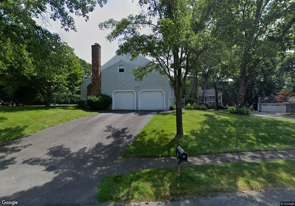
34 Canavan Cir Needham, MA 02492
Estimated Value: $1,130,000 - $1,724,000
4
Beds
4
Baths
1,236
Sq Ft
$1,255/Sq Ft
Est. Value
About This Home
This home is located at 34 Canavan Cir, Needham, MA 02492 and is currently estimated at $1,550,574, approximately $1,254 per square foot. 34 Canavan Cir is a home located in Norfolk County with nearby schools including Newman Elementary School, High Rock Middle School, and Pollard Middle School.
Ownership History
Date
Name
Owned For
Owner Type
Purchase Details
Closed on
Apr 19, 2017
Sold by
Rosemark Barbara W and Rosemark Bob M
Bought by
34 Canavan Circle Rt and Rosemark
Current Estimated Value
Create a Home Valuation Report for This Property
The Home Valuation Report is an in-depth analysis detailing your home's value as well as a comparison with similar homes in the area
Home Values in the Area
Average Home Value in this Area
Purchase History
| Date | Buyer | Sale Price | Title Company |
|---|---|---|---|
| 34 Canavan Circle Rt | -- | -- | |
| 34 Canavan Circle Rt | -- | -- |
Source: Public Records
Tax History Compared to Growth
Tax History
| Year | Tax Paid | Tax Assessment Tax Assessment Total Assessment is a certain percentage of the fair market value that is determined by local assessors to be the total taxable value of land and additions on the property. | Land | Improvement |
|---|---|---|---|---|
| 2025 | $14,046 | $1,325,100 | $809,300 | $515,800 |
| 2024 | $13,045 | $1,041,900 | $583,700 | $458,200 |
| 2023 | $13,127 | $1,006,700 | $583,700 | $423,000 |
| 2022 | $12,272 | $917,900 | $522,200 | $395,700 |
| 2021 | $11,960 | $917,900 | $522,200 | $395,700 |
| 2020 | $11,738 | $939,800 | $522,200 | $417,600 |
| 2019 | $11,007 | $888,400 | $475,600 | $412,800 |
| 2018 | $10,554 | $888,400 | $475,600 | $412,800 |
| 2017 | $9,915 | $833,900 | $475,600 | $358,300 |
| 2016 | $9,667 | $837,700 | $475,600 | $362,100 |
| 2015 | $9,458 | $837,700 | $475,600 | $362,100 |
| 2014 | $8,879 | $762,800 | $414,800 | $348,000 |
Source: Public Records
Map
Nearby Homes
- 37 Standish Rd
- 333 Cartwright Rd
- 15 Jenna Cir
- 29 Tolman St
- 98 Great Plain Ave
- 189 Bridle Trail Rd
- 52 Hancock Rd
- 3 Hancock Rd
- 37 Carleton Dr
- 222 Grove St
- 365 Charles River St
- 11 Shirley Rd
- 24 Deerfield Rd
- 34 Pershing Rd
- 94 Rice St
- 1780 Central Ave
- 9 Hampden St
- 14 Twitchell St
- 73 Maple St Unit 1
- 193 Garden St