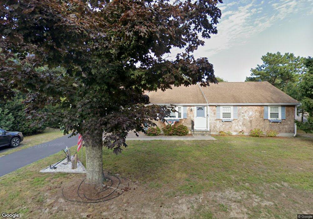
34 Captain Berry Ln Dennis Port, MA 02639
Dennis Port NeighborhoodEstimated Value: $592,000 - $702,000
3
Beds
2
Baths
1,194
Sq Ft
$535/Sq Ft
Est. Value
About This Home
This home is located at 34 Captain Berry Ln, Dennis Port, MA 02639 and is currently estimated at $638,234, approximately $534 per square foot. 34 Captain Berry Ln is a home located in Barnstable County with nearby schools including Dennis-Yarmouth Regional High School.
Ownership History
Date
Name
Owned For
Owner Type
Purchase Details
Closed on
May 18, 2012
Sold by
Sawyer Harry J and Sawyer Jeanne M
Bought by
Cobb Philip P and Cobb Kathleen A
Current Estimated Value
Home Financials for this Owner
Home Financials are based on the most recent Mortgage that was taken out on this home.
Original Mortgage
$210,000
Outstanding Balance
$146,247
Interest Rate
4.01%
Mortgage Type
New Conventional
Estimated Equity
$491,987
Create a Home Valuation Report for This Property
The Home Valuation Report is an in-depth analysis detailing your home's value as well as a comparison with similar homes in the area
Home Values in the Area
Average Home Value in this Area
Purchase History
| Date | Buyer | Sale Price | Title Company |
|---|---|---|---|
| Cobb Philip P | $285,000 | -- |
Source: Public Records
Mortgage History
| Date | Status | Borrower | Loan Amount |
|---|---|---|---|
| Open | Cobb Philip P | $210,000 |
Source: Public Records
Tax History Compared to Growth
Tax History
| Year | Tax Paid | Tax Assessment Tax Assessment Total Assessment is a certain percentage of the fair market value that is determined by local assessors to be the total taxable value of land and additions on the property. | Land | Improvement |
|---|---|---|---|---|
| 2025 | $2,532 | $584,700 | $154,400 | $430,300 |
| 2024 | $2,459 | $560,100 | $157,200 | $402,900 |
| 2023 | $2,378 | $509,300 | $142,900 | $366,400 |
| 2022 | $2,316 | $413,600 | $143,100 | $270,500 |
| 2021 | $5,073 | $350,900 | $126,200 | $224,700 |
| 2020 | $2,031 | $333,000 | $126,200 | $206,800 |
| 2019 | $1,915 | $310,400 | $123,800 | $186,600 |
| 2018 | $1,823 | $287,600 | $117,800 | $169,800 |
| 2017 | $1,736 | $282,300 | $117,800 | $164,500 |
| 2016 | $1,752 | $268,300 | $130,900 | $137,400 |
| 2015 | $1,688 | $263,700 | $130,900 | $132,800 |
| 2014 | $1,508 | $237,500 | $104,700 | $132,800 |
Source: Public Records
Map
Nearby Homes
- 11 Lane Rd
- 47 Telegraph Rd Unit 1
- 9 Country Ln
- 141 Division St
- 141 Division St
- 91 Depot Rd W
- 12 Candlewood Ln Unit 2-9
- 10 Candlewood Ln Unit 2-1
- 24 Indian Trail
- 78 Upper County Rd Unit A&B
- 78 Upper County Rd
- 45 Route 28
- 9 Bells Neck Rd Unit 10
- 40 Willow St
- 73 Division St
- 79 Massachusetts 28
- 9 Mansion St
- 148 Belmont Rd
- 64 Smith St
- 12 Cross St
- 34 Capt Berry Ln
- 31 Captain Berry Ln
- 50 Captain Berry Ln
- 121 Telegraph Rd
- 24 Captain Berry Ln
- 23 Captain Berry Ln
- 37 Captain Berry Ln
- 113 Telegraph Rd
- 47 Captain Berry Ln
- 41 Captain Berry Ln
- 334 Depot St
- 330 Depot St
- 10 Captain Berry Ln
- 340 Depot St
- 126 Telegraph Rd
- 17 Captain Berry Ln
- 139 Telegraph Rd
- 39 Captain Berry Ln
- 322 Depot St
- 322 Depot St Unit 2