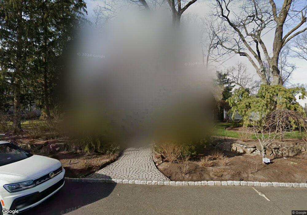
34 Cedar Dr Toms River, NJ 08753
Estimated Value: $717,304 - $890,000
3
Beds
2
Baths
4,909
Sq Ft
$165/Sq Ft
Est. Value
About This Home
This home is located at 34 Cedar Dr, Toms River, NJ 08753 and is currently estimated at $811,576, approximately $165 per square foot. 34 Cedar Dr is a home located in Ocean County with nearby schools including St Joseph Grade School, Ambassador Christian Academy, and Donovan Catholic High School.
Ownership History
Date
Name
Owned For
Owner Type
Purchase Details
Closed on
Jun 30, 2020
Sold by
Brown Margot F and Brown Thomas
Bought by
Brown Margot F and Brown Thomas
Current Estimated Value
Home Financials for this Owner
Home Financials are based on the most recent Mortgage that was taken out on this home.
Original Mortgage
$325,000
Interest Rate
3.1%
Mortgage Type
New Conventional
Purchase Details
Closed on
Jan 4, 2010
Sold by
Brown Thomas and Brown Thomas J
Bought by
Brown Margot F
Create a Home Valuation Report for This Property
The Home Valuation Report is an in-depth analysis detailing your home's value as well as a comparison with similar homes in the area
Home Values in the Area
Average Home Value in this Area
Purchase History
| Date | Buyer | Sale Price | Title Company |
|---|---|---|---|
| Brown Margot F | -- | Westcor Land Title Ins Co | |
| Brown Margot F | -- | None Available |
Source: Public Records
Mortgage History
| Date | Status | Borrower | Loan Amount |
|---|---|---|---|
| Closed | Brown Margot F | $325,000 |
Source: Public Records
Tax History Compared to Growth
Tax History
| Year | Tax Paid | Tax Assessment Tax Assessment Total Assessment is a certain percentage of the fair market value that is determined by local assessors to be the total taxable value of land and additions on the property. | Land | Improvement |
|---|---|---|---|---|
| 2025 | $9,489 | $521,100 | $259,000 | $262,100 |
| 2024 | $9,020 | $521,100 | $259,000 | $262,100 |
| 2023 | $8,697 | $521,100 | $259,000 | $262,100 |
| 2022 | $8,697 | $521,100 | $259,000 | $262,100 |
| 2021 | $7,921 | $316,200 | $101,000 | $215,200 |
| 2020 | $7,886 | $316,200 | $101,000 | $215,200 |
| 2019 | $7,545 | $316,200 | $101,000 | $215,200 |
| 2018 | $7,443 | $316,200 | $101,000 | $215,200 |
| 2017 | $7,380 | $316,200 | $101,000 | $215,200 |
| 2016 | $7,187 | $316,200 | $101,000 | $215,200 |
| 2015 | $6,915 | $316,200 | $101,000 | $215,200 |
| 2014 | $6,583 | $316,200 | $101,000 | $215,200 |
Source: Public Records
Map
Nearby Homes
- 21 Cedar Dr Unit A
- 108 Pine St
- 14 Laurel Ave
- 18 East Dr
- 802 Washington St
- 130 Cranmoor Dr
- 543 Clifton Ave
- 118 Point o Woods Dr
- 548 Hill Rd
- 93 Longfellow Ave
- 511 Batchelor St
- 16 Dickinson Ave
- 505 Batchelor St
- 1420 Summit Ave
- 1427 Summit Ave
- 693 Clifton Ave
- 1438 Summit Ave
- 508 Lafayette Ave
- 50 Breton Harbor Dr
- 600 Brookside Dr