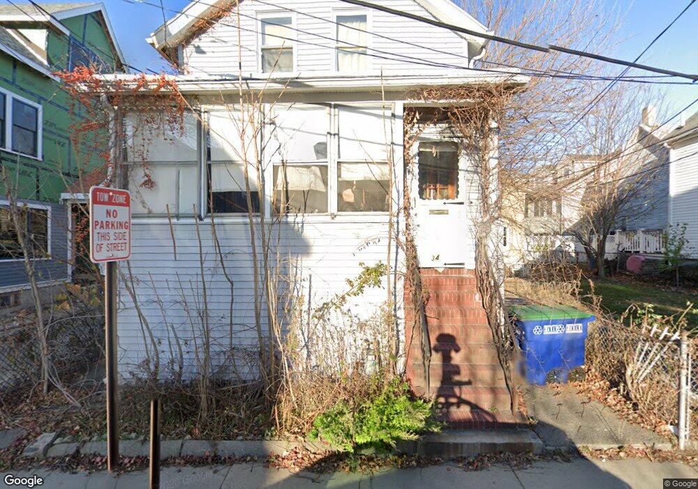
34 Clyde St Unit R Somerville, MA 02145
Magoun Square NeighborhoodEstimated Value: $1,002,000 - $1,081,000
4
Beds
2
Baths
1,856
Sq Ft
$567/Sq Ft
Est. Value
About This Home
This home is located at 34 Clyde St Unit R, Somerville, MA 02145 and is currently estimated at $1,052,359, approximately $567 per square foot. 34 Clyde St Unit R is a home located in Middlesex County with nearby schools including Somerville High School, St. Clement Elementary School, and Saint Theresa School.
Ownership History
Date
Name
Owned For
Owner Type
Purchase Details
Closed on
Aug 11, 2006
Sold by
Mcfadden Bridgeen M and Mcfadden Frank
Bought by
Clyde Street Nt and Mcfadden
Current Estimated Value
Purchase Details
Closed on
Jun 3, 1994
Sold by
Iag Fcu
Bought by
Mcfadden Frank and Mcfadden Bridgeen M
Home Financials for this Owner
Home Financials are based on the most recent Mortgage that was taken out on this home.
Original Mortgage
$65,000
Interest Rate
8.49%
Mortgage Type
Purchase Money Mortgage
Purchase Details
Closed on
Nov 24, 1993
Sold by
Pitcher Brenda M
Bought by
Progressive Consumers
Create a Home Valuation Report for This Property
The Home Valuation Report is an in-depth analysis detailing your home's value as well as a comparison with similar homes in the area
Home Values in the Area
Average Home Value in this Area
Purchase History
| Date | Buyer | Sale Price | Title Company |
|---|---|---|---|
| Clyde Street Nt | -- | -- | |
| Clyde Street Nt | -- | -- | |
| Mcfadden Frank | $75,000 | -- | |
| Mcfadden Frank | $75,000 | -- | |
| Progressive Consumers | $59,500 | -- | |
| Progressive Consumers | $59,500 | -- |
Source: Public Records
Mortgage History
| Date | Status | Borrower | Loan Amount |
|---|---|---|---|
| Previous Owner | Progressive Consumers | $65,000 |
Source: Public Records
Tax History
| Year | Tax Paid | Tax Assessment Tax Assessment Total Assessment is a certain percentage of the fair market value that is determined by local assessors to be the total taxable value of land and additions on the property. | Land | Improvement |
|---|---|---|---|---|
| 2025 | $9,229 | $845,900 | $453,700 | $392,200 |
| 2024 | $8,662 | $823,400 | $453,700 | $369,700 |
| 2023 | $8,448 | $817,000 | $453,700 | $363,300 |
| 2022 | $7,901 | $776,100 | $432,100 | $344,000 |
| 2021 | $7,436 | $729,700 | $411,500 | $318,200 |
| 2020 | $7,026 | $696,300 | $395,700 | $300,600 |
| 2019 | $6,678 | $620,600 | $344,100 | $276,500 |
| 2018 | $6,347 | $561,200 | $312,800 | $248,400 |
| 2017 | $5,676 | $486,400 | $295,100 | $191,300 |
| 2016 | $5,690 | $454,100 | $269,900 | $184,200 |
| 2015 | $5,688 | $451,100 | $268,400 | $182,700 |
Source: Public Records
Map
Nearby Homes
- 13 Warwick St
- 69 Boston Ave
- 156 Albion St Unit B
- 156 Albion St Unit 1
- 118 Albion St Unit 2
- 32 Richardson St
- 34 Hinckley St Unit 1
- 8 Albion Terrace
- 3 Vinal St
- 14 Rogers Ave
- 70 Albion St Unit 3
- 80 Hudson St
- 496 Medford St
- 595 Broadway Unit 302
- 595 Broadway Unit 101
- 595 Broadway Unit 202
- 49 Cherry St Unit 1
- 7 Woodbine St
- 1-3 Woodbine St
- 161 Lowell St Unit 1
- 34 Clyde St
- 34R Clyde St Unit 2
- 32 Clyde St Unit 2
- 32 Clyde St Unit 3
- 30 Clyde St Unit 2
- 30 Clyde St
- 63 Murdock St
- 61 Murdock St
- 61 Murdock St Unit 61
- 61 Murdock St Unit 1
- 59 Murdock St
- 36 Clyde St
- 28 Clyde St
- 28 Clyde St Unit 1
- 65 Murdock St
- 57 Murdock St
- 55 Murdock St
- 53 Murdock St
- 55 Murdock St Unit 55
- 55 Murdock St Unit 2,55
Your Personal Tour Guide
Ask me questions while you tour the home.