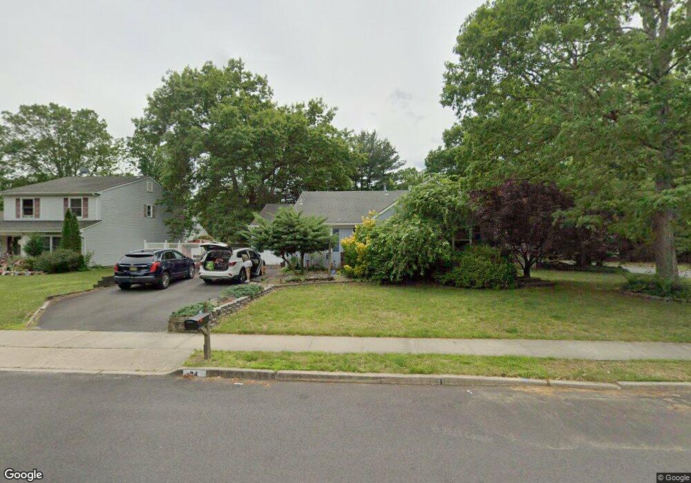
34 Cornwallis Rd Toms River, NJ 08755
Estimated Value: $453,592 - $629,000
3
Beds
2
Baths
1,332
Sq Ft
$422/Sq Ft
Est. Value
About This Home
This home is located at 34 Cornwallis Rd, Toms River, NJ 08755 and is currently estimated at $562,648, approximately $422 per square foot. 34 Cornwallis Rd is a home located in Ocean County with nearby schools including Ocean Academy Charter School, Bnos Brocha, and Cheder Toras Zev.
Ownership History
Date
Name
Owned For
Owner Type
Purchase Details
Closed on
Sep 26, 2005
Sold by
Crincoli Joseph A
Bought by
Crincoli Joseph A and Crincoli Margaret A
Current Estimated Value
Home Financials for this Owner
Home Financials are based on the most recent Mortgage that was taken out on this home.
Original Mortgage
$213,500
Interest Rate
12.99%
Mortgage Type
Fannie Mae Freddie Mac
Create a Home Valuation Report for This Property
The Home Valuation Report is an in-depth analysis detailing your home's value as well as a comparison with similar homes in the area
Home Values in the Area
Average Home Value in this Area
Purchase History
| Date | Buyer | Sale Price | Title Company |
|---|---|---|---|
| Crincoli Joseph A | -- | Equititle Llc |
Source: Public Records
Mortgage History
| Date | Status | Borrower | Loan Amount |
|---|---|---|---|
| Closed | Crincoli Joseph A | $213,500 |
Source: Public Records
Tax History
| Year | Tax Paid | Tax Assessment Tax Assessment Total Assessment is a certain percentage of the fair market value that is determined by local assessors to be the total taxable value of land and additions on the property. | Land | Improvement |
|---|---|---|---|---|
| 2025 | $7,185 | $367,500 | $130,000 | $237,500 |
| 2024 | $6,361 | $367,500 | $130,000 | $237,500 |
| 2023 | $6,130 | $367,500 | $130,000 | $237,500 |
| 2022 | $6,130 | $367,500 | $130,000 | $237,500 |
| 2021 | $5,551 | $222,200 | $104,800 | $117,400 |
| 2020 | $5,526 | $222,200 | $104,800 | $117,400 |
| 2019 | $5,286 | $222,200 | $104,800 | $117,400 |
| 2018 | $5,233 | $222,200 | $104,800 | $117,400 |
| 2017 | $5,197 | $222,200 | $104,800 | $117,400 |
| 2016 | $5,075 | $222,200 | $104,800 | $117,400 |
| 2015 | $4,893 | $222,200 | $104,800 | $117,400 |
| 2014 | $4,651 | $222,200 | $104,800 | $117,400 |
Source: Public Records
Map
Nearby Homes
- 185 Liberty Bell Rd
- 205 Liberty Bell Rd
- 405 Mississippi St Unit 705
- 222 Liberty Bell Rd
- 306 Susquehanna St
- 86 Cox Cro Rd
- 1973 Whitesville Rd
- 1005 Bal Harbor Dr
- 1012 Bal Harbor Dr
- 2137 Rainbow Way
- 1021 Bal Harbor Dr
- 1088 Cox Cro Rd
- 1017 Bal Harbor Dr
- 1009 Bal Harbor Dr
- 110 Prosperity Ct Unit 110
- 2005 Coconut Grove Rd
- 1094 Cox Cro Rd
- 2009 Coconut Grove Ct
- 2013 Coconut Grove Ct
- 1020 Bal Harbor Dr
- 30 Cornwallis Rd
- 39 Bunker Hill Dr
- 26 Cornwallis Rd
- 33 Cornwallis Rd
- 33 Bunker Hill Dr
- 27 Cornwallis Rd
- 45 Bunker Hill Dr
- 22 Cornwallis Rd
- 29 Bunker Hill Dr
- 21 Cornwallis Rd
- 101 Liberty Bell Rd
- 40 Bunker Hill Dr
- 25 Bunker Hill Dr
- 18 Cornwallis Rd
- 105 Liberty Bell Rd
- 36 Bunker Hill Dr
- 15 Cornwallis Rd
- 127 Ticonderoga Dr
- 32 Bunker Hill Dr
- 100 Liberty Bell Rd
Your Personal Tour Guide
Ask me questions while you tour the home.