Estimated Value: $961,278 - $1,024,000
5
Beds
4
Baths
4,931
Sq Ft
$204/Sq Ft
Est. Value
About This Home
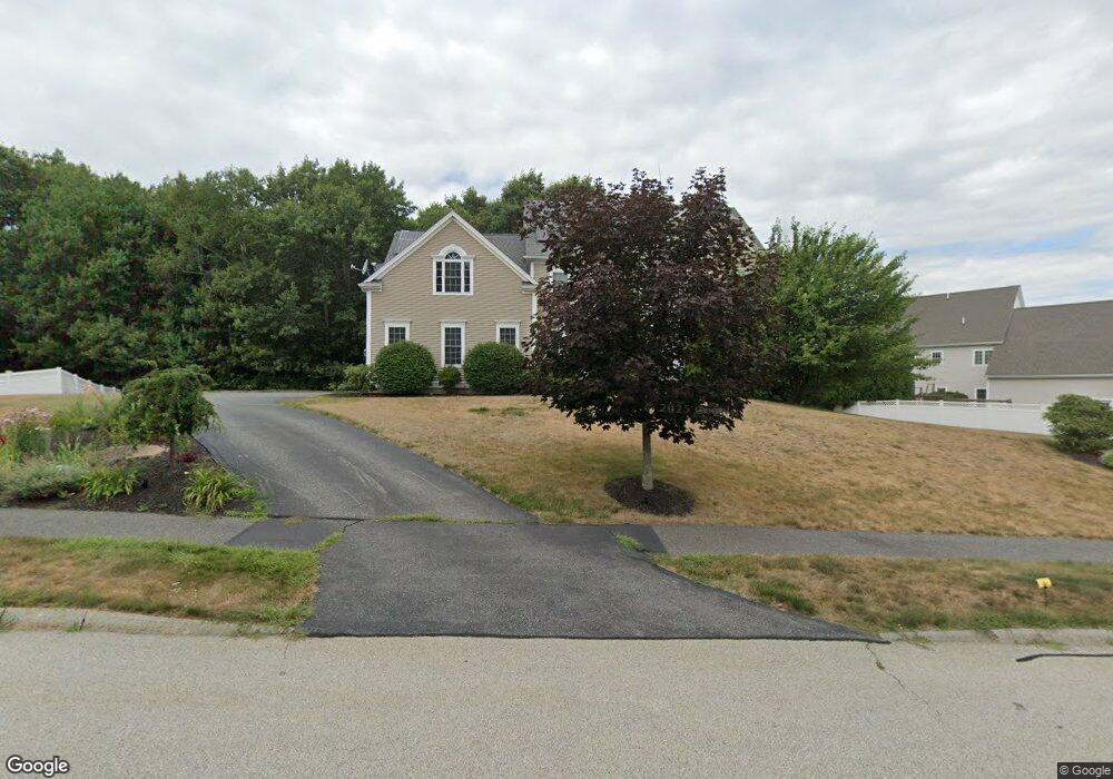
This home is located at 34 Dairy Dr Unit 34, Upton, MA 01568 and is currently estimated at $1,005,820, approximately $203 per square foot. 34 Dairy Dr Unit 34 is a home located in Worcester County with nearby schools including Nipmuc Regional High School, Touchstone Community School, and Silver Spruce Montessori School.
Ownership History
Date
Name
Owned For
Owner Type
Purchase Details
Closed on
Aug 3, 2015
Sold by
Haghighi Mohamad T and Burke Bonnie J
Bought by
Rapur Venu P and Rapur Jhansi
Current Estimated Value
Home Financials for this Owner
Home Financials are based on the most recent Mortgage that was taken out on this home.
Original Mortgage
$488,000
Outstanding Balance
$368,714
Interest Rate
3%
Mortgage Type
Purchase Money Mortgage
Estimated Equity
$637,106
Purchase Details
Closed on
Nov 19, 2004
Sold by
Mg Kane Prop Inc
Bought by
Burke Bonnie J and Haghighi Mohamad T
Create a Home Valuation Report for This Property
The Home Valuation Report is an in-depth analysis detailing your home's value as well as a comparison with similar homes in the area
Home Values in the Area
Average Home Value in this Area
Purchase History
| Date | Buyer | Sale Price | Title Company |
|---|---|---|---|
| Rapur Venu P | $610,000 | -- | |
| Burke Bonnie J | $599,300 | -- |
Source: Public Records
Mortgage History
| Date | Status | Borrower | Loan Amount |
|---|---|---|---|
| Open | Rapur Venu P | $488,000 |
Source: Public Records
Tax History
| Year | Tax Paid | Tax Assessment Tax Assessment Total Assessment is a certain percentage of the fair market value that is determined by local assessors to be the total taxable value of land and additions on the property. | Land | Improvement |
|---|---|---|---|---|
| 2025 | $12,641 | $961,300 | $271,700 | $689,600 |
| 2024 | $12,326 | $901,000 | $248,500 | $652,500 |
| 2023 | $8,889 | $640,900 | $161,700 | $479,200 |
| 2022 | $10,703 | $638,200 | $161,700 | $476,500 |
| 2021 | $10,800 | $650,600 | $183,600 | $467,000 |
| 2020 | $11,190 | $649,800 | $171,700 | $478,100 |
| 2019 | $11,264 | $650,700 | $163,700 | $487,000 |
| 2018 | $11,277 | $654,500 | $180,900 | $473,600 |
| 2017 | $11,321 | $623,400 | $180,900 | $442,500 |
| 2016 | $11,006 | $593,000 | $140,100 | $452,900 |
| 2015 | $10,038 | $592,200 | $146,900 | $445,300 |
| 2014 | $10,001 | $590,000 | $153,800 | $436,200 |
Source: Public Records
Map
Nearby Homes
- Lot 108 W Main St
- 10 Mechanic St
- 13 Jonathans Way
- 135 Main St
- 24 Mcquades Ln
- 2428-2430 Providence Rd
- 0 Emond St Unit 1
- 0 Emond St Unit 73480228
- 51 Knowlton Cir Unit 51
- 35 School St Unit 35
- 2294 Providence Rd
- 86 Mikes Way Unit 86
- 1 Knowlton Cir Unit 1
- 74 Warren St
- 2248 Providence Rd
- 72 Main St
- 69-71 Providence Rd
- 4 Hazeltine Rd
- 240 Roosevelt Dr
- 13 Plain St
Your Personal Tour Guide
Ask me questions while you tour the home.