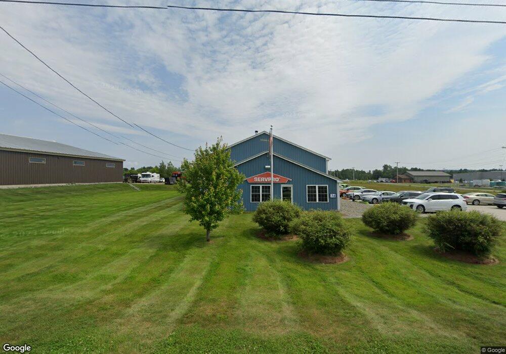
34 Dave's Way Hermon, ME 04401
Estimated Value: $517,000 - $780,000
--
Bed
--
Bath
5,120
Sq Ft
$118/Sq Ft
Est. Value
About This Home
This home is located at 34 Dave's Way, Hermon, ME 04401 and is currently estimated at $603,790, approximately $117 per square foot. 34 Dave's Way is a home located in Penobscot County with nearby schools including Patricia A Duran School, Hermon Middle School, and Hermon High School.
Ownership History
Date
Name
Owned For
Owner Type
Purchase Details
Closed on
Nov 30, 2023
Sold by
Prominent Holdings Llc
Bought by
Cox Shawn M
Current Estimated Value
Home Financials for this Owner
Home Financials are based on the most recent Mortgage that was taken out on this home.
Original Mortgage
$408,000
Outstanding Balance
$400,719
Interest Rate
7.63%
Mortgage Type
Purchase Money Mortgage
Estimated Equity
$203,071
Purchase Details
Closed on
Oct 31, 2013
Sold by
Trash Lady Llc
Bought by
Prominent Holdings Llc
Purchase Details
Closed on
Dec 14, 2007
Sold by
Lane Clifford A
Bought by
Hillview Props Llc
Home Financials for this Owner
Home Financials are based on the most recent Mortgage that was taken out on this home.
Original Mortgage
$500,000
Interest Rate
6.3%
Mortgage Type
Purchase Money Mortgage
Create a Home Valuation Report for This Property
The Home Valuation Report is an in-depth analysis detailing your home's value as well as a comparison with similar homes in the area
Home Values in the Area
Average Home Value in this Area
Purchase History
| Date | Buyer | Sale Price | Title Company |
|---|---|---|---|
| Cox Shawn M | $510,000 | None Available | |
| Prominent Holdings Llc | -- | -- | |
| Prominent Holdings Llc | -- | -- | |
| Hillview Props Llc | -- | -- |
Source: Public Records
Mortgage History
| Date | Status | Borrower | Loan Amount |
|---|---|---|---|
| Open | Cox Shawn M | $408,000 | |
| Previous Owner | Hillview Props Llc | $284,000 | |
| Previous Owner | Hillview Props Llc | $500,000 |
Source: Public Records
Tax History Compared to Growth
Tax History
| Year | Tax Paid | Tax Assessment Tax Assessment Total Assessment is a certain percentage of the fair market value that is determined by local assessors to be the total taxable value of land and additions on the property. | Land | Improvement |
|---|---|---|---|---|
| 2024 | $5,428 | $498,000 | $118,000 | $380,000 |
| 2023 | $4,591 | $390,700 | $109,800 | $280,900 |
| 2022 | $4,501 | $378,200 | $97,700 | $280,500 |
| 2021 | $4,496 | $375,000 | $94,500 | $280,500 |
| 2020 | $4,470 | $372,800 | $92,300 | $280,500 |
| 2019 | $4,442 | $370,500 | $90,000 | $280,500 |
| 2018 | $4,298 | $370,500 | $90,000 | $280,500 |
| 2017 | $4,191 | $343,500 | $96,500 | $247,000 |
| 2016 | $4,171 | $347,600 | $92,900 | $254,700 |
| 2015 | $4,105 | $342,100 | $89,300 | $252,800 |
| 2014 | $4,291 | $357,566 | $89,300 | $268,266 |
Source: Public Records
Map
Nearby Homes
- 281 Partridge Ln
- 287 Partridge Ln
- 273 Partridge Ln
- 283 Partridge Ln
- 73 Papermill Rd
- 3 Cole Cir
- 0 Western Ave Unit 21258039
- 338 Western Ave
- 327 Western Ave
- 204 Edenfield Dr
- 45 Hughes Blvd
- 42 Patterson Rd
- 2425- U S 2
- 41 Stoneybrook Rd
- 34 Stoneybrook Rd
- 0 Constitution
- 52 Johns Way
- 164 Mayo Rd
- TBD Western Ave
- 10 Independence Ave
- 42 Daves Way
- 50 Daves Way
- 2720 Coldbrook Rd
- 53 Daves Way
- 616 Coldbrook Rd
- 626 Coldbrook Rd
- 608 Coldbrook Rd
- 640 Coldbrook Rd
- 594 Coldbrook Rd
- 646 Coldbrook Rd
- 603 Coldbrook Rd
- 163 Littlefield Ave
- 6 Autocar Ln
- 52 Autocar Ln
- 162 Littlefield Ave
- 678 Coldbrook Rd
- 2001 Coldbrook Rd
- 160 Littlefield Ave
- 677 Coldbrook Rd
- 686 Coldbrook Rd