34 Dr Fisher Rd Vineyard Haven, MA 02568
West Tisbury NeighborhoodEstimated Value: $1,288,000 - $2,072,000
3
Beds
2
Baths
1,428
Sq Ft
$1,225/Sq Ft
Est. Value
About This Home
This home is located at 34 Dr Fisher Rd, Vineyard Haven, MA 02568 and is currently estimated at $1,748,933, approximately $1,224 per square foot. 34 Dr Fisher Rd is a home located in Dukes County with nearby schools including Martha's Vineyard Regional High School and Martha's Vineyard Charter School.
Ownership History
Date
Name
Owned For
Owner Type
Purchase Details
Closed on
Nov 2, 2015
Sold by
Flynn Cornelius D
Bought by
Barse Elaine R and Egan Christopher R
Current Estimated Value
Home Financials for this Owner
Home Financials are based on the most recent Mortgage that was taken out on this home.
Original Mortgage
$574,000
Outstanding Balance
$439,002
Interest Rate
3%
Mortgage Type
New Conventional
Estimated Equity
$1,309,931
Create a Home Valuation Report for This Property
The Home Valuation Report is an in-depth analysis detailing your home's value as well as a comparison with similar homes in the area
Home Values in the Area
Average Home Value in this Area
Purchase History
| Date | Buyer | Sale Price | Title Company |
|---|---|---|---|
| Barse Elaine R | $730,000 | -- |
Source: Public Records
Mortgage History
| Date | Status | Borrower | Loan Amount |
|---|---|---|---|
| Open | Barse Elaine R | $574,000 |
Source: Public Records
Tax History Compared to Growth
Tax History
| Year | Tax Paid | Tax Assessment Tax Assessment Total Assessment is a certain percentage of the fair market value that is determined by local assessors to be the total taxable value of land and additions on the property. | Land | Improvement |
|---|---|---|---|---|
| 2025 | $9,618 | $2,123,100 | $813,600 | $1,309,500 |
| 2024 | $8,631 | $2,007,200 | $790,000 | $1,217,200 |
| 2023 | $8,281 | $1,899,300 | $752,300 | $1,147,000 |
| 2022 | $8,392 | $1,442,000 | $479,100 | $962,900 |
| 2021 | $7,437 | $1,219,100 | $394,600 | $824,500 |
| 2020 | $5,579 | $919,100 | $394,600 | $524,500 |
| 2019 | $5,438 | $879,900 | $394,600 | $485,300 |
| 2018 | $4,314 | $711,800 | $372,000 | $339,800 |
| 2017 | $4,083 | $684,000 | $365,500 | $318,500 |
| 2016 | $3,773 | $622,600 | $345,900 | $276,700 |
| 2015 | $3,473 | $608,300 | $345,900 | $262,400 |
| 2014 | $3,076 | $568,600 | $377,400 | $191,200 |
Source: Public Records
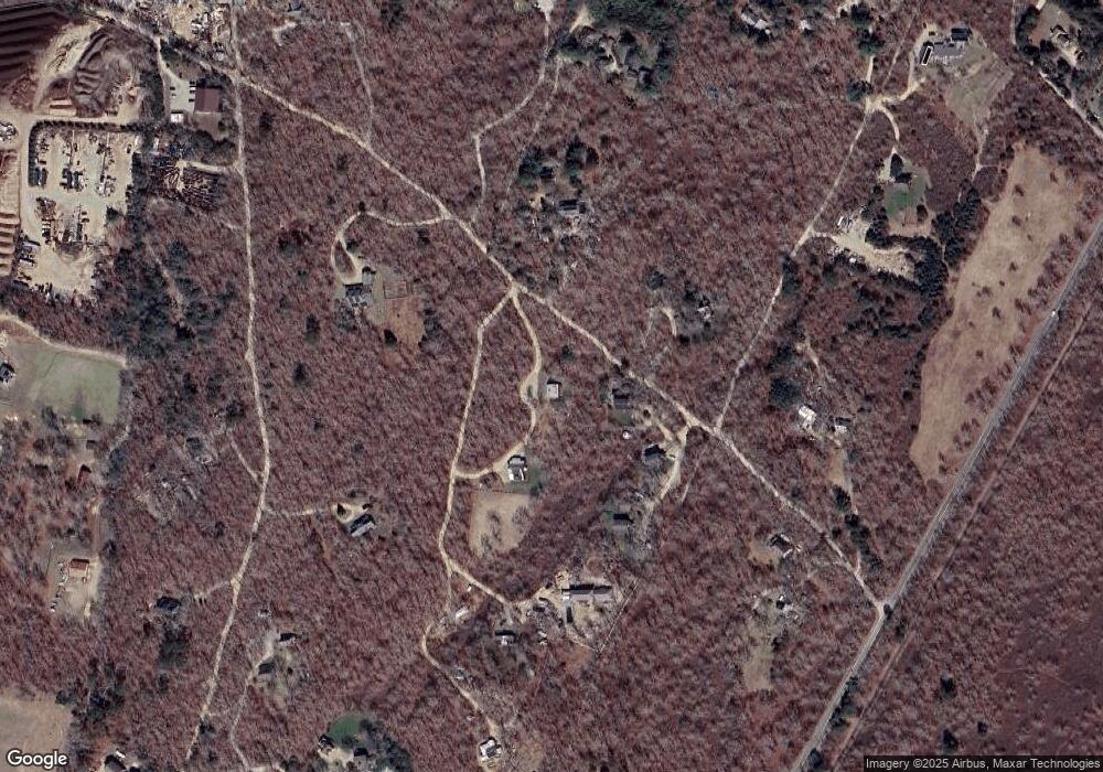
Map
Nearby Homes
- 22 Bramble Path Unit 214
- 22 Bramble Path
- 9 Galway Rd
- 52 Old Coach Rd
- 651 State Rd
- 31 Josiah Sachem Way
- 42 Hidden Village Rd
- 14 Rebekahs Way
- 40 Scotchmans Ln
- 38 Fire Tower Rd Unit 40.2
- 10 Trotters Ln
- 229 Oak Ln
- 10 Danls Way
- 34 Pine Ln
- 32 Edgartown - West Tisbury Rd Unit 81
- 105 Stoney Hill Rd
- 53 Stoney Hill Rd
- 55 Old House Way
- 4 Rock Pond Rd
- 97 Longview Rd
- 34 Doctor Fisher Rd
- 30 Doctor Fisher Rd Unit C
- 50 Doctor Fisher Rd
- 30A Dr Fisher Rd
- 30 Dr Fisher Rd
- 33 Dr Fisher Rd
- 33 Doctor Fisher Rd
- 52 Doctor Fisher Rd
- 93 Doctor Fisher Rd
- 0 Doctor Fisher Rd
- 53 Dr Fisher Rd
- 74 Dr Fisher Rd
- 185 Pine Hill Rd
- 100 Old Holmes Hole Rd
- 50 Dr Fisher Rd
- 5 Dr Fisher Rd
- 147 Old Holmes Hole Rd
- 4 Dr Fisher Rd
- 55 Dr Fisher Rd
- 204 Pine Hill Rd