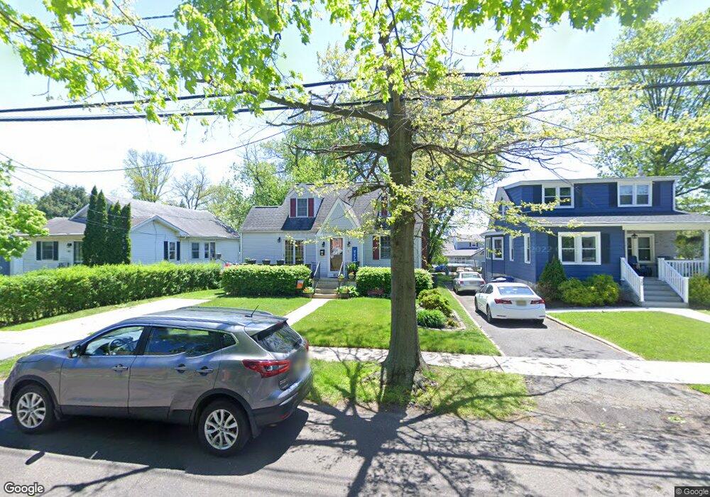
34 E Linwood Ave Maple Shade, NJ 08052
Estimated Value: $341,723 - $385,000
Studio
--
Bath
1,376
Sq Ft
$266/Sq Ft
Est. Value
About This Home
This home is located at 34 E Linwood Ave, Maple Shade, NJ 08052 and is currently estimated at $366,431, approximately $266 per square foot. 34 E Linwood Ave is a home located in Burlington County with nearby schools including Ralph J Steinhauer Elementary School, Maude M. Wilkins Elementary School, and Howard R Yocum School.
Ownership History
Date
Name
Owned For
Owner Type
Purchase Details
Closed on
May 15, 2003
Sold by
Mcnesby Dorothy L
Bought by
Rein Stanley L and Ingram Jennifer T
Current Estimated Value
Home Financials for this Owner
Home Financials are based on the most recent Mortgage that was taken out on this home.
Original Mortgage
$16,490
Interest Rate
5.86%
Mortgage Type
Stand Alone Second
Create a Home Valuation Report for This Property
The Home Valuation Report is an in-depth analysis detailing your home's value as well as a comparison with similar homes in the area
Home Values in the Area
Average Home Value in this Area
Purchase History
| Date | Buyer | Sale Price | Title Company |
|---|---|---|---|
| Rein Stanley L | $164,900 | Collegiate Title Corp |
Source: Public Records
Mortgage History
| Date | Status | Borrower | Loan Amount |
|---|---|---|---|
| Closed | Rein Stanley L | $16,490 | |
| Open | Rein Stanley L | $131,920 |
Source: Public Records
Tax History
| Year | Tax Paid | Tax Assessment Tax Assessment Total Assessment is a certain percentage of the fair market value that is determined by local assessors to be the total taxable value of land and additions on the property. | Land | Improvement |
|---|---|---|---|---|
| 2025 | $6,112 | $161,000 | $46,600 | $114,400 |
| 2024 | $5,934 | $161,000 | $46,600 | $114,400 |
| 2023 | $5,934 | $161,000 | $46,600 | $114,400 |
| 2022 | $5,843 | $161,000 | $46,600 | $114,400 |
| 2021 | $5,786 | $161,000 | $46,600 | $114,400 |
| 2020 | $5,802 | $161,000 | $46,600 | $114,400 |
| 2019 | $5,590 | $161,000 | $46,600 | $114,400 |
| 2018 | $5,493 | $161,000 | $46,600 | $114,400 |
| 2017 | $5,429 | $161,000 | $46,600 | $114,400 |
| 2016 | $5,348 | $161,000 | $46,600 | $114,400 |
| 2015 | $5,233 | $161,000 | $46,600 | $114,400 |
| 2014 | $5,073 | $161,000 | $46,600 | $114,400 |
Source: Public Records
Map
Nearby Homes
- 207 E Park Ave
- 400 N Forklanding Rd
- 48 Helen Ave
- 411 C12 Stiles Ave Unit C-12
- 411 A2 Stiles Ave Unit A-2
- 411 N Stiles Ave Unit B9
- 47 S Lippincott Ave
- 42 Spruce Ave
- 61 S Maple Ave
- 57 S Terrace Ave
- 712 E Woodlawn Ave
- 48 5th Ave
- 311 Gradwell Ave
- 206 S Maple Ave
- 35 Farnsworth Ave
- 331 Collins Ln
- 27 Indian Queen Ln
- 115 S Walnut Ave
- 26 Morris Ave
- 15 S Pine Ave
- 30 E Linwood Ave
- 36 E Linwood Ave
- 26 E Linwood Ave
- 40 E Linwood Ave
- 22 E Linwood Ave
- 21 E Broadway
- 44 E Linwood Ave
- 25 E Broadway
- 17 E Broadway
- 13 E Broadway
- 29 E Broadway
- 18 E Linwood Ave
- 48 E Linwood Ave
- 16 E Linwood Ave
- 9 E Broadway
- 33 E Broadway
- 27 E Linwood Ave
- 52 E Linwood Ave
- 104 N Maple Ave
- 111 N Forklanding Rd
Your Personal Tour Guide
Ask me questions while you tour the home.