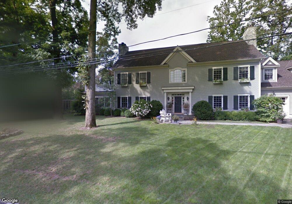
34 Field Rd Riverside, CT 06878
Estimated Value: $1,257,604 - $4,331,000
4
Beds
2
Baths
1,808
Sq Ft
$1,227/Sq Ft
Est. Value
About This Home
This home is located at 34 Field Rd, Riverside, CT 06878 and is currently estimated at $2,218,151, approximately $1,226 per square foot. 34 Field Rd is a home located in Fairfield County with nearby schools including Riverside School, Eastern Middle School, and Greenwich High School.
Ownership History
Date
Name
Owned For
Owner Type
Purchase Details
Closed on
Mar 4, 2004
Sold by
Good Life Prtnrs Llc
Bought by
Long Scott A and Alessandra Mari M
Current Estimated Value
Home Financials for this Owner
Home Financials are based on the most recent Mortgage that was taken out on this home.
Original Mortgage
$1,920,000
Interest Rate
3.85%
Mortgage Type
Purchase Money Mortgage
Purchase Details
Closed on
Apr 13, 1988
Sold by
Poillon Nannette
Bought by
Henry Thomas
Home Financials for this Owner
Home Financials are based on the most recent Mortgage that was taken out on this home.
Original Mortgage
$331,800
Interest Rate
9.78%
Mortgage Type
Purchase Money Mortgage
Purchase Details
Closed on
May 4, 1987
Sold by
Wagner Robert
Bought by
Poillon Nannette
Create a Home Valuation Report for This Property
The Home Valuation Report is an in-depth analysis detailing your home's value as well as a comparison with similar homes in the area
Home Values in the Area
Average Home Value in this Area
Purchase History
| Date | Buyer | Sale Price | Title Company |
|---|---|---|---|
| Long Scott A | $2,569,000 | -- | |
| Henry Thomas | $462,500 | -- | |
| Poillon Nannette | $435,000 | -- |
Source: Public Records
Mortgage History
| Date | Status | Borrower | Loan Amount |
|---|---|---|---|
| Open | Poillon Nannette | $2,010,000 | |
| Closed | Poillon Nannette | $1,920,000 | |
| Previous Owner | Poillon Nannette | $785,000 | |
| Previous Owner | Poillon Nannette | $331,800 |
Source: Public Records
Tax History
| Year | Tax Paid | Tax Assessment Tax Assessment Total Assessment is a certain percentage of the fair market value that is determined by local assessors to be the total taxable value of land and additions on the property. | Land | Improvement |
|---|---|---|---|---|
| 2025 | $6,498 | $525,770 | $397,810 | $127,960 |
| 2024 | $6,276 | $525,770 | $397,810 | $127,960 |
| 2023 | $6,118 | $525,770 | $397,810 | $127,960 |
| 2022 | $6,062 | $525,770 | $397,810 | $127,960 |
| 2021 | $5,662 | $470,260 | $330,330 | $139,930 |
| 2020 | $5,653 | $470,260 | $330,330 | $139,930 |
| 2019 | $5,709 | $470,260 | $330,330 | $139,930 |
| 2018 | $5,506 | $463,820 | $330,330 | $133,490 |
| 2017 | $5,575 | $463,820 | $330,330 | $133,490 |
| 2016 | $5,487 | $463,820 | $330,330 | $133,490 |
| 2015 | $5,347 | $448,420 | $372,260 | $76,160 |
| 2014 | $5,213 | $448,420 | $372,260 | $76,160 |
Source: Public Records
Map
Nearby Homes
- 11 Field Rd
- 227 Riverside Ave
- 25 Summit Rd
- 5 Greenwich Cove Dr
- 47 Owenoke Way
- 37 Miltiades Ave
- 63 Wesskum Wood Rd
- 177 Indian Head Rd
- 10 Verona Dr
- 8 Park Ave
- 48 Meyer Place
- 25 Dialstone Ln
- 11 River Rd Unit 119
- 6 Clark St
- 2 Forest Ave
- 15 River Rd Unit 210
- 25 West Way
- 29 Sound Beach Ave
- 7 River Rd Unit Boat Slip A-2
- 7 River Rd Unit Boat Slip E3
- 34 Field Rd
- 38 Field Rd
- 28 Field Rd
- 19 Hidden Brook Rd
- 25 Field Rd
- 25 Field Rd
- 35 Hidden Brook Rd
- 35 Hidden Brook Rd
- 12 Colonial Ln
- 20 Hidden Brook Rd
- 28 Hidden Brook Rd
- 32 Hidden Brook Rd
- 18 Hidden Brook Rd
- 19 Field Rd
- 24 Field Rd
- 13 Hidden Brook Rd
- 236 Riverside Ave
- 37 Hidden Brook Rd
- 14 Hidden Brook Rd
- 22 Field Rd
Your Personal Tour Guide
Ask me questions while you tour the home.