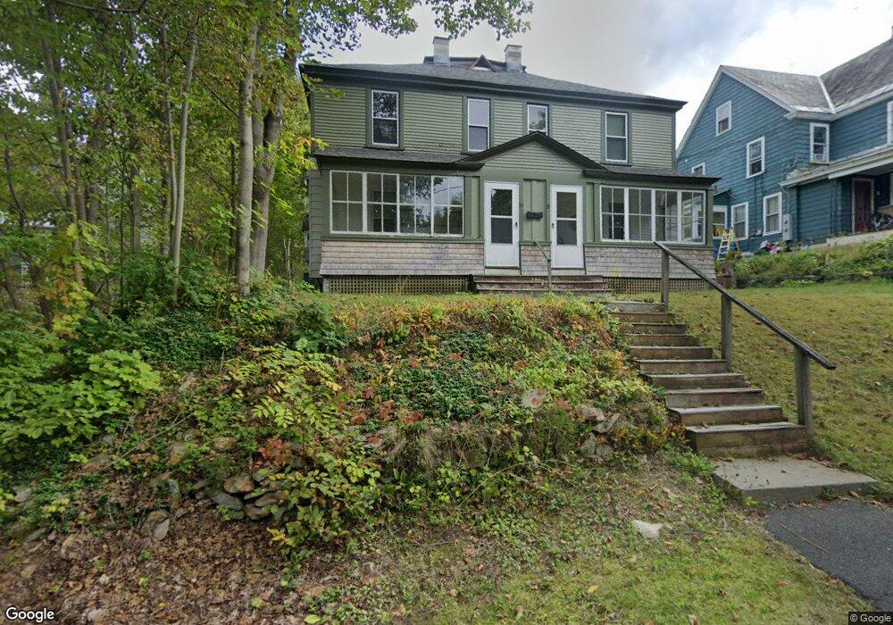
34 Folsom St Unit 36 North Adams, MA 01247
Estimated Value: $164,000 - $280,000
8
Beds
4
Baths
2,870
Sq Ft
$84/Sq Ft
Est. Value
About This Home
This home is located at 34 Folsom St Unit 36, North Adams, MA 01247 and is currently estimated at $239,959, approximately $83 per square foot. 34 Folsom St Unit 36 is a home located in Berkshire County with nearby schools including Colegrove Park Elementary School and Drury High School.
Ownership History
Date
Name
Owned For
Owner Type
Purchase Details
Closed on
Jan 19, 2017
Sold by
Sherman Paul and Sherman Leah
Bought by
Sherman Paul
Current Estimated Value
Purchase Details
Closed on
May 1, 2006
Sold by
Burda Christopher and Burda Wendy A
Bought by
Sherman Paul and Sherman Leah
Home Financials for this Owner
Home Financials are based on the most recent Mortgage that was taken out on this home.
Original Mortgage
$105,987
Interest Rate
6.4%
Mortgage Type
Purchase Money Mortgage
Create a Home Valuation Report for This Property
The Home Valuation Report is an in-depth analysis detailing your home's value as well as a comparison with similar homes in the area
Home Values in the Area
Average Home Value in this Area
Purchase History
| Date | Buyer | Sale Price | Title Company |
|---|---|---|---|
| Sherman Paul | -- | -- | |
| Sherman Paul | -- | -- | |
| Sherman Paul | $151,550 | -- | |
| Sherman Paul | $151,550 | -- |
Source: Public Records
Mortgage History
| Date | Status | Borrower | Loan Amount |
|---|---|---|---|
| Previous Owner | Sherman Paul | $105,987 | |
| Previous Owner | Sherman Paul | $7,500 |
Source: Public Records
Tax History Compared to Growth
Tax History
| Year | Tax Paid | Tax Assessment Tax Assessment Total Assessment is a certain percentage of the fair market value that is determined by local assessors to be the total taxable value of land and additions on the property. | Land | Improvement |
|---|---|---|---|---|
| 2025 | $3,197 | $191,300 | $23,100 | $168,200 |
| 2024 | $3,005 | $175,300 | $21,200 | $154,100 |
| 2023 | $2,801 | $158,500 | $21,200 | $137,300 |
| 2022 | $2,702 | $145,800 | $21,200 | $124,600 |
| 2021 | $2,512 | $135,000 | $19,600 | $115,400 |
| 2020 | $2,449 | $131,500 | $19,900 | $111,600 |
| 2019 | $2,538 | $132,800 | $20,400 | $112,400 |
| 2018 | $2,395 | $135,900 | $21,900 | $114,000 |
| 2017 | $2,377 | $134,500 | $21,600 | $112,900 |
| 2016 | $2,341 | $134,600 | $21,600 | $113,000 |
| 2015 | $2,106 | $126,200 | $22,300 | $103,900 |
Source: Public Records
Map
Nearby Homes
- 40 Folsom St Unit 42
- 28 Folsom St Unit 30
- 16 Folsom St
- 35 Folsom St
- 47 Folsom St
- 388 Union St
- 57 Folsom St
- 68 Cleveland Ave
- 68 Cleveland St
- 74 Cleveland Ave
- 38 Gallup St
- 20 Gallup St
- 392 Union St
- 80 Cleveland Ave
- 14 Gallup St
- 26 Gallup St
- 26 Gallup St Unit B
- 368 Union St
- 56 Gallup St
- 42 Gallup St Unit 44