34 Forestview Dr Spofford, NH 03462
Estimated Value: $528,411 - $612,000
3
Beds
3
Baths
2,735
Sq Ft
$210/Sq Ft
Est. Value
About This Home
This home is located at 34 Forestview Dr, Spofford, NH 03462 and is currently estimated at $575,353, approximately $210 per square foot. 34 Forestview Dr is a home with nearby schools including Chesterfield Central School, Mayland Early College High School, and Keene High School.
Ownership History
Date
Name
Owned For
Owner Type
Purchase Details
Closed on
Jun 4, 2007
Sold by
Cota Gregory R and Cota Christine E
Bought by
Rodgers Sarah A and Rodgers Neil Y
Current Estimated Value
Purchase Details
Closed on
Feb 18, 2004
Sold by
Irwin Robert F and Irwin Gail
Bought by
Cota Gregory R and Cota Christine E
Purchase Details
Closed on
Mar 24, 1997
Sold by
Finn Brian M and Finn Barbara S
Bought by
Irwin Robert F and Irwin Gail
Create a Home Valuation Report for This Property
The Home Valuation Report is an in-depth analysis detailing your home's value as well as a comparison with similar homes in the area
Home Values in the Area
Average Home Value in this Area
Purchase History
| Date | Buyer | Sale Price | Title Company |
|---|---|---|---|
| Rodgers Sarah A | $339,900 | -- | |
| Cota Gregory R | $270,000 | -- | |
| Irwin Robert F | $172,000 | -- |
Source: Public Records
Mortgage History
| Date | Status | Borrower | Loan Amount |
|---|---|---|---|
| Open | Irwin Robert F | $46,300 | |
| Open | Irwin Robert F | $257,500 | |
| Closed | Irwin Robert F | $270,000 |
Source: Public Records
Tax History Compared to Growth
Tax History
| Year | Tax Paid | Tax Assessment Tax Assessment Total Assessment is a certain percentage of the fair market value that is determined by local assessors to be the total taxable value of land and additions on the property. | Land | Improvement |
|---|---|---|---|---|
| 2024 | $6,993 | $345,500 | $100,600 | $244,900 |
| 2023 | $6,848 | $345,500 | $100,600 | $244,900 |
| 2022 | $6,710 | $345,500 | $100,600 | $244,900 |
| 2021 | $6,568 | $345,500 | $100,600 | $244,900 |
| 2020 | $6,665 | $294,800 | $67,400 | $227,400 |
| 2019 | $6,189 | $277,300 | $67,400 | $209,900 |
| 2018 | $5,590 | $277,300 | $67,400 | $209,900 |
| 2016 | $5,895 | $277,300 | $67,400 | $209,900 |
| 2014 | $6,159 | $277,300 | $67,400 | $209,900 |
Source: Public Records
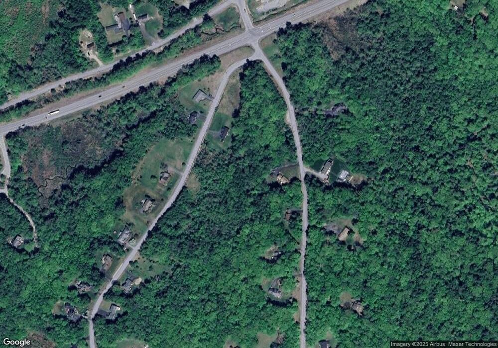
Map
Nearby Homes
- 21 Valley Park Dr
- 43 Westmoreland Rd
- 563 N Shore Rd
- 36 Canal St
- 15 Stearns Rd
- 484 Old Swanzey Rd
- 28 Owens Dr Unit 92
- 28 Owens Dr Unit 94
- 126 Pondview Rd
- 121 Pondview Rd
- 220 Hurricane Rd
- 110 Arch St Unit 27
- 110 Arch St Unit 42
- 38 Stonehouse Ln Unit A
- 23 Base Hill Rd
- 28 Stonehouse Ln
- 32a Stonehouse Ln
- 25 Schult St
- 23 Schult St
- 626 W Swanzey Rd
- 46 Forestview Dr
- 39 Forestview Dr
- 34 Valley Park Dr
- 50 Forestview Dr
- 18 Valley Park Dr
- 16 Valley Park Dr
- 51 Forestview Dr
- 17 Forestview Dr
- 6 Lot #6 Valley Park Dr
- 5 Lot #5 Valley Park Dr
- 60 Forestview Dr
- 58 Valley Park Dr
- 59 Valley Park Dr
- 66 Valley Park Dr
- 22 Glebe Rd
- 22 Glebe Rd
- 12 Scott Cir
- 10 Scott Cir
- 79 Forestview Dr
- 205 Sugar Maple Ln