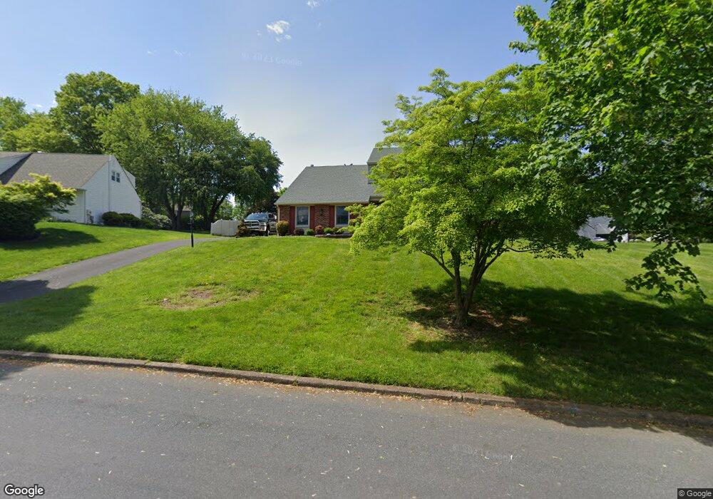
34 High Point Dr Southampton, PA 18966
Estimated Value: $666,000 - $837,000
5
Beds
3
Baths
2,920
Sq Ft
$261/Sq Ft
Est. Value
About This Home
This home is located at 34 High Point Dr, Southampton, PA 18966 and is currently estimated at $761,820, approximately $260 per square foot. 34 High Point Dr is a home located in Bucks County with nearby schools including Churchville Elementary School, Holland Middle School, and Council Rock High School - South.
Ownership History
Date
Name
Owned For
Owner Type
Purchase Details
Closed on
Jun 23, 2006
Sold by
Campana Thomas J and Campana Dorothy
Bought by
Varian Kenneth B and Varian Judith
Current Estimated Value
Home Financials for this Owner
Home Financials are based on the most recent Mortgage that was taken out on this home.
Original Mortgage
$187,000
Outstanding Balance
$110,738
Interest Rate
6.7%
Mortgage Type
Purchase Money Mortgage
Estimated Equity
$651,082
Purchase Details
Closed on
Aug 31, 1998
Sold by
Valley Annemarie Gheen and Gheen Thomas C
Bought by
Campana Thomas J and Campana Dorothy
Home Financials for this Owner
Home Financials are based on the most recent Mortgage that was taken out on this home.
Original Mortgage
$140,000
Interest Rate
6.92%
Create a Home Valuation Report for This Property
The Home Valuation Report is an in-depth analysis detailing your home's value as well as a comparison with similar homes in the area
Home Values in the Area
Average Home Value in this Area
Purchase History
| Date | Buyer | Sale Price | Title Company |
|---|---|---|---|
| Varian Kenneth B | $409,500 | None Available | |
| Campana Thomas J | $190,000 | Lawyers Title Insurance Co |
Source: Public Records
Mortgage History
| Date | Status | Borrower | Loan Amount |
|---|---|---|---|
| Open | Varian Kenneth B | $187,000 | |
| Previous Owner | Campana Thomas J | $140,000 |
Source: Public Records
Tax History Compared to Growth
Tax History
| Year | Tax Paid | Tax Assessment Tax Assessment Total Assessment is a certain percentage of the fair market value that is determined by local assessors to be the total taxable value of land and additions on the property. | Land | Improvement |
|---|---|---|---|---|
| 2025 | $8,311 | $43,150 | $8,480 | $34,670 |
| 2024 | $8,311 | $43,150 | $8,480 | $34,670 |
| 2023 | $7,833 | $43,150 | $8,480 | $34,670 |
| 2022 | $7,761 | $43,150 | $8,480 | $34,670 |
| 2021 | $7,516 | $43,150 | $8,480 | $34,670 |
| 2020 | $7,347 | $43,150 | $8,480 | $34,670 |
| 2019 | $7,032 | $43,150 | $8,480 | $34,670 |
| 2018 | $6,907 | $43,150 | $8,480 | $34,670 |
| 2017 | $6,641 | $43,150 | $8,480 | $34,670 |
| 2016 | $6,641 | $43,150 | $8,480 | $34,670 |
| 2015 | -- | $43,150 | $8,480 | $34,670 |
| 2014 | -- | $43,150 | $8,480 | $34,670 |
Source: Public Records
Map
Nearby Homes
- 148 Laurel Rd
- 534 Holly Knoll Dr
- 161 New Rd
- 86 Valley Dr
- 249 New Rd
- 225 Green Dr
- 955 Bristol Rd
- 1495 Estate Ln
- 47 Creek Rd
- 14 Churchville Ln
- 1435 Churchville Rd
- 10 Churchville Ln
- 3 Tanyard Rd
- 371 N 2nd Street Pike
- 55 W Windrose Dr
- 1336 Stephen Way
- 18 Daffodil Dr
- 1366 Stephen Way
- 120 Gleniffer Hill Rd
- 98 Twigkenham Dr
- 26 High Point Dr
- 2 High Point Cir
- 8 High Point Cir
- 43 Shady Lawn Dr
- 35 Shady Lawn Dr
- 18 High Point Dr
- 51 Shady Lawn Dr
- 35 High Point Dr
- 25 High Point Dr
- 27 Shady Lawn Dr
- 34 High Point Cir
- 12 High Point Cir
- 65 Shady Lawn Dr
- 15 High Point Dr
- 45 High Point Dr
- 19 Shady Lawn Dr
- 20 High Point Cir
- 28 High Point Cir
- 75 Shady Lawn Dr
- 55 High Point Dr