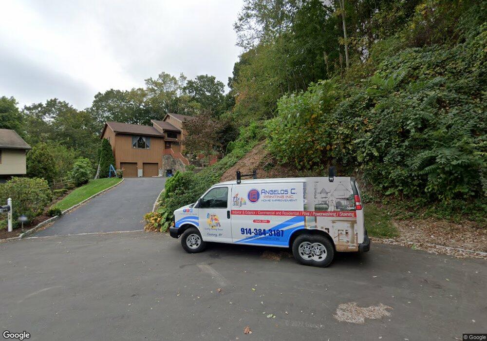
34 Highridge Rd West Harrison, NY 10604
West Harrison NeighborhoodEstimated Value: $1,112,000 - $1,605,000
--
Bed
4
Baths
2,624
Sq Ft
$504/Sq Ft
Est. Value
About This Home
This home is located at 34 Highridge Rd, West Harrison, NY 10604 and is currently estimated at $1,323,333, approximately $504 per square foot. 34 Highridge Rd is a home located in Westchester County with nearby schools including Samuel J. Preston Elementary School, Louis M. Klein Middle School, and Harrison High School.
Ownership History
Date
Name
Owned For
Owner Type
Purchase Details
Closed on
Nov 22, 2013
Sold by
Centofanti Sante and Centofanti Antonino
Bought by
Centofanti Sante and Centofanti Antonina
Current Estimated Value
Purchase Details
Closed on
Jan 18, 2000
Sold by
Coloccia Frank D and Coloccia Georgiann
Bought by
Centofanti Sante and Centofanti Antonine
Create a Home Valuation Report for This Property
The Home Valuation Report is an in-depth analysis detailing your home's value as well as a comparison with similar homes in the area
Home Values in the Area
Average Home Value in this Area
Purchase History
| Date | Buyer | Sale Price | Title Company |
|---|---|---|---|
| Centofanti Sante | -- | The Judicial Title Ins Agenc | |
| Centofanti Sante | $615,000 | Commonwealth Land Title Ins |
Source: Public Records
Tax History Compared to Growth
Tax History
| Year | Tax Paid | Tax Assessment Tax Assessment Total Assessment is a certain percentage of the fair market value that is determined by local assessors to be the total taxable value of land and additions on the property. | Land | Improvement |
|---|---|---|---|---|
| 2024 | $16,400 | $10,500 | $1,480 | $9,020 |
| 2023 | $17,479 | $10,500 | $1,480 | $9,020 |
| 2022 | $15,378 | $10,500 | $1,480 | $9,020 |
| 2021 | $15,395 | $10,500 | $1,480 | $9,020 |
| 2020 | $17,738 | $11,400 | $1,480 | $9,920 |
| 2019 | $18,003 | $11,400 | $1,480 | $9,920 |
| 2018 | $10,970 | $11,400 | $1,480 | $9,920 |
| 2017 | $0 | $12,800 | $1,480 | $11,320 |
| 2016 | $18,809 | $12,800 | $1,480 | $11,320 |
| 2015 | -- | $12,800 | $1,480 | $11,320 |
| 2014 | -- | $12,800 | $1,480 | $11,320 |
| 2013 | -- | $12,800 | $1,480 | $11,320 |
Source: Public Records
Map
Nearby Homes
- 170-172 Woodside Ave
- 40 Brae Burn Dr
- 194 Gainsborg Ave E
- 126 Lincoln Ave E
- 196 Gainsborg Ave E
- 60 Park Ave
- 21 Brae Burn Dr
- 251 Columbus Ave
- 65 Buckout Rd
- 196 Underhill Ave Unit 2A
- 189 Columbus Ave Unit 1B
- 17 Edward St
- 18 Stone Bridge Rd
- 18 Gainsborg Ave E
- 15 Stone Bridge Rd
- 6 Century Ridge Rd
- 121 Columbus Ave Unit 1A
- 107 Columbus Ave Unit 2A
- 97 Columbus Ave Unit 2B
- 14 Stone Bridge Rd