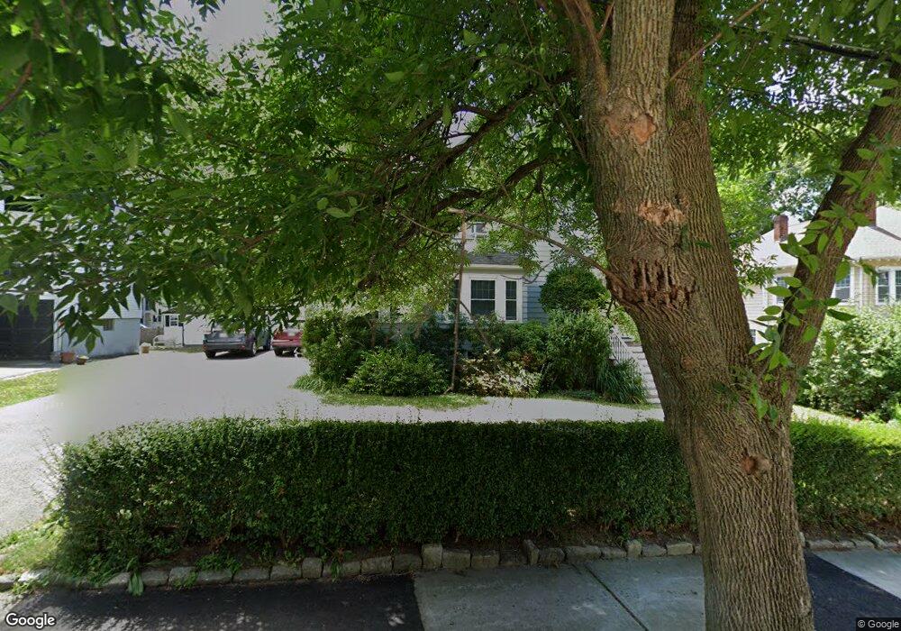
34 Hilltop St Unit 36 Newton, MA 02458
Newton Corner NeighborhoodEstimated Value: $1,331,000 - $1,864,000
6
Beds
4
Baths
3,642
Sq Ft
$464/Sq Ft
Est. Value
About This Home
This home is located at 34 Hilltop St Unit 36, Newton, MA 02458 and is currently estimated at $1,691,105, approximately $464 per square foot. 34 Hilltop St Unit 36 is a home located in Middlesex County with nearby schools including Cabot Elementary School, F.A. Day Middle School, and Newton North High School.
Ownership History
Date
Name
Owned For
Owner Type
Purchase Details
Closed on
Jun 15, 1998
Sold by
Beatrice Shambad Irt and Shumsky Evelyn
Bought by
Shumsky David A and Shumsky Emily M
Current Estimated Value
Home Financials for this Owner
Home Financials are based on the most recent Mortgage that was taken out on this home.
Original Mortgage
$260,000
Outstanding Balance
$52,286
Interest Rate
7.11%
Mortgage Type
Purchase Money Mortgage
Estimated Equity
$1,638,819
Create a Home Valuation Report for This Property
The Home Valuation Report is an in-depth analysis detailing your home's value as well as a comparison with similar homes in the area
Home Values in the Area
Average Home Value in this Area
Purchase History
| Date | Buyer | Sale Price | Title Company |
|---|---|---|---|
| Shumsky David A | $350,000 | -- |
Source: Public Records
Mortgage History
| Date | Status | Borrower | Loan Amount |
|---|---|---|---|
| Open | Shumsky David A | $260,000 |
Source: Public Records
Tax History Compared to Growth
Tax History
| Year | Tax Paid | Tax Assessment Tax Assessment Total Assessment is a certain percentage of the fair market value that is determined by local assessors to be the total taxable value of land and additions on the property. | Land | Improvement |
|---|---|---|---|---|
| 2025 | $15,473 | $1,578,900 | $882,600 | $696,300 |
| 2024 | $14,961 | $1,532,900 | $856,900 | $676,000 |
| 2023 | $14,483 | $1,422,700 | $690,200 | $732,500 |
| 2022 | $13,858 | $1,317,300 | $639,100 | $678,200 |
| 2021 | $13,003 | $1,208,500 | $586,300 | $622,200 |
| 2020 | $12,617 | $1,208,500 | $586,300 | $622,200 |
| 2019 | $11,802 | $1,129,400 | $547,900 | $581,500 |
| 2018 | $11,861 | $1,096,200 | $516,100 | $580,100 |
| 2017 | $11,183 | $1,005,700 | $473,500 | $532,200 |
| 2016 | $10,500 | $922,700 | $434,400 | $488,300 |
| 2015 | $10,011 | $862,300 | $406,000 | $456,300 |
Source: Public Records
Map
Nearby Homes
- 44 Blake St Unit 2
- 14 Summit St
- 110 Harvard St Unit A
- 48 Harvard St Unit 1
- 127-129 Withington Rd Unit 1
- 686 Centre St
- 10 Washington Park
- 10 Washington Park Unit 2
- 10 Washington Park Unit 1
- 35 George St Unit 35
- 37 George St Unit 37
- 642 Centre St
- 324 Adams St Unit 2
- 300 Cabot St
- 59 Hyde Ave
- 548 Centre St Unit 5
- 12 Richardson St Unit 14
- 12-14 Middle St
- 22-24 Emerald St
- 77 Court St Unit 205
- 42 Hilltop St
- 30 Hilltop St
- 24 Holland St Unit 26
- 24 Holland St Unit 24
- 26 Holland St Unit 1
- 48 Hilltop St Unit 48
- 46 Hilltop St Unit 48
- 46 Hilltop St Unit 46
- 46 Hilltop St Unit 1
- 24 Hilltop St
- 27 Winchester Rd
- 39 Winchester Rd
- 37 Winchester Rd
- 39 Winchester Rd Unit 39
- 25 Hilltop St
- 22 Holland St
- 22 Holland St Unit 1
- 49 Winchester Rd
- 45-47 Hilltop St
- 45 Hilltop St Unit 1