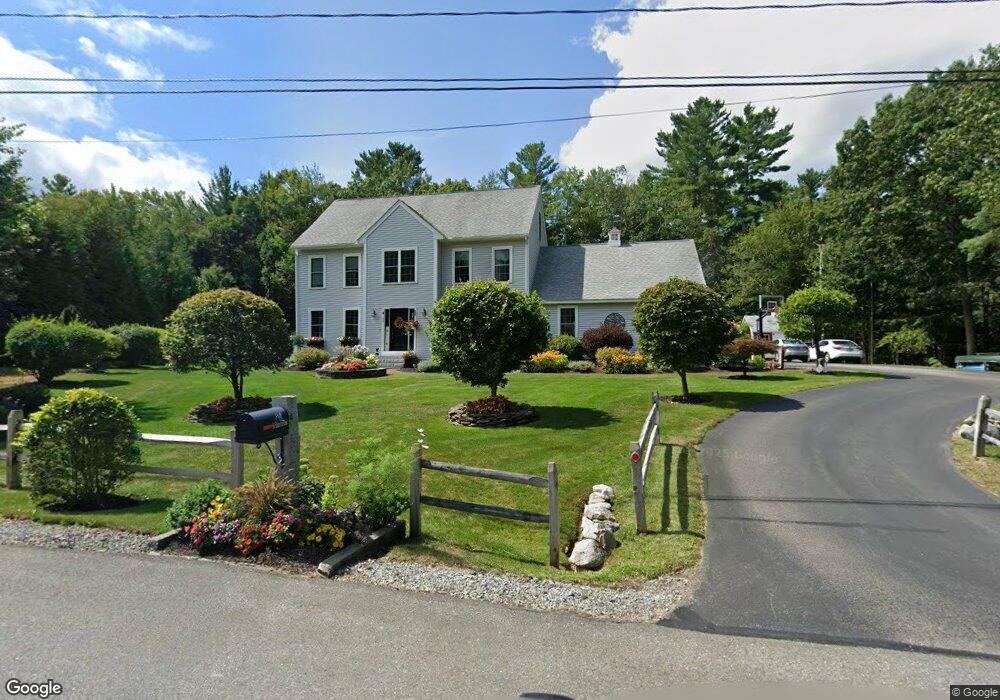
34 Hobart Hill Rd Brookline, NH 03033
Estimated Value: $731,000 - $891,000
3
Beds
3
Baths
3,149
Sq Ft
$256/Sq Ft
Est. Value
About This Home
This home is located at 34 Hobart Hill Rd, Brookline, NH 03033 and is currently estimated at $804,810, approximately $255 per square foot. 34 Hobart Hill Rd is a home located in Hillsborough County with nearby schools including Richard Maghakian Memorial School, Captain Samuel Douglass Academy, and Hollis-Brookline Middle School.
Ownership History
Date
Name
Owned For
Owner Type
Purchase Details
Closed on
Aug 26, 2010
Sold by
Razzaboni Home Builder
Bought by
Hill Shawn S and Hill Jennifer L
Current Estimated Value
Home Financials for this Owner
Home Financials are based on the most recent Mortgage that was taken out on this home.
Original Mortgage
$291,744
Outstanding Balance
$193,915
Interest Rate
4.57%
Mortgage Type
Purchase Money Mortgage
Estimated Equity
$610,895
Create a Home Valuation Report for This Property
The Home Valuation Report is an in-depth analysis detailing your home's value as well as a comparison with similar homes in the area
Home Values in the Area
Average Home Value in this Area
Purchase History
| Date | Buyer | Sale Price | Title Company |
|---|---|---|---|
| Hill Shawn S | $320,000 | -- |
Source: Public Records
Mortgage History
| Date | Status | Borrower | Loan Amount |
|---|---|---|---|
| Open | Hill Shawn S | $291,744 |
Source: Public Records
Tax History Compared to Growth
Tax History
| Year | Tax Paid | Tax Assessment Tax Assessment Total Assessment is a certain percentage of the fair market value that is determined by local assessors to be the total taxable value of land and additions on the property. | Land | Improvement |
|---|---|---|---|---|
| 2024 | $16,279 | $720,000 | $247,100 | $472,900 |
| 2023 | $14,962 | $720,000 | $247,100 | $472,900 |
| 2022 | $13,029 | $438,400 | $142,000 | $296,400 |
| 2021 | $12,529 | $438,400 | $142,000 | $296,400 |
| 2020 | $12,188 | $438,400 | $142,000 | $296,400 |
| 2019 | $13,095 | $438,400 | $142,000 | $296,400 |
| 2018 | $12,959 | $438,400 | $142,000 | $296,400 |
| 2017 | $11,091 | $336,700 | $109,600 | $227,100 |
| 2016 | $10,963 | $336,700 | $109,600 | $227,100 |
| 2015 | $10,495 | $338,000 | $109,600 | $228,400 |
| 2014 | $11,103 | $338,000 | $109,600 | $228,400 |
| 2013 | $9,808 | $310,100 | $100,500 | $209,600 |
Source: Public Records
Map
Nearby Homes
- 25 Rocky Pond Rd
- 22 Hobart Hill Rd
- 5 Carons Way
- 12 Old Milford Rd
- 2 Corey Hill Rd
- 18 Sawtelle Rd
- 42 Pepperell Rd
- 4 Bohanon Bridge Rd
- 6 Flint Meadow Dr
- 47 Pepperell Rd
- 23 Austin Ln
- 22 Austin Ln
- 91 Deacon Ln
- 46 Oak Hill Rd
- 55 Oak Hill Rd
- 9 Marjorie Dr
- 84 Irene Dr
- 8 Colburn Rd
- 59 Cleveland Hill Rd
- 52 W Hollis Rd
- 16 Rocky Pond Rd
- 35 Hobart Hill Rd
- 32 Hobart Hill Rd
- 15 Rocky Pond Rd
- 3 Louis Dr
- 12 Rideout Ln
- 12 Rocky Pond Rd
- 5 Louis Dr
- 6 Louis Dr
- 10 Rocky Pond Rd
- 8 Rideout Ln
- 28 Hobart Hill Rd
- 7 Louis Dr
- 4 Hobart Hill Rd
- 8B Louis Dr
- 8A Louis Dr
- lot 10 Hobart Hill Rd
- 10 Louis Dr
- 23 Rocky Pond Rd
- 7 Rocky Pond Rd