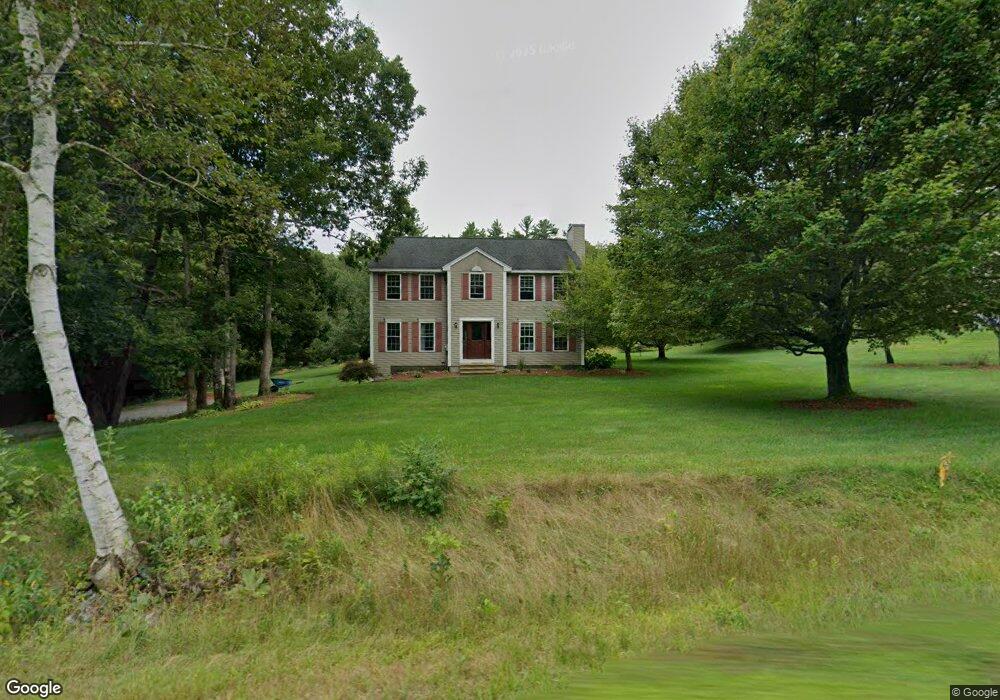
34 Laurel Crest Dr Brookline, NH 03033
Estimated Value: $630,627 - $694,000
4
Beds
3
Baths
2,397
Sq Ft
$277/Sq Ft
Est. Value
About This Home
This home is located at 34 Laurel Crest Dr, Brookline, NH 03033 and is currently estimated at $662,907, approximately $276 per square foot. 34 Laurel Crest Dr is a home with nearby schools including Richard Maghakian Memorial School, Captain Samuel Douglass Academy, and Hollis-Brookline Middle School.
Ownership History
Date
Name
Owned For
Owner Type
Purchase Details
Closed on
Sep 16, 1998
Sold by
Line Rlty Dev
Bought by
Knecht Jean M and Knecht Jeffrey M
Current Estimated Value
Home Financials for this Owner
Home Financials are based on the most recent Mortgage that was taken out on this home.
Original Mortgage
$187,461
Interest Rate
6.9%
Create a Home Valuation Report for This Property
The Home Valuation Report is an in-depth analysis detailing your home's value as well as a comparison with similar homes in the area
Home Values in the Area
Average Home Value in this Area
Purchase History
| Date | Buyer | Sale Price | Title Company |
|---|---|---|---|
| Knecht Jean M | $197,400 | -- |
Source: Public Records
Mortgage History
| Date | Status | Borrower | Loan Amount |
|---|---|---|---|
| Open | Knecht Jean M | $176,000 | |
| Closed | Knecht Jean M | $85,000 | |
| Closed | Knecht Jean M | $75,000 | |
| Closed | Knecht Jean M | $187,461 |
Source: Public Records
Tax History Compared to Growth
Tax History
| Year | Tax Paid | Tax Assessment Tax Assessment Total Assessment is a certain percentage of the fair market value that is determined by local assessors to be the total taxable value of land and additions on the property. | Land | Improvement |
|---|---|---|---|---|
| 2024 | $12,958 | $573,100 | $206,600 | $366,500 |
| 2023 | $11,909 | $573,100 | $206,600 | $366,500 |
| 2022 | $10,441 | $351,300 | $127,900 | $223,400 |
| 2021 | $10,040 | $351,300 | $127,900 | $223,400 |
| 2020 | $9,766 | $351,300 | $127,900 | $223,400 |
| 2019 | $10,493 | $351,300 | $127,900 | $223,400 |
| 2018 | $10,384 | $351,300 | $127,900 | $223,400 |
| 2017 | $8,983 | $272,700 | $99,500 | $173,200 |
| 2016 | $8,879 | $272,700 | $99,500 | $173,200 |
| 2015 | $8,467 | $272,700 | $99,500 | $173,200 |
| 2014 | $8,958 | $272,700 | $99,500 | $173,200 |
| 2013 | $8,626 | $272,700 | $99,500 | $173,200 |
Source: Public Records
Map
Nearby Homes
- 15 N End Rd
- 364 Townsend Hill Rd
- 9 Winterberry Rd
- 7 Winterberry Rd
- 0 Brookline St
- 64 Meadow Rd
- 46 Oak Hill Rd
- 1235 Townsend Rd
- 6 High Oaks Path
- 21 Cranberry St
- 91 Highland St
- 6 Flint Meadow Dr
- 110 Haynes Rd
- 22 Hobart Hill Rd
- 167 Route 13
- 1 Depot Street Extension Unit 5
- 1 Depot Street Extension Unit 2
- 1 Depot Street Extension Unit 3
- 18 Bridle Path
- 28A Rocky Pond Rd
- 2 Route 13
- 36 Laurelcrest Dr
- 35 Laurel Crest Dr
- 1 Laurence Way
- 38 Laurel Crest Dr
- 37 Laurel Crest Dr
- 31 Laurel Crest Dr
- 39 Laurel Crest Dr
- 40 Laurel Crest Dr
- 30 Laurel Crest Dr
- 29 Laurel Crest Dr
- 42 Laurel Crest Dr
- 43 Laurel Crest Dr
- 27 Laurel Crest Dr
- 44 Laurelcrest Dr
- 26 Laurel Crest Dr
- 47 Laurel Crest Dr
- 46 Laurel Crest Dr
- 25 Laurel Crest Dr
- 24 Laurelcrest Dr