34 Long River Rd Sherman, CT 06784
Estimated Value: $1,063,591 - $1,309,000
5
Beds
5
Baths
4,854
Sq Ft
$249/Sq Ft
Est. Value
About This Home
This home is located at 34 Long River Rd, Sherman, CT 06784 and is currently estimated at $1,206,398, approximately $248 per square foot. 34 Long River Rd is a home located in Fairfield County with nearby schools including Sherman School.
Ownership History
Date
Name
Owned For
Owner Type
Purchase Details
Closed on
Mar 13, 2010
Sold by
Wood Gregory S and Wood Iris R
Bought by
Predham John W and Predham Kelly Ann
Current Estimated Value
Home Financials for this Owner
Home Financials are based on the most recent Mortgage that was taken out on this home.
Original Mortgage
$624,000
Outstanding Balance
$412,776
Interest Rate
5.02%
Estimated Equity
$793,622
Create a Home Valuation Report for This Property
The Home Valuation Report is an in-depth analysis detailing your home's value as well as a comparison with similar homes in the area
Home Values in the Area
Average Home Value in this Area
Purchase History
| Date | Buyer | Sale Price | Title Company |
|---|---|---|---|
| Predham John W | $780,000 | -- |
Source: Public Records
Mortgage History
| Date | Status | Borrower | Loan Amount |
|---|---|---|---|
| Open | Predham John W | $624,000 | |
| Closed | Predham John W | $761,500 | |
| Previous Owner | Predham John W | $761,500 |
Source: Public Records
Tax History
| Year | Tax Paid | Tax Assessment Tax Assessment Total Assessment is a certain percentage of the fair market value that is determined by local assessors to be the total taxable value of land and additions on the property. | Land | Improvement |
|---|---|---|---|---|
| 2025 | $10,607 | $636,300 | $71,400 | $564,900 |
| 2024 | $10,410 | $636,300 | $71,400 | $564,900 |
| 2023 | $11,339 | $636,300 | $71,400 | $564,900 |
| 2022 | $11,568 | $636,300 | $71,400 | $564,900 |
| 2021 | $11,861 | $636,300 | $71,400 | $564,900 |
| 2020 | $824 | $636,300 | $71,400 | $564,900 |
| 2019 | $12,605 | $636,300 | $71,400 | $564,900 |
| 2018 | $12,389 | $609,400 | $80,100 | $529,300 |
| 2017 | $816 | $609,400 | $80,100 | $529,300 |
| 2016 | $12,390 | $609,420 | $80,080 | $529,340 |
| 2015 | $12,213 | $609,420 | $80,080 | $529,340 |
| 2014 | $12,091 | $609,420 | $80,080 | $529,340 |
Source: Public Records
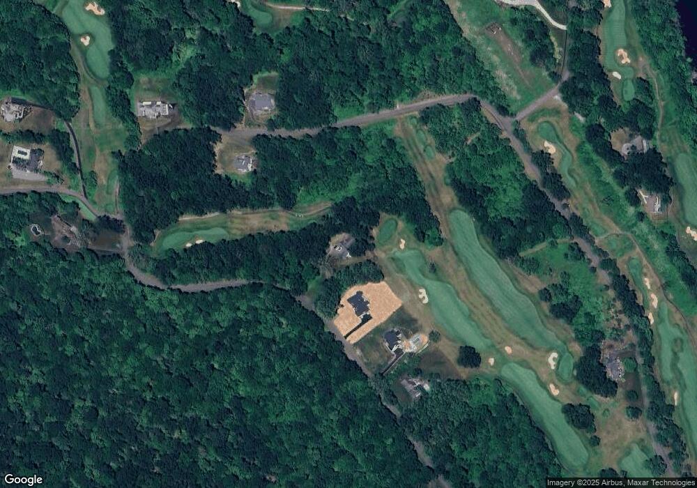
Map
Nearby Homes
- 32 Long River Rd
- 41 Long River Rd
- 60 Long River Rd
- 6 River Bend Ln
- 1 Pond View Ln
- 685 Kent Rd
- 24 Colonial Ridge Dr
- 100 S Kent Rd
- 101 S Kent Rd
- 6 Hoyt Rd
- 34 Front of the Mountain Rd
- 611 Kent Rd
- 31 Cedar Hill Rd
- 612 Kent Rd
- 113 Dog Tail Corners Rd
- 14 SE Mountain Rd
- 00 Anderson Rd
- 0 Aldrich Rd
- 427 Long Mountain Rd
- 5 Lyric Ln
- 30 Long River Rd
- 48 Long River Rd
- 28 Long River Rd
- 54 Long River Rd
- 73 Long River Rd
- 41 Long River Lot 30 Rd
- 41 Long River (Land) Rd
- 26 Long River Rd
- 69 Long River Rd
- 79 Long River Rd
- 45 Long River Rd
- 27 Long River Rd
- 4,10,12 River Oaks Ln
- 4/10/12 River Oaks Ln
- 3 River Bend Ln
- 62 Long River Rd
- 10 River Bend Ln
- 8 River Bend Ln
- 00 River Bend Ln
- 6 River Oaks Ln
Your Personal Tour Guide
Ask me questions while you tour the home.