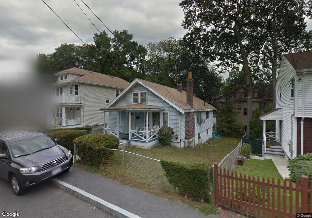
34 Lothrop Ave Milton, MA 02186
Brush Hill NeighborhoodEstimated Value: $529,000 - $696,000
2
Beds
1
Bath
985
Sq Ft
$623/Sq Ft
Est. Value
About This Home
This home is located at 34 Lothrop Ave, Milton, MA 02186 and is currently estimated at $613,712, approximately $623 per square foot. 34 Lothrop Ave is a home located in Norfolk County with nearby schools including Milton High School, KIPP Academy Boston Charter School, and St. Mary of the Hills School.
Ownership History
Date
Name
Owned For
Owner Type
Purchase Details
Closed on
Jan 16, 1998
Sold by
Corley Larry
Bought by
Dely Edgar and Dely Rolande
Current Estimated Value
Home Financials for this Owner
Home Financials are based on the most recent Mortgage that was taken out on this home.
Original Mortgage
$117,611
Interest Rate
7.08%
Mortgage Type
Purchase Money Mortgage
Create a Home Valuation Report for This Property
The Home Valuation Report is an in-depth analysis detailing your home's value as well as a comparison with similar homes in the area
Home Values in the Area
Average Home Value in this Area
Purchase History
| Date | Buyer | Sale Price | Title Company |
|---|---|---|---|
| Dely Edgar | $118,000 | -- |
Source: Public Records
Mortgage History
| Date | Status | Borrower | Loan Amount |
|---|---|---|---|
| Open | Dely Edgar | $277,000 | |
| Closed | Dely Edgar | $25,000 | |
| Closed | Dely Edgar | $117,611 | |
| Previous Owner | Dely Edgar | $107,900 |
Source: Public Records
Tax History
| Year | Tax Paid | Tax Assessment Tax Assessment Total Assessment is a certain percentage of the fair market value that is determined by local assessors to be the total taxable value of land and additions on the property. | Land | Improvement |
|---|---|---|---|---|
| 2025 | $4,971 | $448,200 | $310,000 | $138,200 |
| 2024 | $5,118 | $468,700 | $310,000 | $158,700 |
| 2023 | $5,080 | $445,600 | $288,300 | $157,300 |
| 2022 | $5,120 | $410,600 | $288,300 | $122,300 |
| 2021 | $5,205 | $396,400 | $279,900 | $116,500 |
| 2020 | $5,032 | $383,500 | $258,800 | $124,700 |
| 2019 | $4,908 | $372,400 | $251,300 | $121,100 |
| 2018 | $4,603 | $333,300 | $208,300 | $125,000 |
| 2017 | $4,307 | $317,600 | $198,400 | $119,200 |
| 2016 | $4,088 | $302,800 | $186,000 | $116,800 |
| 2015 | $4,026 | $288,800 | $171,100 | $117,700 |
Source: Public Records
Map
Nearby Homes
- 73 Hudson St
- 29/31 Belvoir Rd
- 82 Blue Hill Ave
- 137 Thacher St Unit 137
- 16 Concord Ave Unit 1
- 7 Parkway Crescent
- 168 Brook Rd
- 46 Audubon Rd
- 214 Brook Rd
- 16 Blue Hill Ave
- 30 Massasoit St
- 80 Blue Hills Pkwy
- 75-77 Belnel Rd
- 485 Blue Hills Pkwy Unit 10
- 485 Blue Hills Pkwy Unit 12
- 485 Blue Hills Pkwy Unit 33
- 485 Blue Hills Pkwy Unit 13
- 485 Blue Hills Pkwy Unit 2
- 485 Blue Hills Pkwy Unit 49
- 485 Blue Hills Pkwy Unit 6
- 30 Lothrop Ave Unit 32
- 32 Lothrop Ave Unit 2
- 32 Lothrop Ave Unit 32
- 30 Lothrop Ave Unit 2
- 30 Lothrop Ave Unit 1
- 32 Lothrop Ave
- 34A Lothrop Ave
- 31 Lothrop Ave Unit 33
- 251 Blue Hills Pkwy
- 35 Lothrop Ave
- 36 Lothrop Ave
- 29 Lothrop Ave
- 37 Lothrop Ave
- 27 Lothrop Ave
- 24 Lothrop Ave
- 72 Decker St
- 255 Blue Hills Pkwy
- 25 Lothrop Ave Unit 25A
- 25 Lothrop Ave Unit 2
- 39 Lothrop Ave
Your Personal Tour Guide
Ask me questions while you tour the home.