34 Maple Ridge Rd Meredith, NH 03253
Estimated Value: $581,763 - $866,000
2
Beds
2
Baths
1,392
Sq Ft
$540/Sq Ft
Est. Value
About This Home
This home is located at 34 Maple Ridge Rd, Meredith, NH 03253 and is currently estimated at $751,191, approximately $539 per square foot. 34 Maple Ridge Rd is a home located in Belknap County with nearby schools including Inter-Lakes Elementary School, Sandwich Central School, and Inter-Lakes Middle High School.
Ownership History
Date
Name
Owned For
Owner Type
Purchase Details
Closed on
Oct 20, 2009
Sold by
Crispi Anthony L and Crispi Barbara E
Bought by
Bell Daniel L and Bell Pamela A
Current Estimated Value
Purchase Details
Closed on
Nov 16, 2005
Sold by
Long Joseph L
Bought by
Hayes Kevin F and Hayes Ann Marie
Purchase Details
Closed on
Mar 12, 2004
Sold by
Pomerleau Norman
Bought by
Long Joseph L
Home Financials for this Owner
Home Financials are based on the most recent Mortgage that was taken out on this home.
Original Mortgage
$62,050
Interest Rate
5.67%
Mortgage Type
Purchase Money Mortgage
Create a Home Valuation Report for This Property
The Home Valuation Report is an in-depth analysis detailing your home's value as well as a comparison with similar homes in the area
Home Values in the Area
Average Home Value in this Area
Purchase History
| Date | Buyer | Sale Price | Title Company |
|---|---|---|---|
| Bell Daniel L | $245,000 | -- | |
| Hayes Kevin F | $77,000 | -- | |
| Long Joseph L | $73,500 | -- |
Source: Public Records
Mortgage History
| Date | Status | Borrower | Loan Amount |
|---|---|---|---|
| Previous Owner | Long Joseph L | $62,050 |
Source: Public Records
Tax History
| Year | Tax Paid | Tax Assessment Tax Assessment Total Assessment is a certain percentage of the fair market value that is determined by local assessors to be the total taxable value of land and additions on the property. | Land | Improvement |
|---|---|---|---|---|
| 2024 | $4,503 | $438,900 | $189,100 | $249,800 |
| 2023 | $4,277 | $432,500 | $189,100 | $243,400 |
| 2022 | $3,952 | $282,900 | $95,500 | $187,400 |
| 2021 | $3,799 | $282,900 | $95,500 | $187,400 |
| 2020 | $3,966 | $282,900 | $95,500 | $187,400 |
| 2019 | $3,896 | $245,200 | $78,200 | $167,000 |
| 2018 | $3,830 | $245,200 | $78,200 | $167,000 |
| 2016 | $3,330 | $213,600 | $74,900 | $138,700 |
| 2015 | $3,247 | $213,600 | $74,900 | $138,700 |
| 2014 | $3,168 | $213,600 | $74,900 | $138,700 |
| 2013 | $3,078 | $213,600 | $74,900 | $138,700 |
Source: Public Records
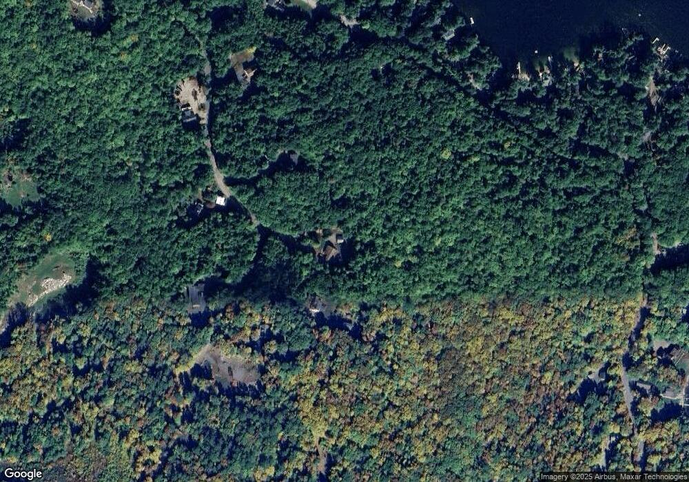
Map
Nearby Homes
- 129 Black Brook Rd
- 119 Black Brook Rd
- 302 Black Brook Rd
- 490 Meredith Center Rd
- 1480 Old N Main St Unit 14
- 2 Clover Ln
- 1 Clover Ln Unit 1
- 38 Lynnewood Rd
- 9 Fells Way Unit A
- 28 Village Ct
- 674 Elm St Unit 30
- 391 Turner Way
- 10 Independence Way Unit A
- 240 Franklin St Unit 9
- 92 Leavitt Rd
- 27 Alpine Cir
- 516 Steele Hill Rd Unit Week 1-10 & 51 and
- 516 Steele Hill Rd Unit Float week 17-23; 37
- 516 Steele Hill Rd Unit Floating week 17-23
- 32 Chapin Terrace
- 34 Mapleridge Rd
- 36 Mapleridge Rd
- 36 Maple Ridge Rd
- 40 Mapleridge Rd
- 40 Maple Ridge Rd
- 24 Maple Ridge Rd
- 23 Maple Ridge Rd
- 39 Maple Ridge Rd
- 44 Maple Ridge Rd
- 141 Black Brook Rd
- 15 Maple Ridge Rd
- 16 Mapleridge Rd
- 149 Black Brook Rd
- 144 Black Brook Rd
- 142 Black Brook Rd
- 138 Black Brook Rd
- 123 Black Brook Rd
- 140 Black Brook Rd
- 148 Black Brook Rd
- 134 Black Brook Rd
Your Personal Tour Guide
Ask me questions while you tour the home.