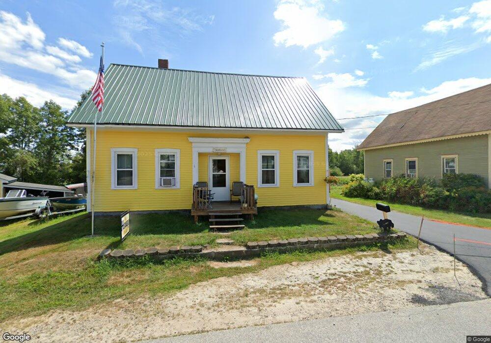
34 Maplecrest Rd Parsonsfield, ME 04047
Estimated Value: $297,000 - $387,000
--
Bed
--
Bath
1,044
Sq Ft
$331/Sq Ft
Est. Value
About This Home
This home is located at 34 Maplecrest Rd, Parsonsfield, ME 04047 and is currently estimated at $345,435, approximately $330 per square foot. 34 Maplecrest Rd is a home with nearby schools including Ossipee Valley Christian School.
Ownership History
Date
Name
Owned For
Owner Type
Purchase Details
Closed on
Sep 15, 2023
Sold by
Boyan Andrew and Boyan Stephanie
Bought by
Ryder Dustin T
Current Estimated Value
Home Financials for this Owner
Home Financials are based on the most recent Mortgage that was taken out on this home.
Original Mortgage
$253,000
Outstanding Balance
$247,574
Interest Rate
6.9%
Mortgage Type
Purchase Money Mortgage
Estimated Equity
$97,861
Create a Home Valuation Report for This Property
The Home Valuation Report is an in-depth analysis detailing your home's value as well as a comparison with similar homes in the area
Home Values in the Area
Average Home Value in this Area
Purchase History
| Date | Buyer | Sale Price | Title Company |
|---|---|---|---|
| Ryder Dustin T | $275,000 | None Available | |
| Ryder Dustin T | $275,000 | None Available |
Source: Public Records
Mortgage History
| Date | Status | Borrower | Loan Amount |
|---|---|---|---|
| Open | Ryder Dustin T | $253,000 | |
| Closed | Ryder Dustin T | $253,000 |
Source: Public Records
Tax History Compared to Growth
Tax History
| Year | Tax Paid | Tax Assessment Tax Assessment Total Assessment is a certain percentage of the fair market value that is determined by local assessors to be the total taxable value of land and additions on the property. | Land | Improvement |
|---|---|---|---|---|
| 2024 | $3,171 | $188,765 | $50,320 | $138,445 |
| 2023 | $5,450 | $336,395 | $64,500 | $271,895 |
| 2022 | $5,214 | $336,395 | $64,500 | $271,895 |
| 2021 | $5,197 | $336,395 | $64,500 | $271,895 |
| 2020 | $5,096 | $336,395 | $64,500 | $271,895 |
| 2019 | $2,375 | $336,395 | $64,500 | $271,895 |
| 2017 | $2,278 | $303,620 | $64,500 | $239,120 |
| 2016 | $4,524 | $303,620 | $64,500 | $239,120 |
| 2015 | $4,554 | $303,620 | $64,500 | $239,120 |
| 2013 | $4,433 | $303,620 | $64,500 | $239,120 |
Source: Public Records
Map
Nearby Homes
- Lot 5 Fenderson Rd
- R13/038 Weeks Rd
- 9 Penny Ln
- 178 Maplecrest Rd
- 80 Spur Rd
- 27 Nocturne Rd
- 27 Lynn Dr
- 424 Maplecrest Rd
- 20 Hollyhock Farm Ln
- Lot #00 North Rd
- Lot# 01 North Rd
- Lot #02 North Rd
- 264 Watson Hill Rd
- 80 Kelley Ln
- Lot #5 Jordan Heights Rd
- 243 Sokokis Trail N
- 155 Quarry Rd
- 14 Hunter Dr
- Lot15-006B Quarry Rd
- Lot 1 Moulton Hill Rd
- 31 Maplecrest Rd
- 37 Maplecrest Rd
- 23 Maplecrest Rd
- 53 Maplecrest Rd
- 18 Maplecrest Rd
- 57 Maplecrest Rd
- 1659 North Rd
- 1665 North Rd
- LOT 3 Maplecrest Rd
- 03 Maplecrest Rd
- 8 Maplecrest Rd
- 04 Maplecrest Rd
- 1653 North Rd
- 0 Maplecrest Rd
- 0 Off Maplecrest Rd Unit 1120844
- 02 Maplecrest Rd
- 1645 North Rd
- 05 Maplecrest Rd
- 6 Maplecrest Rd
- 6 Maplecrest Rd