34 Mill Pond Rd Kittery, ME 03904
Estimated Value: $669,861 - $872,000
2
Beds
1
Bath
1,678
Sq Ft
$451/Sq Ft
Est. Value
About This Home
This home is located at 34 Mill Pond Rd, Kittery, ME 03904 and is currently estimated at $756,215, approximately $450 per square foot. 34 Mill Pond Rd is a home located in York County with nearby schools including Shapleigh School, Horace Mitchell Primary School, and Robert W Traip Academy.
Ownership History
Date
Name
Owned For
Owner Type
Purchase Details
Closed on
Dec 3, 2012
Sold by
James Carol
Bought by
Pelletier Karn J and Pelletier James Carol
Current Estimated Value
Home Financials for this Owner
Home Financials are based on the most recent Mortgage that was taken out on this home.
Original Mortgage
$255,500
Interest Rate
3.4%
Mortgage Type
Purchase Money Mortgage
Create a Home Valuation Report for This Property
The Home Valuation Report is an in-depth analysis detailing your home's value as well as a comparison with similar homes in the area
Home Values in the Area
Average Home Value in this Area
Purchase History
| Date | Buyer | Sale Price | Title Company |
|---|---|---|---|
| Pelletier Karn J | -- | -- |
Source: Public Records
Mortgage History
| Date | Status | Borrower | Loan Amount |
|---|---|---|---|
| Closed | Pelletier Karn J | $255,500 |
Source: Public Records
Tax History Compared to Growth
Tax History
| Year | Tax Paid | Tax Assessment Tax Assessment Total Assessment is a certain percentage of the fair market value that is determined by local assessors to be the total taxable value of land and additions on the property. | Land | Improvement |
|---|---|---|---|---|
| 2024 | $5,757 | $405,400 | $128,600 | $276,800 |
| 2023 | $5,517 | $405,400 | $128,600 | $276,800 |
| 2022 | $5,465 | $405,400 | $128,600 | $276,800 |
| 2021 | $5,270 | $405,400 | $128,600 | $276,800 |
| 2020 | $5,230 | $405,400 | $128,600 | $276,800 |
| 2019 | $5,295 | $304,300 | $122,500 | $181,800 |
| 2018 | $5,112 | $304,300 | $122,500 | $181,800 |
| 2017 | $5,021 | $304,300 | $122,500 | $181,800 |
| 2016 | $4,884 | $304,300 | $122,500 | $181,800 |
| 2015 | $4,768 | $304,300 | $122,500 | $181,800 |
| 2014 | $4,648 | $299,500 | $122,500 | $177,000 |
| 2013 | $4,558 | $299,500 | $122,500 | $177,000 |
Source: Public Records
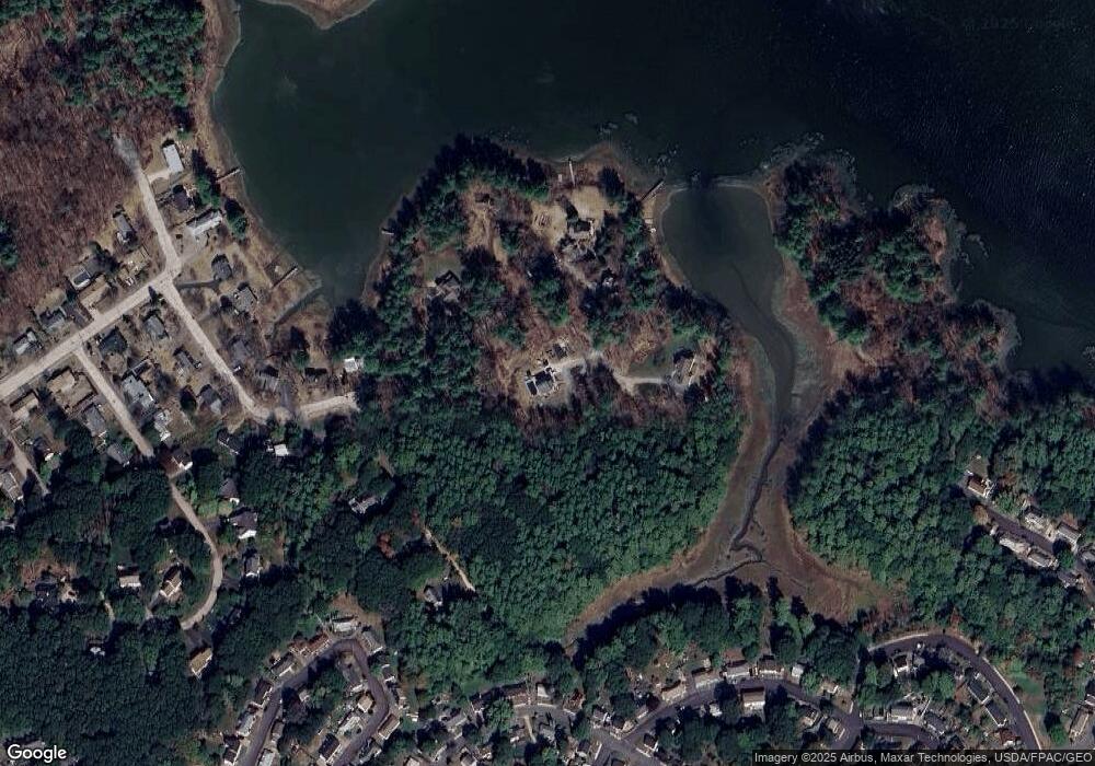
Map
Nearby Homes
- 2 Wainwright Ave
- 12 Gillis Dr Unit 3
- 165 Rogers Rd
- 8 Spruce Point Rd
- 100 Shepards Cove Rd Unit F204
- 100 Shepards Cove Rd Unit G204
- 205 Whipple Rd
- 299 Haley Rd
- 10-12 Pine St
- 197 State Rd
- 8 Water St Unit 2
- 8 Water St Unit 1
- 5 Spinney Way Unit 9
- 20 Mendum Ave
- 27 Oak Terrace
- 72 Pepperrell Rd
- 25 Oak Terrace
- 35 Badgers Island W Unit 203
- 35 Badgers Island W Unit 301
- 35 Badgers Island W Unit 204
- 37 Mill Pond Rd
- 31 Mill Pond Rd
- 39 Mill Pond Rd
- 29 Mill Pond Rd
- 35 Mill Pond Rd
- 27 Mill Pond Rd
- lot7B Mill Pond Rd
- 0 Mill Pond Rd
- 38 Mill Pond Rd
- 33 Mill Pond Rd
- 2 Chickadee Ln
- 4 Chickadee Ln
- 6 Chickadee Ln
- 22 Mill Pond Rd
- 11 Mill Pond Rd
- 8 Chickadee Ln
- 14 Mill Pond Rd
- 9 Mill Pond Rd
- 7 Mill Pond Rd
- 49-51 Boush St