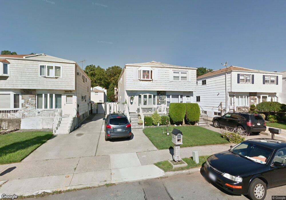
34 Mulberry Ave Staten Island, NY 10314
Bulls Head NeighborhoodEstimated Value: $626,000 - $697,000
3
Beds
3
Baths
1,232
Sq Ft
$544/Sq Ft
Est. Value
About This Home
This home is located at 34 Mulberry Ave, Staten Island, NY 10314 and is currently estimated at $670,450, approximately $544 per square foot. 34 Mulberry Ave is a home located in Richmond County with nearby schools including P.S. 060 Alice Austen School, Is 72 Rocco Laurie, and Port Richmond High School.
Ownership History
Date
Name
Owned For
Owner Type
Purchase Details
Closed on
May 9, 2011
Sold by
Briscoe Kathleen and Camplone Kathleen
Bought by
Leuschner Michael P and Leuschner Angela P
Current Estimated Value
Home Financials for this Owner
Home Financials are based on the most recent Mortgage that was taken out on this home.
Original Mortgage
$260,000
Outstanding Balance
$180,688
Interest Rate
4.88%
Mortgage Type
New Conventional
Estimated Equity
$489,762
Create a Home Valuation Report for This Property
The Home Valuation Report is an in-depth analysis detailing your home's value as well as a comparison with similar homes in the area
Home Values in the Area
Average Home Value in this Area
Purchase History
| Date | Buyer | Sale Price | Title Company |
|---|---|---|---|
| Leuschner Michael P | $325,000 | First American Title Ins Co |
Source: Public Records
Mortgage History
| Date | Status | Borrower | Loan Amount |
|---|---|---|---|
| Open | Leuschner Michael P | $260,000 |
Source: Public Records
Tax History Compared to Growth
Tax History
| Year | Tax Paid | Tax Assessment Tax Assessment Total Assessment is a certain percentage of the fair market value that is determined by local assessors to be the total taxable value of land and additions on the property. | Land | Improvement |
|---|---|---|---|---|
| 2025 | $5,376 | $39,240 | $5,935 | $33,305 |
| 2024 | $5,388 | $37,740 | $5,821 | $31,919 |
| 2023 | $5,208 | $27,043 | $5,598 | $21,445 |
| 2022 | $4,890 | $30,960 | $7,800 | $23,160 |
| 2021 | $5,155 | $31,440 | $7,800 | $23,640 |
| 2020 | $4,970 | $31,680 | $7,800 | $23,880 |
| 2019 | $4,617 | $30,060 | $7,800 | $22,260 |
| 2018 | $4,296 | $22,536 | $5,813 | $16,723 |
| 2017 | $4,106 | $21,612 | $6,920 | $14,692 |
| 2016 | $4,011 | $21,612 | $7,185 | $14,427 |
| 2015 | $3,449 | $20,733 | $5,727 | $15,006 |
| 2014 | $3,449 | $19,560 | $6,480 | $13,080 |
Source: Public Records
Map
Nearby Homes
- 8 Rockville Ave
- 6 Mulberry Ave
- 80 Mulberry Ave
- 57 Bowling Green Place
- 38 Bowling Green Place
- 117 Gary Place
- 126 Mulberry Ave
- 94 Gary Place
- 57 Sleepy Hollow Rd
- 80 Freedom Ave
- 4 Gary Place
- 117 Rockville Ave
- 907 Travis Ave
- 877 Travis Ave Unit 889
- 135 Freedom Ave
- 72 Toddy Ave
- 2054 Richmond Ave
- 234 Freedom Ave Unit 240
- 16 Knapp St
- 20 Toddy Ave
- 32 Mulberry Ave
- 36 Mulberry Ave
- 30 Mulberry Ave
- 38 Mulberry Ave
- 28 Mulberry Ave
- 40 Mulberry Ave
- 26 Mulberry Ave
- 181 Park Dr N
- 183 Park Dr N
- 179 Park Dr N
- 185 Park Dr N
- 24 Mulberry Ave
- 44 Mulberry Ave
- 177 Park Dr N
- 187 Park Dr N
- 175 Parkwood Ave Unit 2
- 175 Park Dr N
- 2 Rockville Ave
- 189 Park Dr N
- 22 Mulberry Ave