34 Needham Ln Rangeley, ME 04970
Estimated Value: $441,000
3
Beds
2
Baths
1,435
Sq Ft
$307/Sq Ft
Est. Value
About This Home
This home is located at 34 Needham Ln, Rangeley, ME 04970 and is currently estimated at $441,000, approximately $307 per square foot. 34 Needham Ln is a home located in Franklin County with nearby schools including Rangeley Lakes Regional School.
Ownership History
Date
Name
Owned For
Owner Type
Purchase Details
Closed on
Apr 26, 2019
Sold by
Armstrong Ft and Womer
Bought by
King John P
Current Estimated Value
Home Financials for this Owner
Home Financials are based on the most recent Mortgage that was taken out on this home.
Original Mortgage
$179,100
Outstanding Balance
$156,488
Interest Rate
4.2%
Mortgage Type
New Conventional
Estimated Equity
$284,512
Purchase Details
Closed on
Dec 27, 2016
Sold by
Armstrong Jo-An C
Bought by
Armstrong Ft and Womer
Create a Home Valuation Report for This Property
The Home Valuation Report is an in-depth analysis detailing your home's value as well as a comparison with similar homes in the area
Purchase History
| Date | Buyer | Sale Price | Title Company |
|---|---|---|---|
| King John P | -- | -- | |
| King John P | -- | -- | |
| Armstrong Ft | -- | -- | |
| Armstrong Ft | -- | -- |
Source: Public Records
Mortgage History
| Date | Status | Borrower | Loan Amount |
|---|---|---|---|
| Open | King John P | $179,100 | |
| Closed | King John P | $179,100 |
Source: Public Records
Tax History
| Year | Tax Paid | Tax Assessment Tax Assessment Total Assessment is a certain percentage of the fair market value that is determined by local assessors to be the total taxable value of land and additions on the property. | Land | Improvement |
|---|---|---|---|---|
| 2024 | $2,832 | $231,600 | $113,100 | $118,500 |
| 2023 | $2,832 | $231,600 | $113,100 | $118,500 |
| 2022 | $2,492 | $165,500 | $80,800 | $84,700 |
| 2021 | $2,454 | $165,500 | $80,800 | $84,700 |
| 2020 | $2,291 | $165,500 | $80,800 | $84,700 |
| 2019 | $2,309 | $165,500 | $80,800 | $84,700 |
| 2018 | $2,234 | $165,500 | $80,800 | $84,700 |
| 2017 | $2,097 | $165,500 | $80,800 | $84,700 |
| 2016 | $1,973 | $165,500 | $80,800 | $84,700 |
| 2015 | $1,895 | $165,500 | $80,800 | $84,700 |
| 2014 | $1,912 | $165,500 | $80,800 | $84,700 |
| 2013 | $1,936 | $165,500 | $80,800 | $84,700 |
Source: Public Records
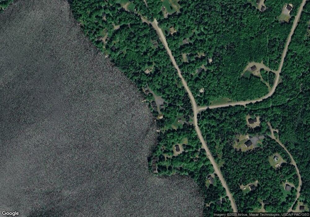
Map
Nearby Homes
- 642 Mingo Loop Rd
- 658 Mingo Loop Rd
- 574 Mingo Loop Rd
- 30 Spotted Fawn Ln
- 60 Targett Rd
- Lot 7 Sanctuary Dr
- 65 Judkins Rd
- 62 Hernborg Rd
- 378 Mingo Loop Rd
- 41 Stone Hedge Ln
- 4 Gilbert Cir
- 58 Winter Rd
- 57 Big Snow Way
- Lot 117 Big Snow Way
- 121 Taylor Farm Rd Unit 121
- 18 Big Snow Way
- M12/41-123 Taylor Farm Rd
- Lot 83 Johnson Ln
- 44 Antler Way
- 62 Loon Lake Rd
- 26 Needham Ln Unit 26
- 26 Needham Ln Unit 5
- 30 Needham Ln Unit 6
- 6 Needham Rd Unit 6
- 220 Quimby Pond Rd
- 44 Needham Ln
- Lot 3 Barts Way Rd
- 235 Quimby Pond Rd
- 241 Quimby Pond Rd
- 247 Quimby Pond Rd
- 254 Quimby Pond Rd
- 212 Quimby Pond Rd
- 255 Quimby Pond Rd
- 0 Chestnut Ln Unit 828302
- 0 Chestnut Ln Unit 801503
- 0 Chestnut Ln Unit 665521
- 0 Chestnut Ln Unit 749230
- 0 Chestnut Ln Unit 707182
- 0 Chestnut Ln Unit 707074
- 0 Chestnut Ln Unit 905940
Your Personal Tour Guide
Ask me questions while you tour the home.