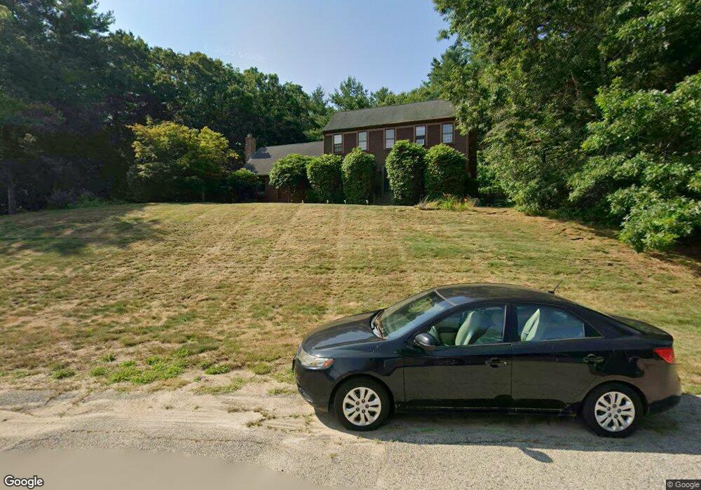
34 Packet Landing Unit B Pembroke, MA 02359
Estimated Value: $392,454 - $577,000
--
Bed
1
Bath
737
Sq Ft
$605/Sq Ft
Est. Value
About This Home
This home is located at 34 Packet Landing Unit B, Pembroke, MA 02359 and is currently estimated at $445,614, approximately $604 per square foot. 34 Packet Landing Unit B is a home located in Plymouth County with nearby schools including Pembroke High School, Cadence Academy Preschool - Hanover, and Cardinal Cushing Centers.
Ownership History
Date
Name
Owned For
Owner Type
Purchase Details
Closed on
Oct 16, 2002
Sold by
Montgomery Elizabeth G
Bought by
Daley Mary E
Current Estimated Value
Home Financials for this Owner
Home Financials are based on the most recent Mortgage that was taken out on this home.
Original Mortgage
$158,000
Interest Rate
6.18%
Mortgage Type
Purchase Money Mortgage
Purchase Details
Closed on
Jun 15, 1994
Sold by
Kiss Peter F and Kiss Karen A
Bought by
Source One Mtg Svcs
Create a Home Valuation Report for This Property
The Home Valuation Report is an in-depth analysis detailing your home's value as well as a comparison with similar homes in the area
Home Values in the Area
Average Home Value in this Area
Purchase History
| Date | Buyer | Sale Price | Title Company |
|---|---|---|---|
| Daley Mary E | $198,000 | -- | |
| Source One Mtg Svcs | $70,934 | -- |
Source: Public Records
Mortgage History
| Date | Status | Borrower | Loan Amount |
|---|---|---|---|
| Open | Source One Mtg Svcs | $141,500 | |
| Closed | Source One Mtg Svcs | $20,000 | |
| Closed | Source One Mtg Svcs | $11,190 | |
| Closed | Source One Mtg Svcs | $158,000 |
Source: Public Records
Tax History Compared to Growth
Tax History
| Year | Tax Paid | Tax Assessment Tax Assessment Total Assessment is a certain percentage of the fair market value that is determined by local assessors to be the total taxable value of land and additions on the property. | Land | Improvement |
|---|---|---|---|---|
| 2025 | $4,309 | $358,500 | $0 | $358,500 |
| 2024 | $4,125 | $342,900 | $0 | $342,900 |
| 2023 | $3,882 | $305,200 | $0 | $305,200 |
| 2022 | $3,830 | $270,700 | $0 | $270,700 |
| 2021 | $3,523 | $241,600 | $0 | $241,600 |
| 2020 | $3,857 | $266,200 | $0 | $266,200 |
| 2019 | $3,659 | $250,600 | $0 | $250,600 |
| 2018 | $3,419 | $229,600 | $0 | $229,600 |
| 2017 | $3,349 | $221,800 | $0 | $221,800 |
| 2016 | $2,925 | $191,700 | $0 | $191,700 |
| 2015 | $2,839 | $192,600 | $0 | $192,600 |
Source: Public Records
Map
Nearby Homes
- 218 Schoosett St
- 21 Union St
- 21 Chowdermarch St
- 5 Royal Dane Dr Unit 46
- 5 Royal Dane Dr Unit 45
- 10 Penstock Ln
- 55 Shipyard Ln
- 172 Washington St
- 451 School St Unit 5-2
- 451 School St Unit 3-4
- 261 Washington St
- 20 Meadow Brook Rd
- 26 Church St
- 34 Canonchet Trail
- 10 Shrine Rd
- 33 Barker Square Dr Unit 33
- 56 Wiltshire Ln
- 330 Pleasant St
- 899 Old Main Street Extension
- 2 Proprietors Dr Unit 23
- 34 Packet Landing Unit A
- 32 Packet Landing Unit B
- 32 Packet Landing Unit A
- 32 Packet Landing Unit 32B
- 40 Packet Landing Unit B
- 40 Packet Landing Unit A
- 40 Packet Landing
- 40 Packet Landing Unit 40
- 40 Packet Landing Unit 40B
- 30 Packet Landing Unit B
- 30 Packet Landing Unit A
- 30 B Packet Landing Unit B
- 28 Packet Landing Unit B
- 28 Packet Landing Unit A
- 28 Packet Landing Unit 8-B
- 44 Packet Landing Unit B
- 44 Packet Landing Unit A
- 44 Packet Landing Unit 44A
- 24 Packet Landing Unit B
- 24 Packet Landing Unit A