34 Pear Tree Ln Colora, MD 21917
Estimated Value: $341,086 - $447,000
--
Bed
2
Baths
1,876
Sq Ft
$208/Sq Ft
Est. Value
About This Home
This home is located at 34 Pear Tree Ln, Colora, MD 21917 and is currently estimated at $389,772, approximately $207 per square foot. 34 Pear Tree Ln is a home located in Cecil County with nearby schools including Rising Sun Elementary School, Rising Sun Middle School, and Rising Sun High School.
Ownership History
Date
Name
Owned For
Owner Type
Purchase Details
Closed on
Aug 29, 1980
Sold by
Atwood Junior and Atwood Barbara
Bought by
Albert Herbert E and Albert Rosemary
Current Estimated Value
Home Financials for this Owner
Home Financials are based on the most recent Mortgage that was taken out on this home.
Original Mortgage
$54,900
Interest Rate
12.95%
Create a Home Valuation Report for This Property
The Home Valuation Report is an in-depth analysis detailing your home's value as well as a comparison with similar homes in the area
Home Values in the Area
Average Home Value in this Area
Purchase History
| Date | Buyer | Sale Price | Title Company |
|---|---|---|---|
| Albert Herbert E | $54,900 | -- |
Source: Public Records
Mortgage History
| Date | Status | Borrower | Loan Amount |
|---|---|---|---|
| Closed | Albert Herbert E | $54,900 |
Source: Public Records
Tax History Compared to Growth
Tax History
| Year | Tax Paid | Tax Assessment Tax Assessment Total Assessment is a certain percentage of the fair market value that is determined by local assessors to be the total taxable value of land and additions on the property. | Land | Improvement |
|---|---|---|---|---|
| 2025 | $1,996 | $276,500 | $76,400 | $200,100 |
| 2024 | $1,647 | $263,167 | $0 | $0 |
| 2023 | $1,432 | $249,833 | $0 | $0 |
| 2022 | $1,784 | $236,500 | $76,400 | $160,100 |
| 2021 | $1,748 | $232,933 | $0 | $0 |
| 2020 | $1,863 | $229,367 | $0 | $0 |
| 2019 | $1,735 | $225,800 | $76,400 | $149,400 |
| 2018 | $1,568 | $217,900 | $0 | $0 |
| 2017 | $1,810 | $210,000 | $0 | $0 |
| 2016 | $1,300 | $202,100 | $0 | $0 |
| 2015 | $1,300 | $200,933 | $0 | $0 |
| 2014 | $2,082 | $199,767 | $0 | $0 |
Source: Public Records
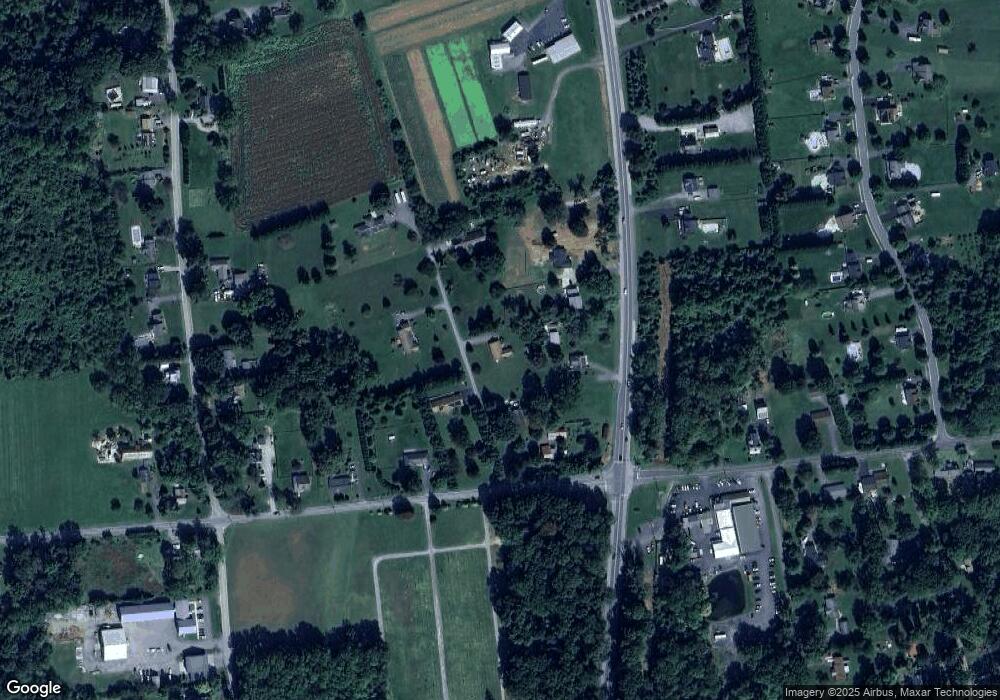
Map
Nearby Homes
- 127 Barnes Corner Rd
- 12 Thruway Dr
- 96 Sunrise Dr
- 192 Barnes Corner Rd
- 152 Hopewell Rd
- 0 Colora Rd
- 202 W Main St
- 107 Britton Dr
- 1718 Jacob Tome Memorial Hwy
- 43 Pearl St
- 330 Montgomery Rd
- 27 Haines Ave
- 1964 Conowingo Rd
- 306 Ryan Dr
- 21 Country Ln
- 1741 Liberty Grove Rd
- 1668 Colora Rd
- 296 Post Rd
- 208 Maple Leaf Dr
- 102 Broad Leaf Ct
- 14 Pear Tree Ln
- 2437 Jacob Tome Memorial Hwy
- 25 Pear Tree Ln
- 2449 Tome Hwy
- 2449 Jacob Tome Memorial Hwy
- 2617 Liberty Grove Rd
- 37 Pear Tree Ln
- 2455 Jacob Tome Memorial Hwy
- 54 Pear Tree Ln
- 2591 Liberty Grove Rd
- 0 Jacob Tome Memorial Hwy Unit MDCC2006718
- 0 Jacob Tome Memorial Hwy Unit MDCC2006696
- 0 Tome Hwy
- 65 Pear Tree Ln
- 2571 Liberty Grove Rd
- 2464 Jacob Tome Memorial Hwy
- 2561 Liberty Grove Rd
- 2476 Jacob Tome Memorial Hwy
- 19 Barnes Corner Rd
- 6 Barnes Corner Rd