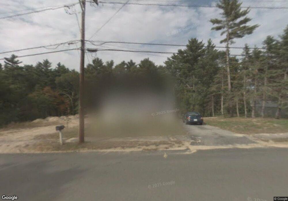
34 Pilgrim Rd Pembroke, MA 02359
Estimated Value: $480,000 - $585,000
2
Beds
1
Bath
925
Sq Ft
$564/Sq Ft
Est. Value
About This Home
This home is located at 34 Pilgrim Rd, Pembroke, MA 02359 and is currently estimated at $521,295, approximately $563 per square foot. 34 Pilgrim Rd is a home located in Plymouth County with nearby schools including Pembroke High School, Cadence Academy Preschool - Hanover, and Cardinal Cushing Centers.
Ownership History
Date
Name
Owned For
Owner Type
Purchase Details
Closed on
Dec 16, 2023
Sold by
Mcdonald Brendan
Bought by
Mcdonald Brendan and Mcdonald Alexzandra C
Current Estimated Value
Purchase Details
Closed on
Nov 20, 2009
Sold by
Macdonald Brendan
Bought by
Mcdonald Brendan
Home Financials for this Owner
Home Financials are based on the most recent Mortgage that was taken out on this home.
Original Mortgage
$230,120
Interest Rate
4.86%
Mortgage Type
FHA
Purchase Details
Closed on
Jan 11, 2007
Sold by
Fnma
Bought by
Macdonald Brendan S
Purchase Details
Closed on
Feb 7, 2006
Sold by
Lee Parker
Bought by
Mtg Electronic Registr and Greenpoint Mtg Fndg In
Create a Home Valuation Report for This Property
The Home Valuation Report is an in-depth analysis detailing your home's value as well as a comparison with similar homes in the area
Home Values in the Area
Average Home Value in this Area
Purchase History
| Date | Buyer | Sale Price | Title Company |
|---|---|---|---|
| Mcdonald Brendan | -- | None Available | |
| Mcdonald Brendan | -- | -- | |
| Macdonald Brendan S | $221,000 | -- | |
| Federal National Mortgage Association | -- | -- | |
| Mtg Electronic Registr | $266,138 | -- |
Source: Public Records
Mortgage History
| Date | Status | Borrower | Loan Amount |
|---|---|---|---|
| Previous Owner | Mtg Electronic Registr | $3,550 | |
| Previous Owner | Mtg Electronic Registr | $230,120 |
Source: Public Records
Tax History Compared to Growth
Tax History
| Year | Tax Paid | Tax Assessment Tax Assessment Total Assessment is a certain percentage of the fair market value that is determined by local assessors to be the total taxable value of land and additions on the property. | Land | Improvement |
|---|---|---|---|---|
| 2025 | $5,731 | $476,800 | $305,200 | $171,600 |
| 2024 | $5,654 | $470,000 | $300,000 | $170,000 |
| 2023 | $5,636 | $443,100 | $285,200 | $157,900 |
| 2022 | $5,265 | $372,100 | $235,200 | $136,900 |
| 2021 | $4,919 | $337,400 | $220,000 | $117,400 |
| 2020 | $4,819 | $332,600 | $215,200 | $117,400 |
| 2019 | $4,654 | $318,800 | $210,000 | $108,800 |
| 2018 | $4,576 | $307,300 | $210,000 | $97,300 |
| 2017 | $4,417 | $292,500 | $195,200 | $97,300 |
| 2016 | $4,222 | $276,700 | $180,000 | $96,700 |
| 2015 | $3,291 | $223,300 | $170,000 | $53,300 |
Source: Public Records
Map
Nearby Homes
- 46 Lorna Ave
- 261 Washington St
- 218 Schoosett St
- 15 Kings Terrace
- 33 Barker Square Dr Unit 33
- 172 Washington St
- 31 Hillcrest Dr
- 66 Hemlock Dr
- 15 Bagnell Dr Unit 15
- 55 Shipyard Ln
- 547 Washington St Unit A10
- 133 Brigantine Cir
- 21 Union St
- 40 Fairwood Dr
- 5 Royal Dane Dr Unit 46
- 10 Royal Dane Dr Unit 88
- 21 Chowdermarch St
- 28 Old Shipyard Ln
- 451 School St Unit 5-2
- 18 Allen St