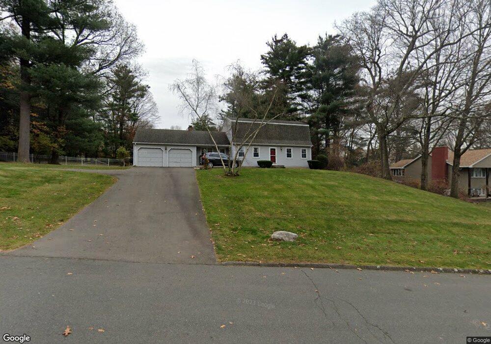
34 Pinewood Dr Vernon Rockville, CT 06066
North Vernon NeighborhoodEstimated Value: $402,000 - $488,000
3
Beds
2
Baths
2,058
Sq Ft
$218/Sq Ft
Est. Value
About This Home
This home is located at 34 Pinewood Dr, Vernon Rockville, CT 06066 and is currently estimated at $449,333, approximately $218 per square foot. 34 Pinewood Dr is a home located in Tolland County with nearby schools including Lake Street School, Vernon Center Middle School, and Rockville High School.
Ownership History
Date
Name
Owned For
Owner Type
Purchase Details
Closed on
Jun 15, 1995
Sold by
Morline Francis and Morline Nancy
Bought by
Holmes Mark and Holmes Lori
Current Estimated Value
Home Financials for this Owner
Home Financials are based on the most recent Mortgage that was taken out on this home.
Original Mortgage
$144,000
Interest Rate
8.24%
Mortgage Type
Unknown
Create a Home Valuation Report for This Property
The Home Valuation Report is an in-depth analysis detailing your home's value as well as a comparison with similar homes in the area
Home Values in the Area
Average Home Value in this Area
Purchase History
| Date | Buyer | Sale Price | Title Company |
|---|---|---|---|
| Holmes Mark | $181,000 | -- |
Source: Public Records
Mortgage History
| Date | Status | Borrower | Loan Amount |
|---|---|---|---|
| Open | Holmes Mark | $100,000 | |
| Closed | Holmes Mark | $50,000 | |
| Closed | Holmes Mark | $138,000 | |
| Closed | Holmes Mark | $144,000 |
Source: Public Records
Tax History Compared to Growth
Tax History
| Year | Tax Paid | Tax Assessment Tax Assessment Total Assessment is a certain percentage of the fair market value that is determined by local assessors to be the total taxable value of land and additions on the property. | Land | Improvement |
|---|---|---|---|---|
| 2025 | $7,514 | $208,190 | $42,070 | $166,120 |
| 2024 | $7,305 | $208,190 | $42,070 | $166,120 |
| 2023 | $6,951 | $208,190 | $42,070 | $166,120 |
| 2022 | $6,951 | $208,190 | $42,070 | $166,120 |
| 2021 | $6,752 | $170,380 | $42,070 | $128,310 |
| 2020 | $6,752 | $170,380 | $42,070 | $128,310 |
| 2019 | $6,752 | $170,380 | $42,070 | $128,310 |
| 2018 | $6,752 | $170,380 | $42,070 | $128,310 |
| 2017 | $6,595 | $170,380 | $42,070 | $128,310 |
| 2016 | $6,511 | $171,200 | $42,140 | $129,060 |
| 2015 | $6,319 | $171,200 | $42,140 | $129,060 |
| 2014 | $6,182 | $171,200 | $42,140 | $129,060 |
Source: Public Records
Map
Nearby Homes
- 39 W Vernon St
- 413 Lady Bug Ln Unit 413
- 441 Millstream Dr Unit 441
- 5 Allison Rd
- 107 Main St
- 229 Phoenix St
- 52 Charis Rd
- 128 Pond Ln
- 325 Kelly Rd
- 325 Kelly Rd Unit L5
- 600 Lydall St
- 100 Richard Rd
- 68 Deer Run Trail
- 213 Oakland St Unit D
- 244 Oakland St Unit E
- 244 Oakland St Unit H
- 34 Benedict Dr
- 56 Elizabeth Dr
- 120 Green Manor Rd
- 29 Bretton Rd